| Site Name:
Phoinix-Loutro |
Map
Coordinates: 15-16/21-22.1 |
Elevation (m):
40 |
| Structure size sq. m. : |
Tumble size sq. m.: |
Scatter size sq. m.:
| |
| Function : Sector I: Roman-Late Roman:
public area? Byzantine?-Turkish: fort. Samian enclosure:
Hellenistic-Roman: sanctuary? Sector II: Roman-Late Roman:
tombs. Sector III: Archaic-Hellenistic: building; Roman-Late
Roman: houses. Sector IV: Roman-Late Roman harbour area.
Sector V: Prehistoric. Sector VI: Hellenistic-Late Roman
WHAT?, Turkish fort; Sector VII: Hellenistic-Late Roman
harbour; Turkish-Modern: harbour, village. Sector VIII: Late
Roman: what? Venetian-Modern: church; Venetian-Turkish: field
houses |
| Prehistoric Phase: |
Graeco-Roman Phase:
Hellenistic - Late Roman |
Byzantine-Turkish Phase: Venetian
- Modern |
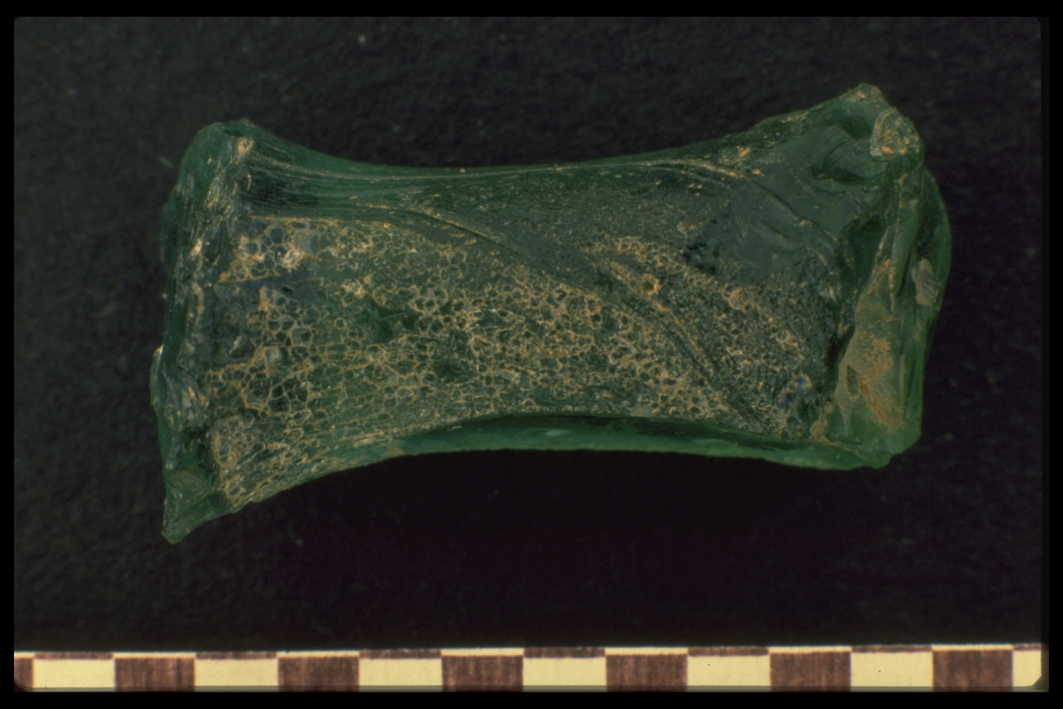
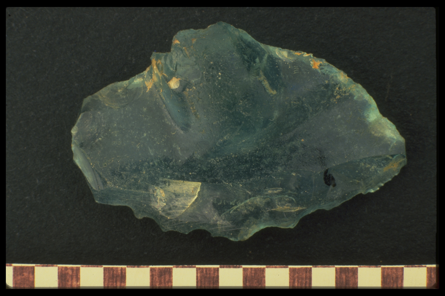
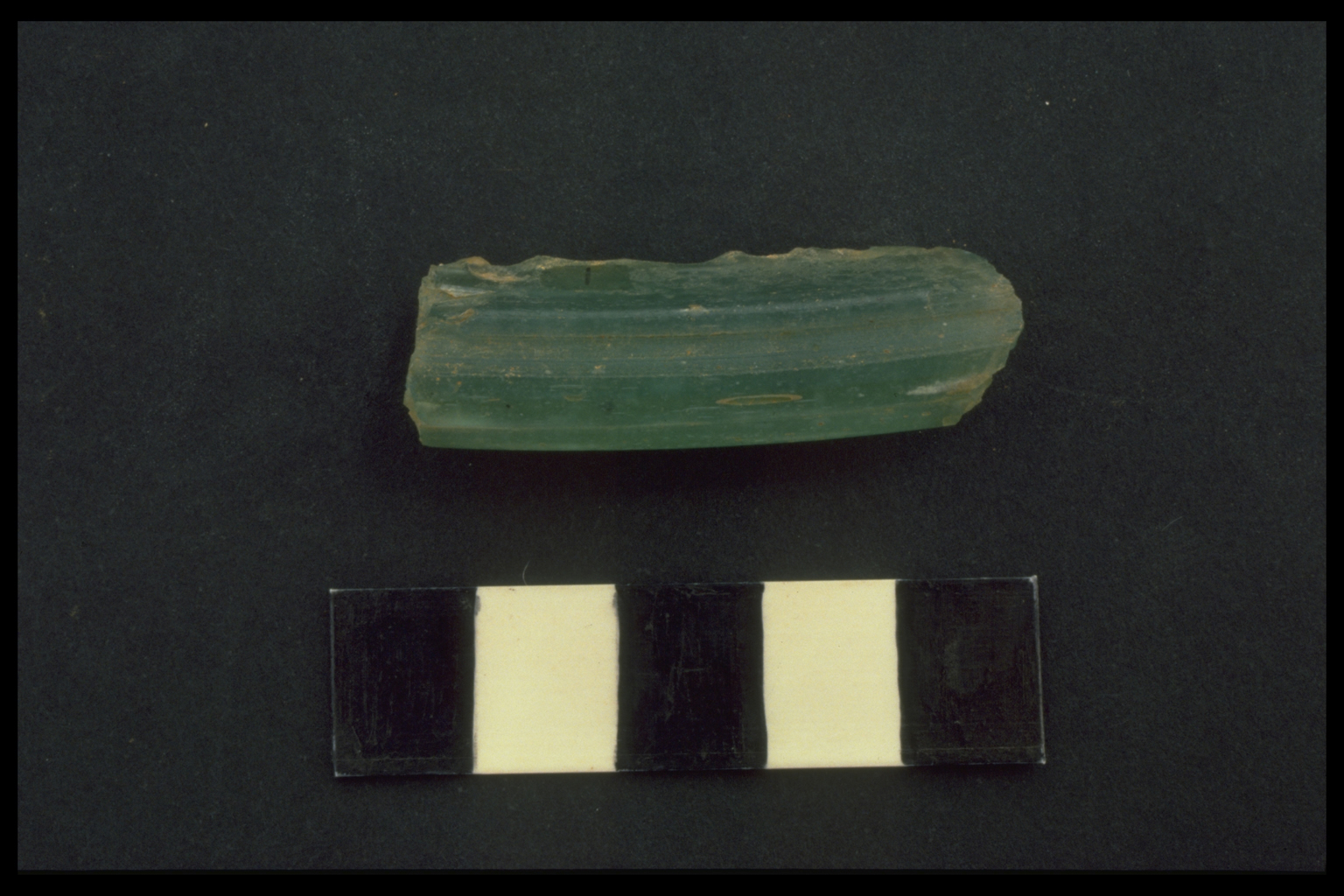
Artefact Comment:
ADD pottery description. Many glass vessel
fragments (2 ER in date, 2 R in date, 6 R/LR in date, 2 LR in
date. 2 coins (one bronze Roman provincial coin, the other AD
1900). Metal fragments. Shell. Plaster. Chipped stone
(chert and obsidian) and worked limestone (polished). |
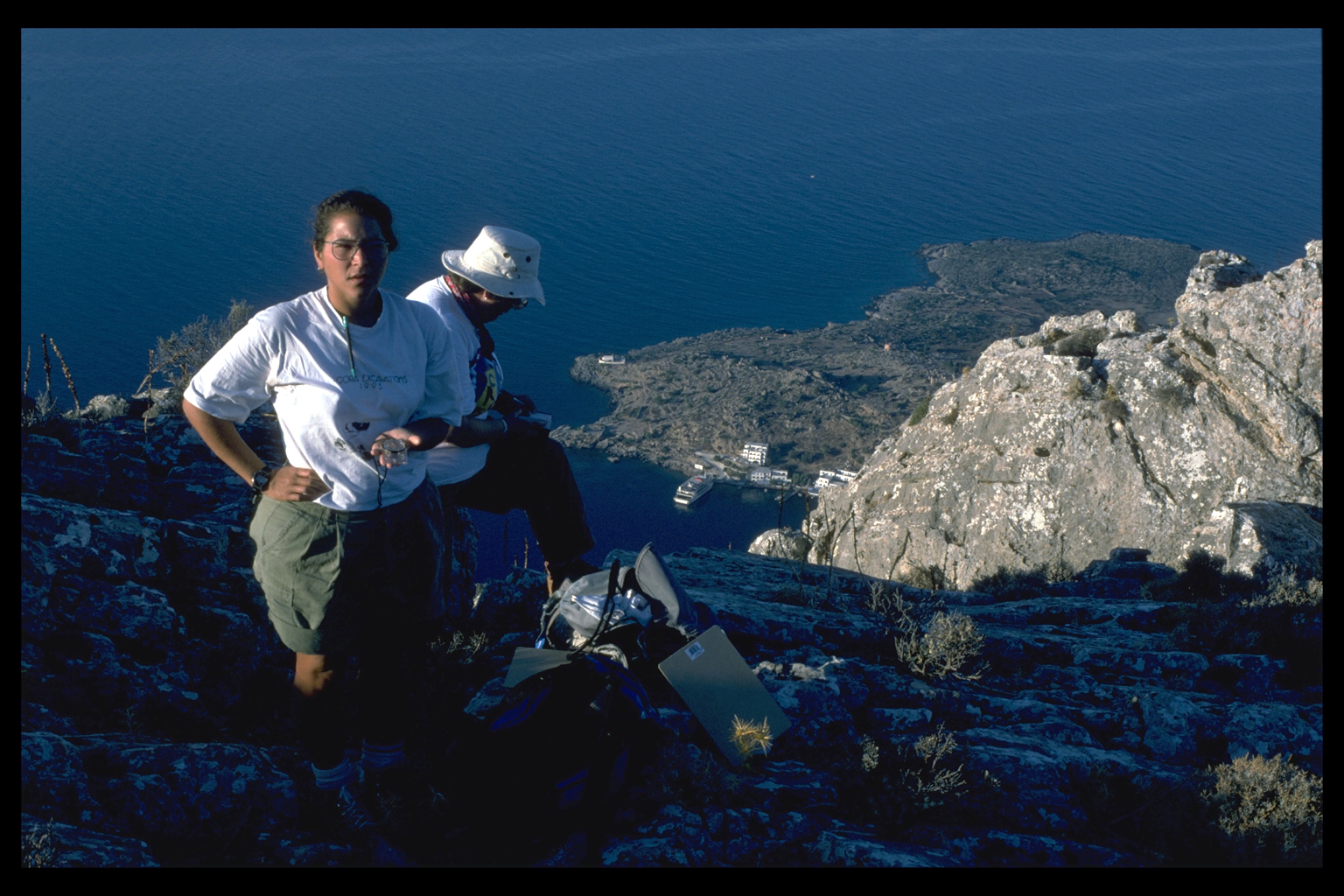
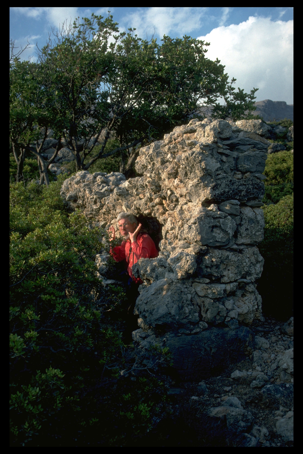
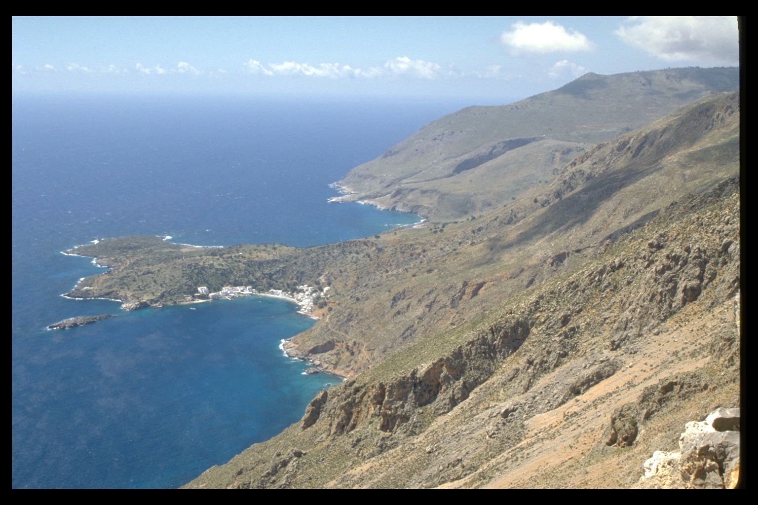
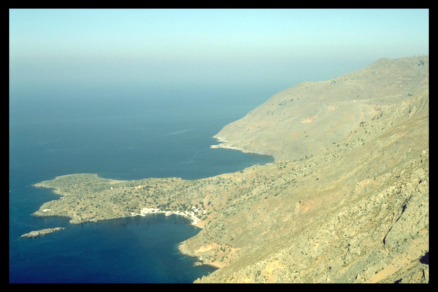
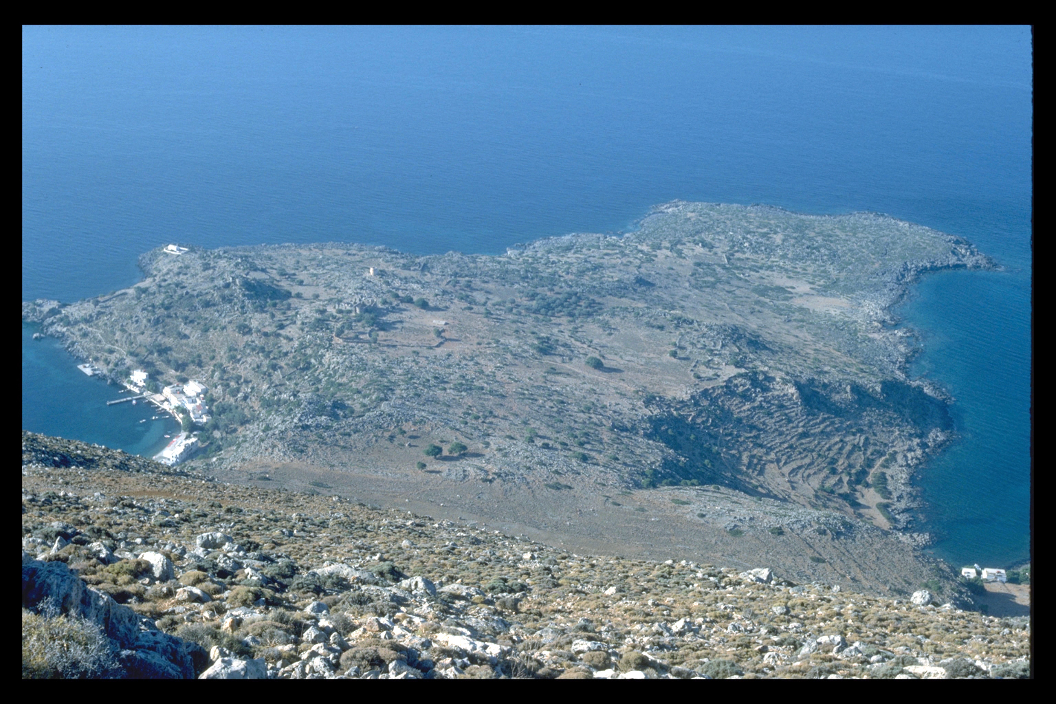
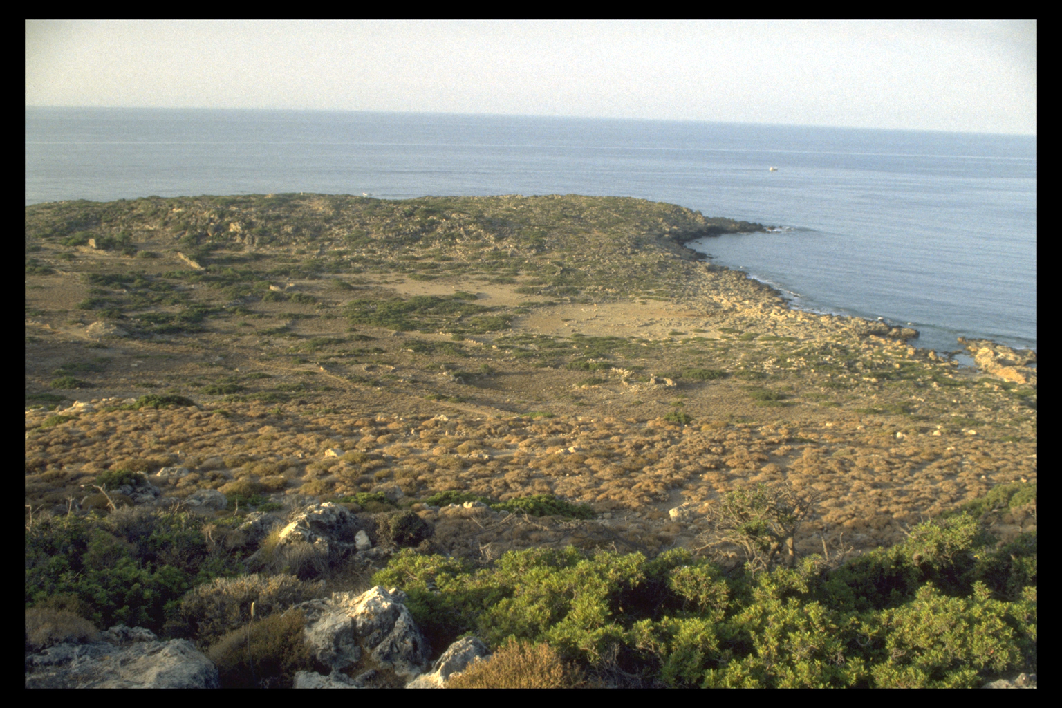
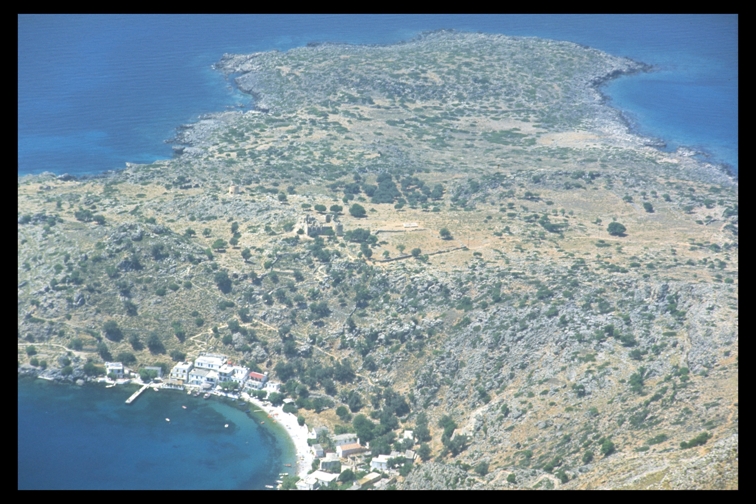
Site Description:
Phoinix-Loutro here takes in the whole of the peninsula with
Phoinikas bay on the W and Loutro proper on the E. Height:
0-80m. This site entry covers the topography of the whole
peninsula, and the post-Prehistoric material; the Prehistoric
material is handled separately (5.12, 5.13, 5.14, 5.15, 5.16).
Following the field work and the mapping the peninsula has
been divided on the basis of topography and likely functional
uses in antiquity for analysis into the following eight
sectors, whose entries follow this one:
Sector A: E
slopes;
Sector B: Tombs;
Sector C: Houses;
Sector D:
Raised Harbour Area;
Sector E : Cape Moures;
Sector F:
Centre of Peninsula;
Sector G: Deep Harbour;
Sector H:
Phoinikas. |