Environmental Zones
We divided Sphakia into eight different environmental zones, in order
to help us structure our archaeological sampling. These zones are based
on altitude, geology, and vegetation. People in Sphakia have used different
zones in different ways in different periods.
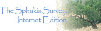
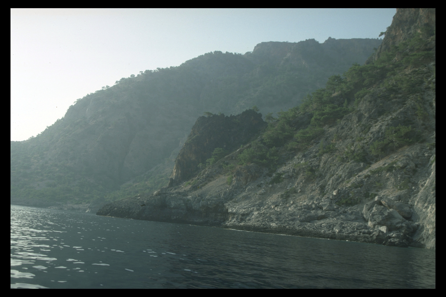
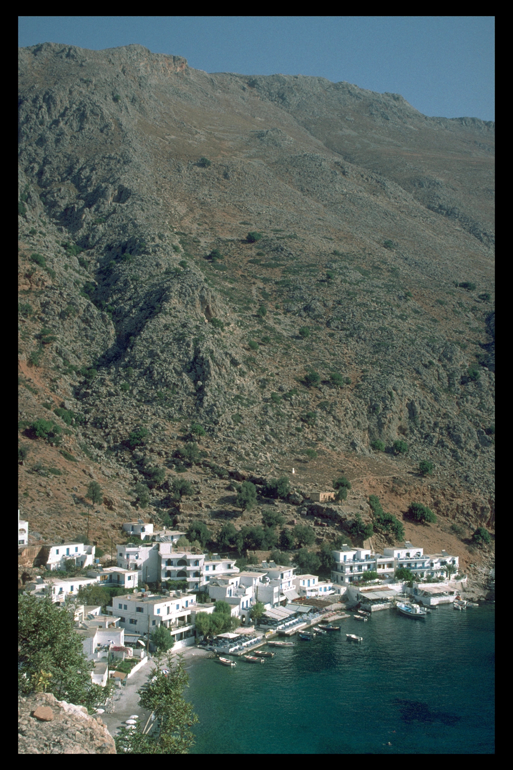
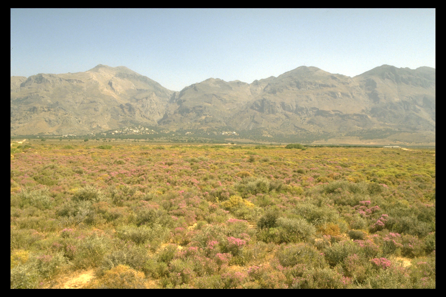
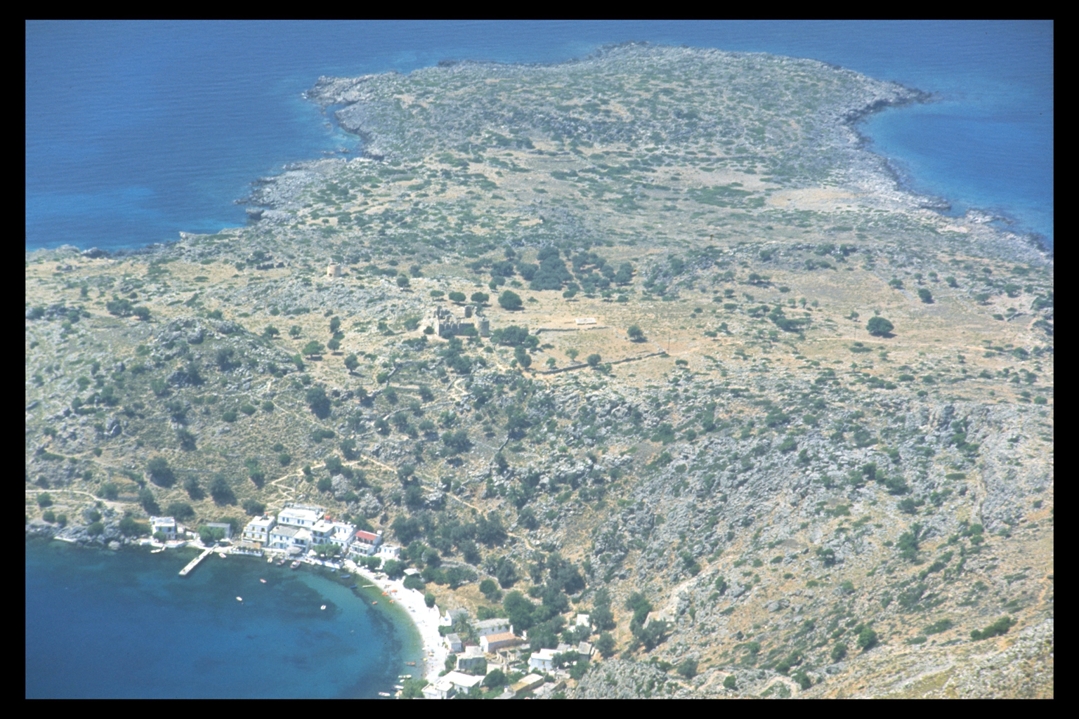
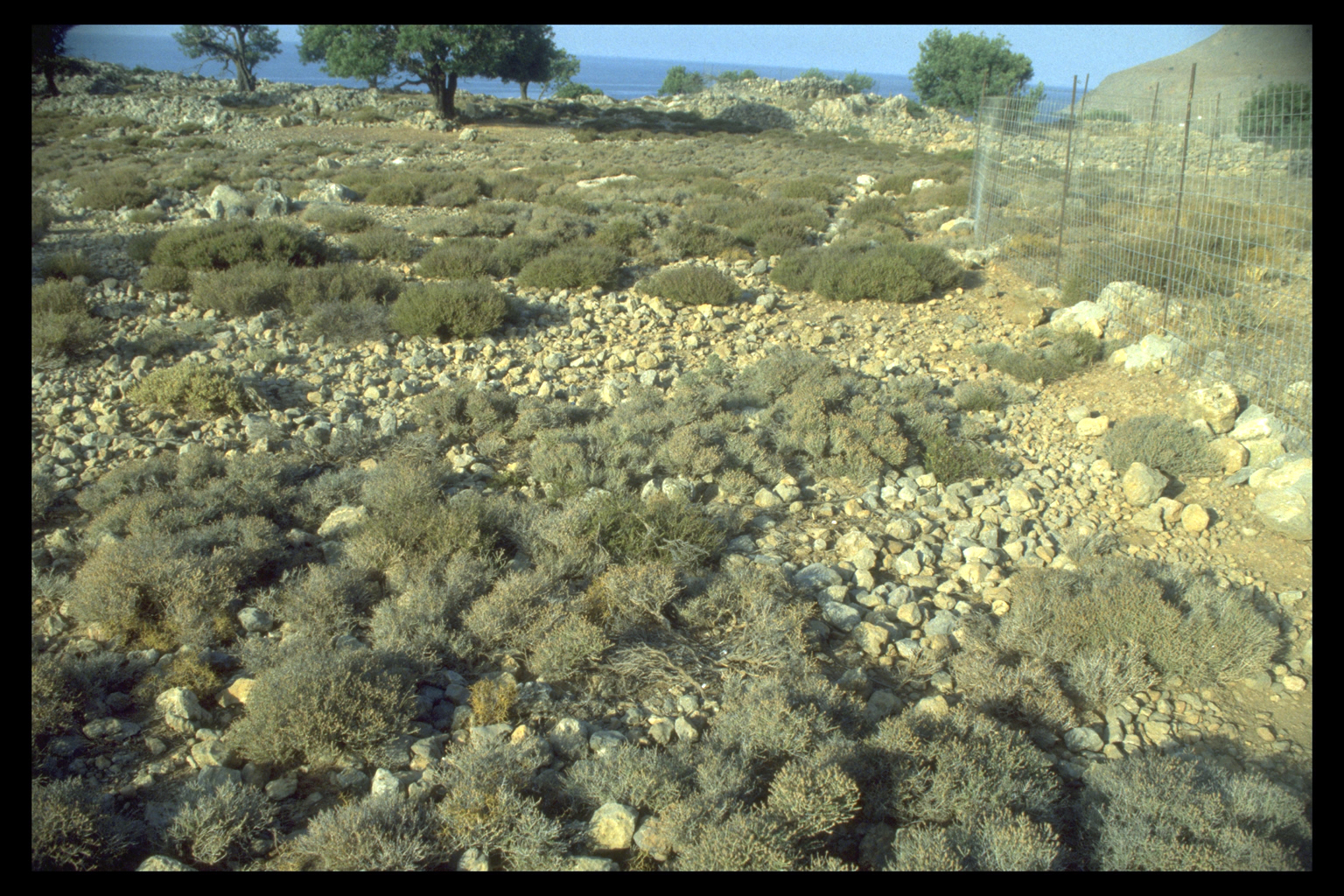
1. Coasts and Coastal Plains
Several locations along the coast of Sphakia show clearly the effects
of the great uplift of the Late Roman period (4th - 6th c.A.D.), a single
seismic event which raised much of W Crete by some 3 - 4 metres. The effect
was particularly dramatic at Loutro, where the uplift made the shallower
western harbour unusable; the deeper eastern harbour has remained in use.
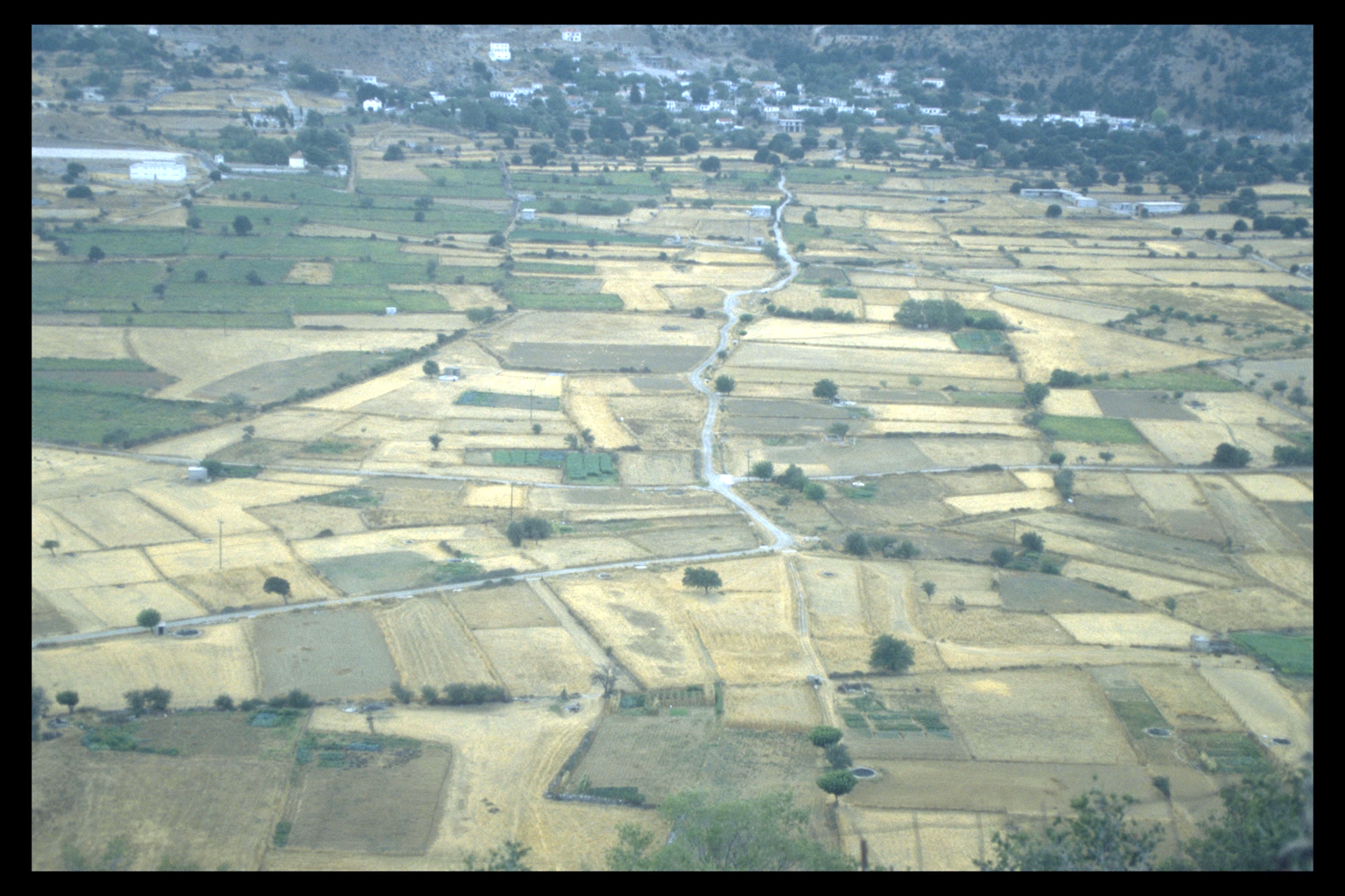
The largest coastal plain in Sphakia is the Frangokastello Plain, much
of which was definitely cultivated in the Graeco-Roman period, as also
in the more recent past.
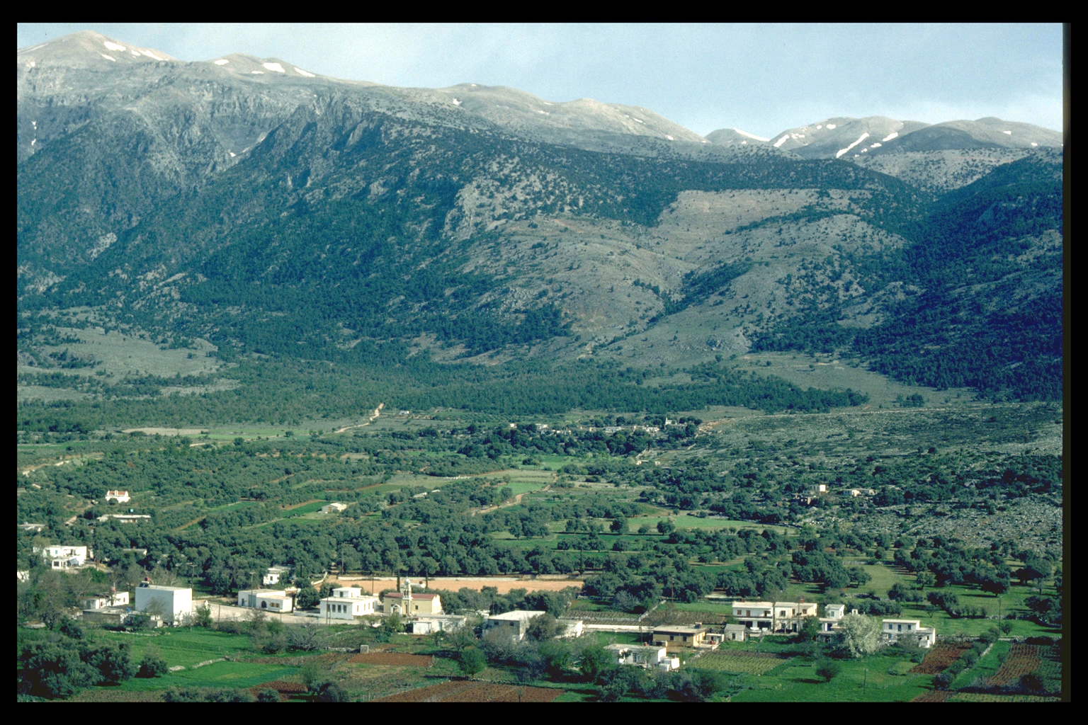
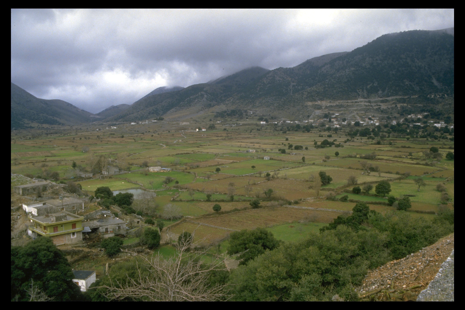
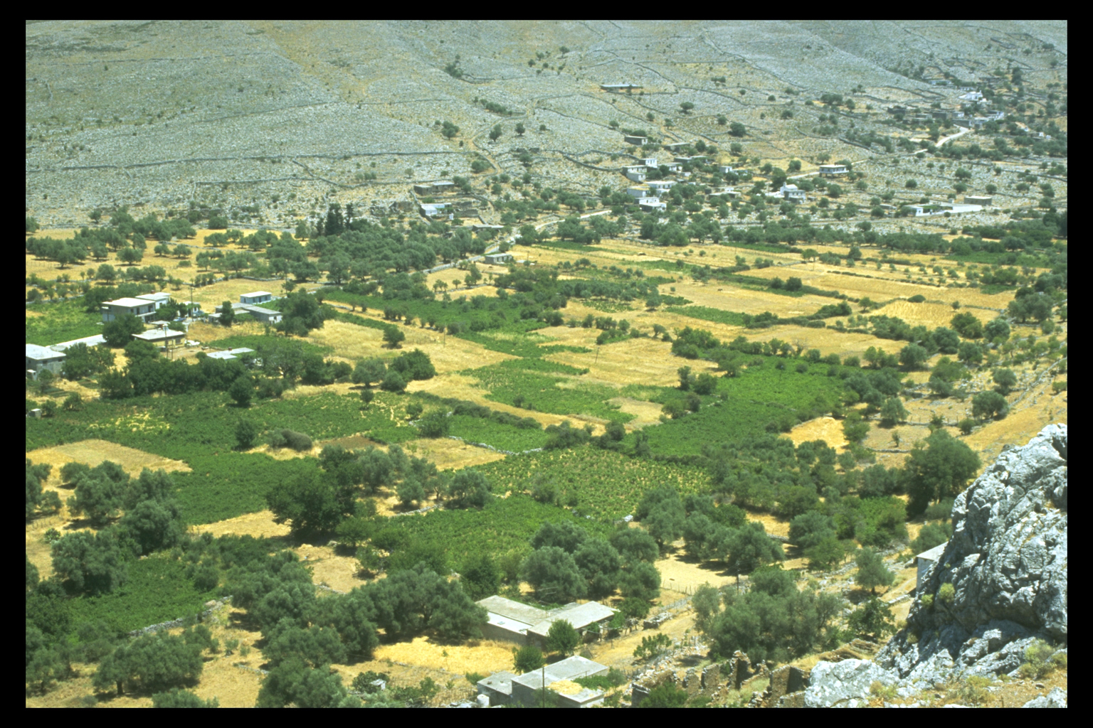
2. Lower Slopes (0 - 800 metres above sea level)
The lower slopes, along with the mountain plains, are the preferred location
for villages in Sphakia. Villages on the lower slopes are nearly always
nucleated. The surrounding areas were traditionally used for terrace-cultivation
(grain, pulses), and olive-growing. Good examples of lower slope villages
are Kolokasia, now deserted, and Komitadhes, both in Region 8.
10
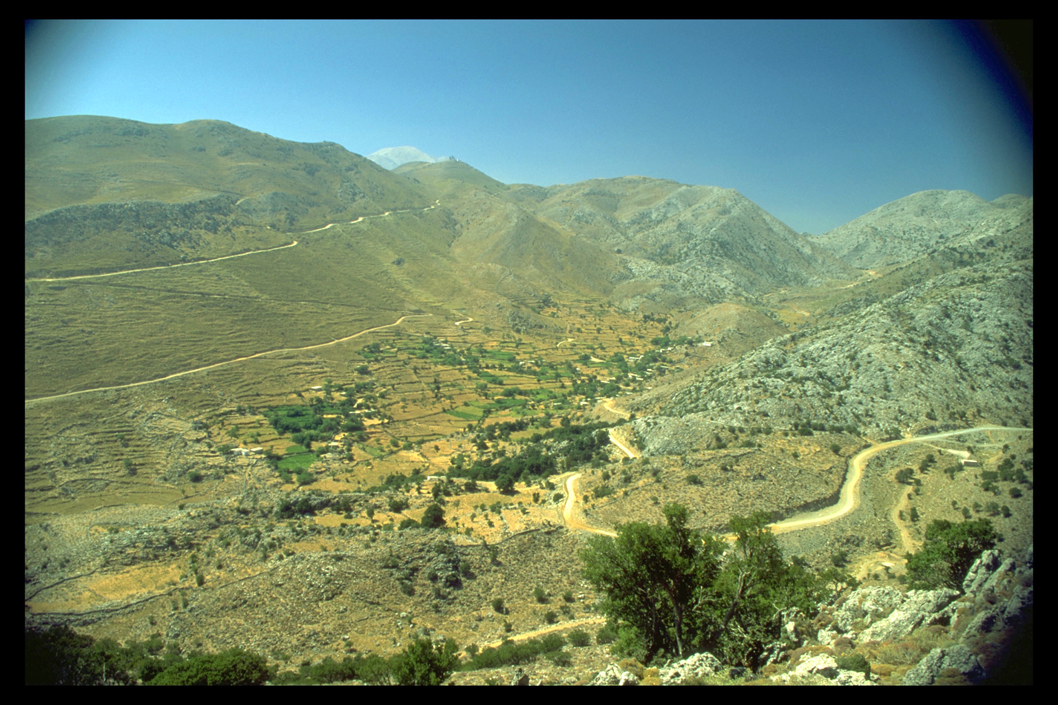
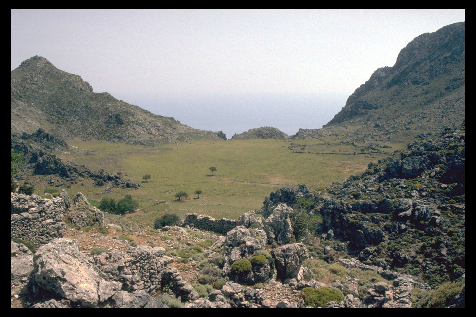
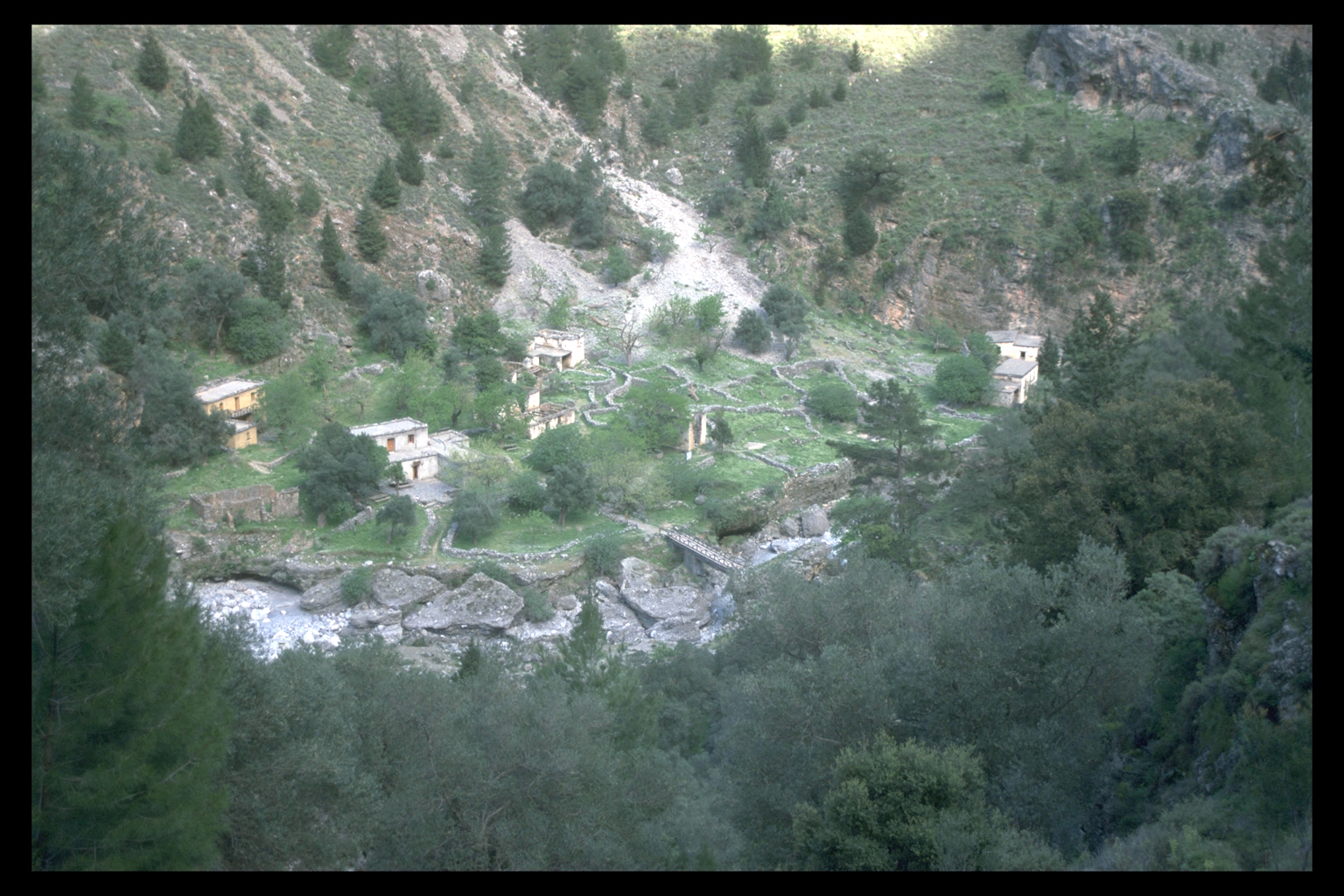
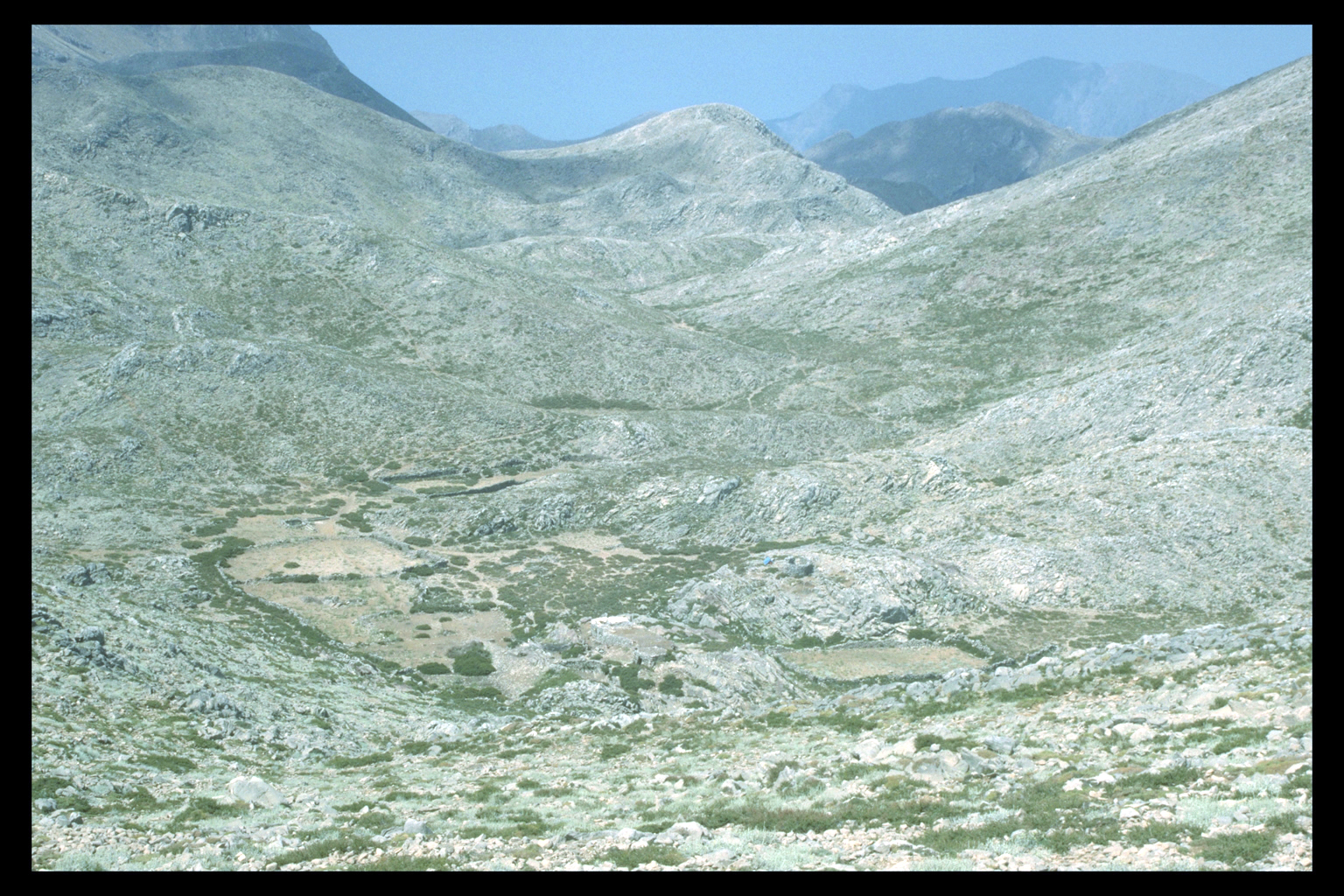
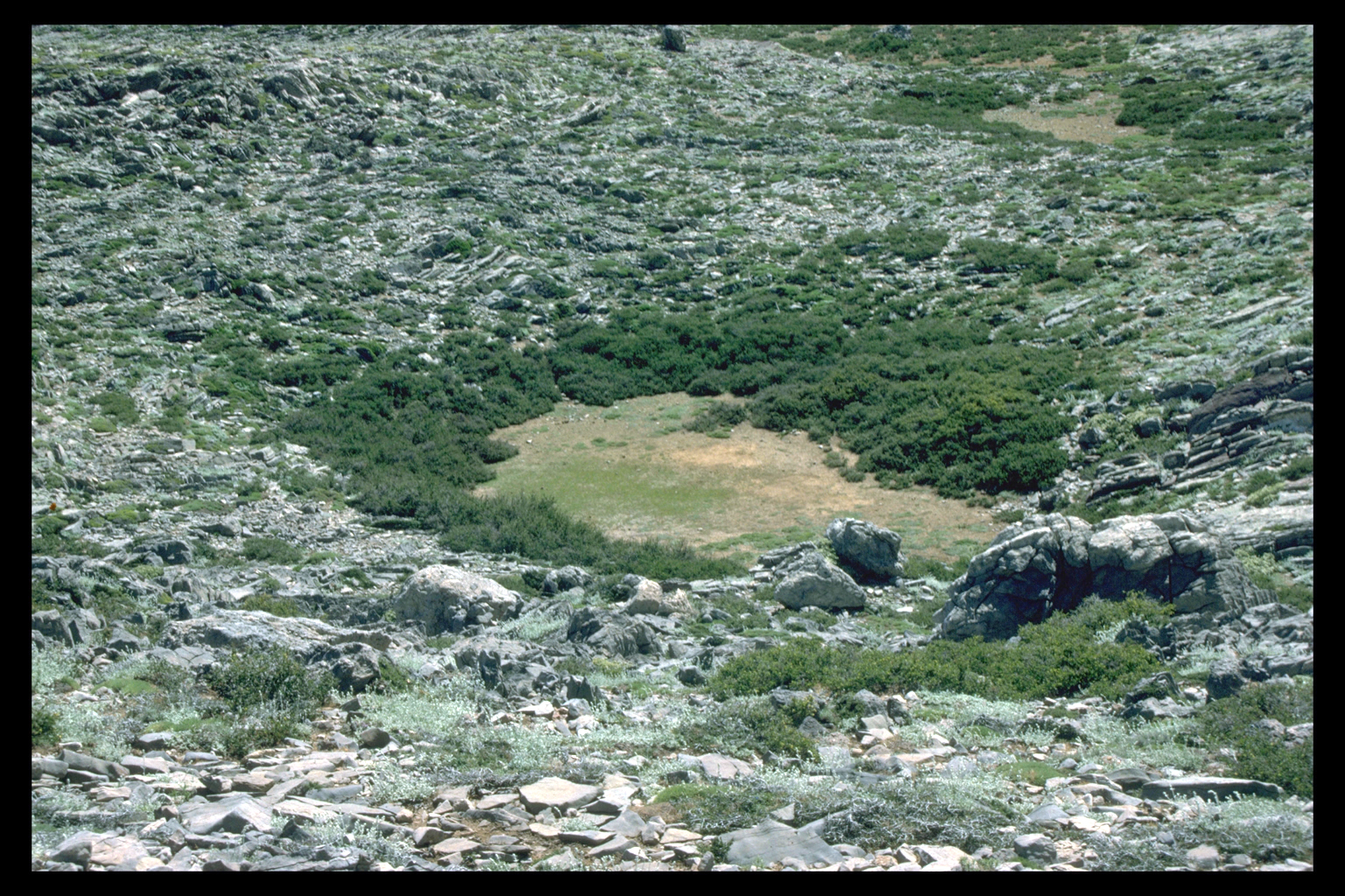
3. Basins and Mountain Plains
The mountain plains (Greek: oropedhia) -- areas of flat, cultivable alluvial
fill, in depressions high in the mountains -- are a special feature of
Crete. The three major examples in Sphakia (Anopoli, Askyphou, and Asphendou)
lie at roughly 700 masl. All three, and at least four more at slightly
higher altitudes, have settlements and cultivation. Some mountain plains,
such as Anopoli and Askyphou, were used year-round; others, such as Asphendou
and Kallikrati were used only in summer. In all cases, settlement in mountain
plains is non-nucleated, consisting of several separate neighbourhoods
(Greek: geitonies) around the edge of the plain, or on other rocky areas.
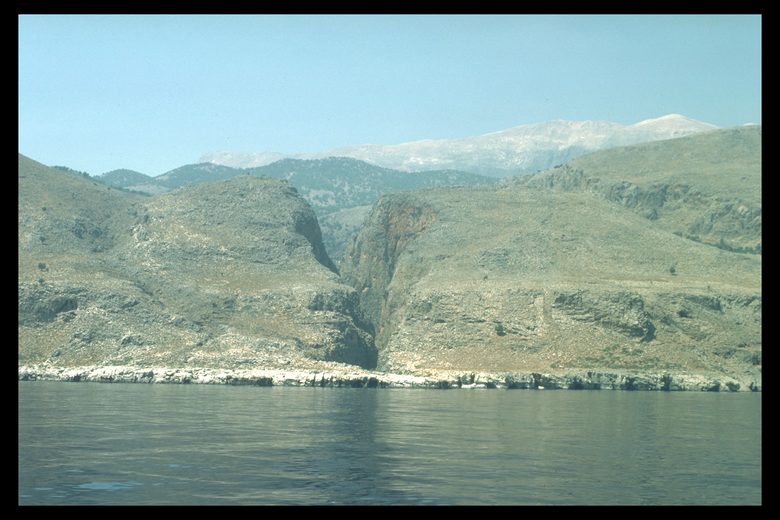
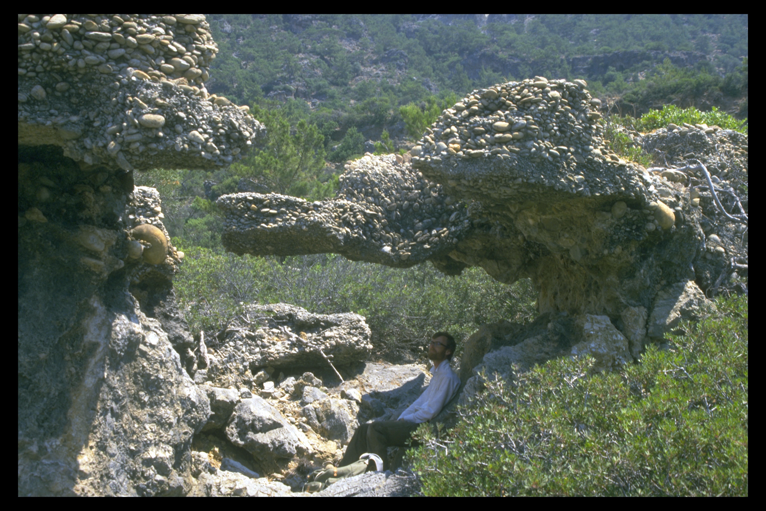
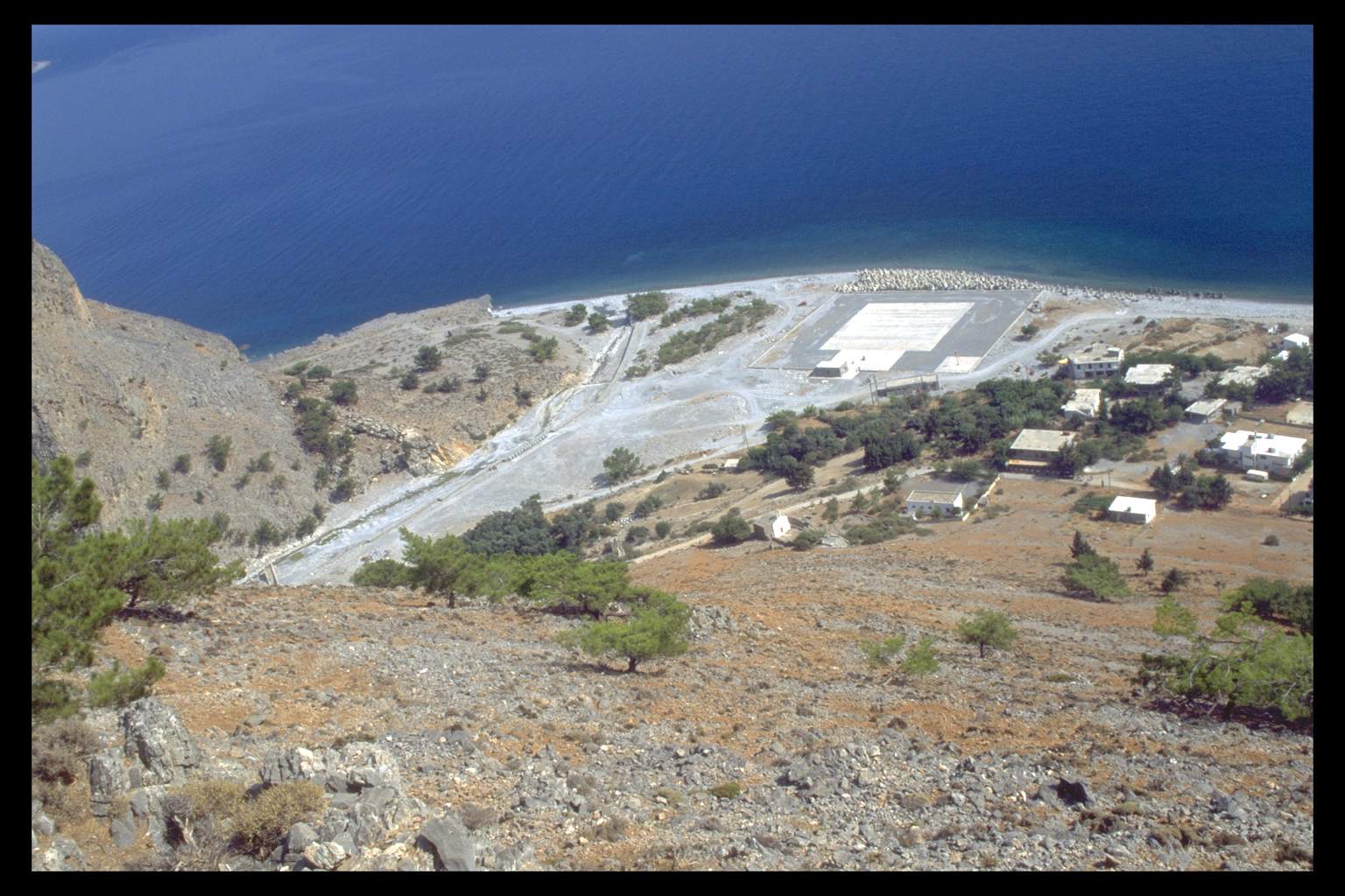
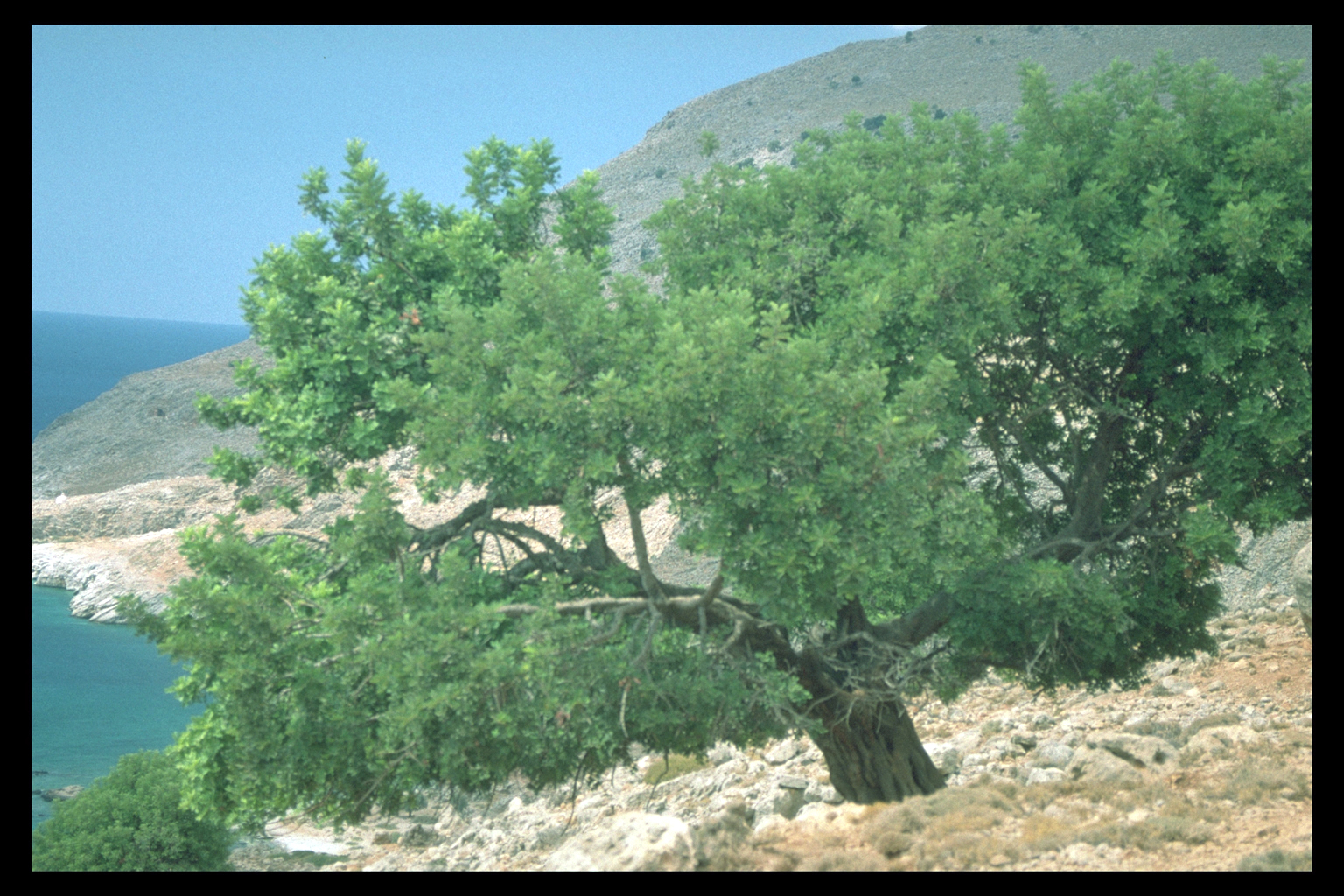
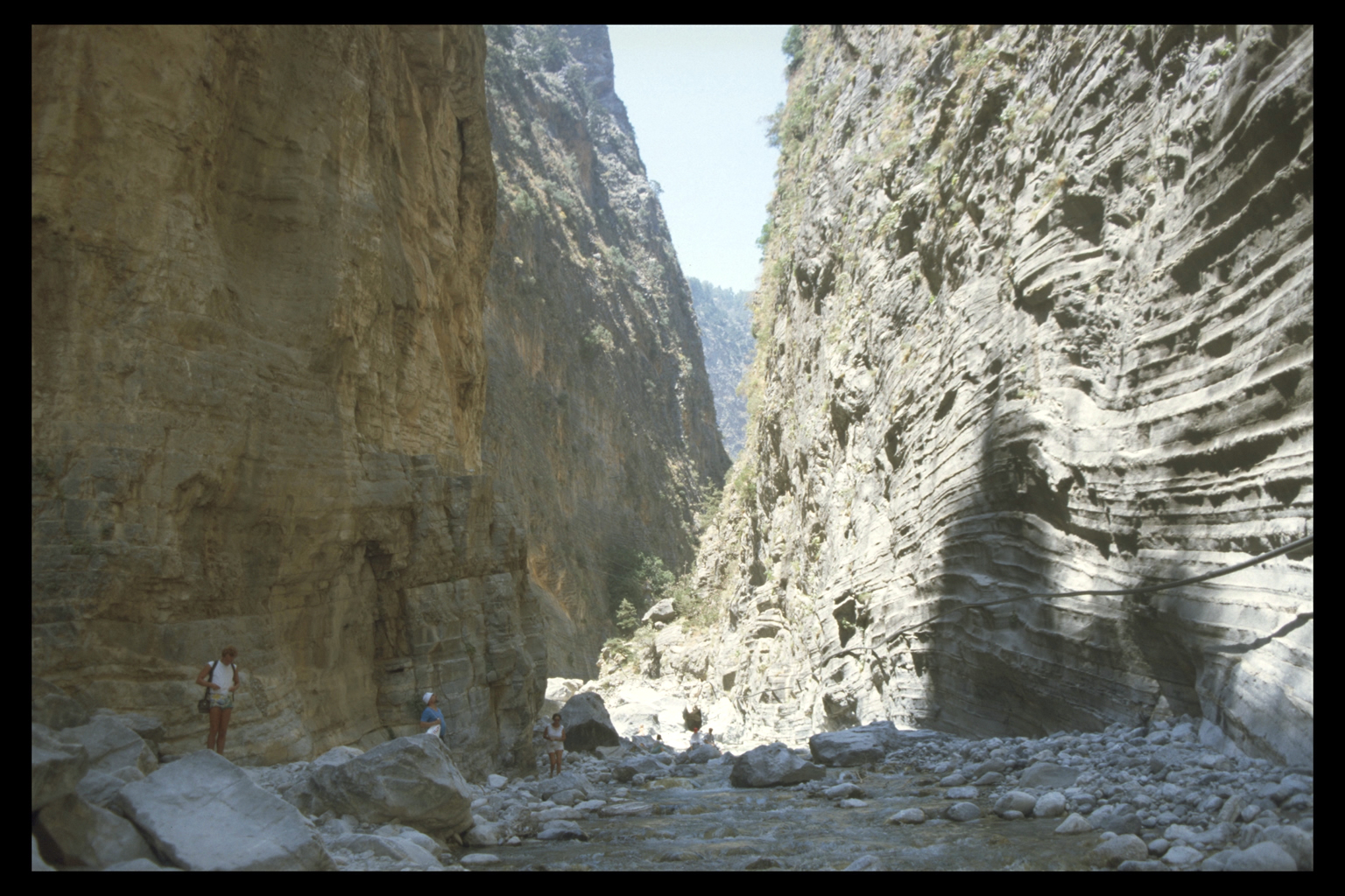
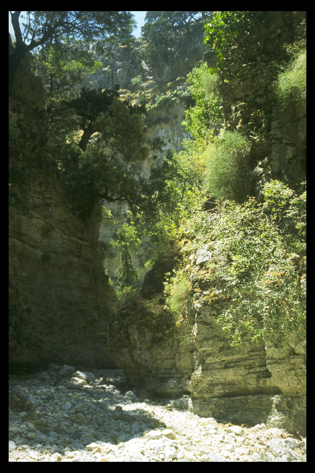
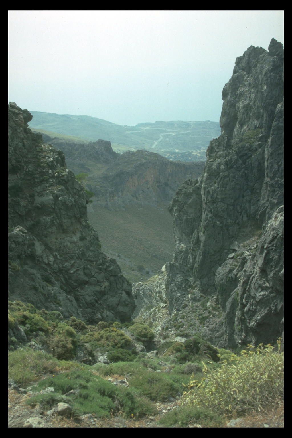
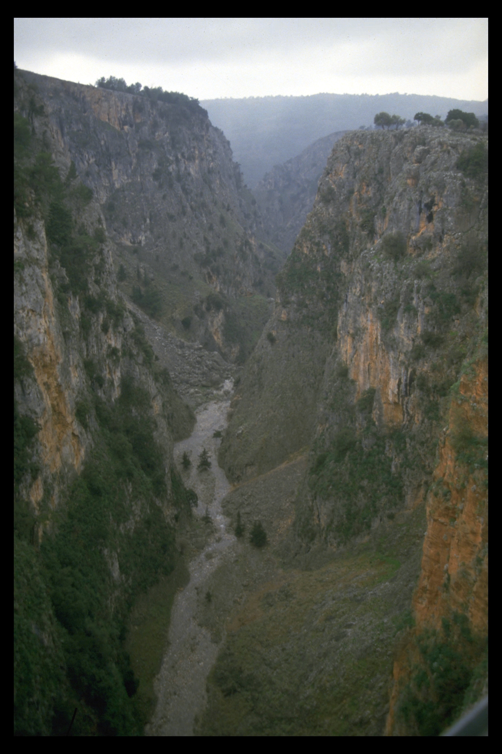
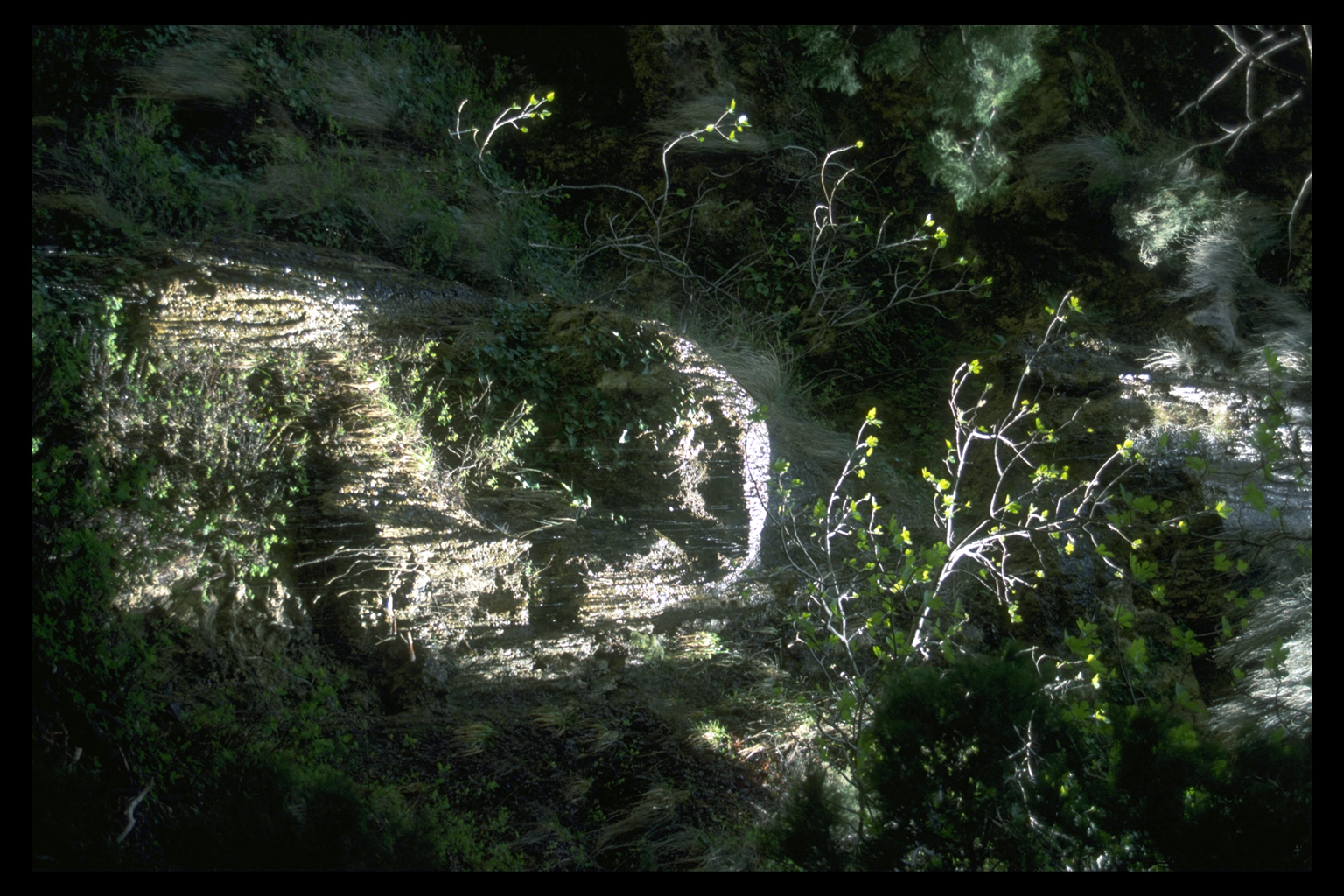
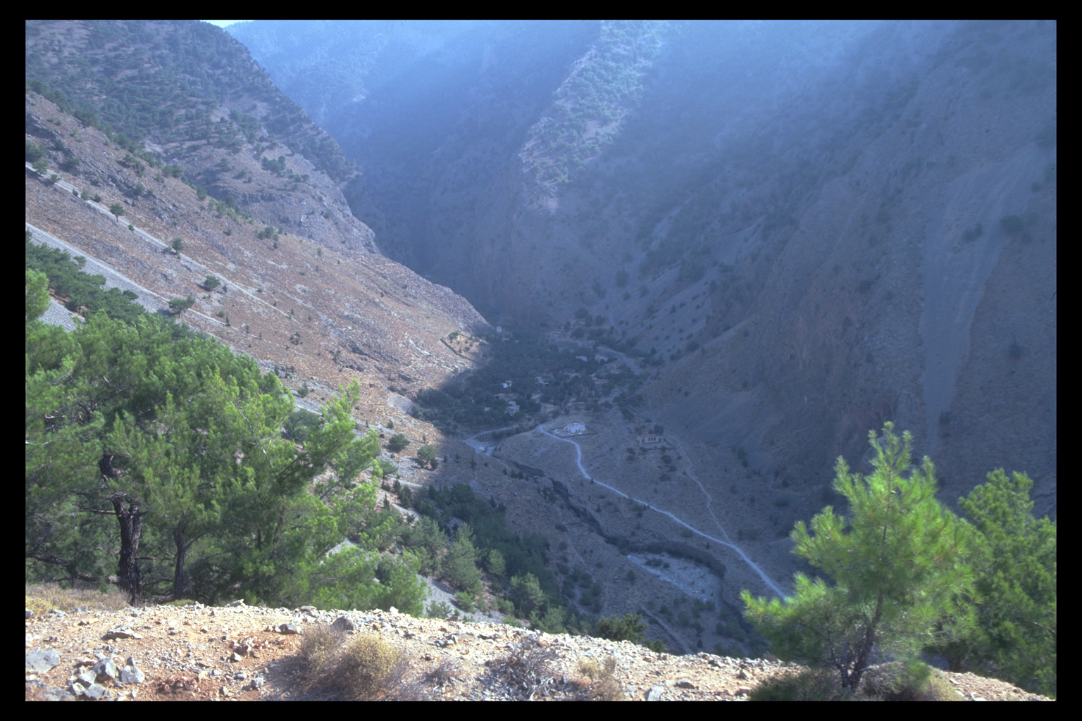
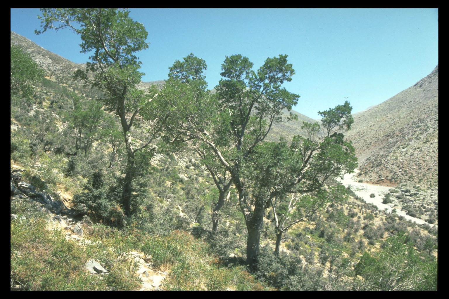
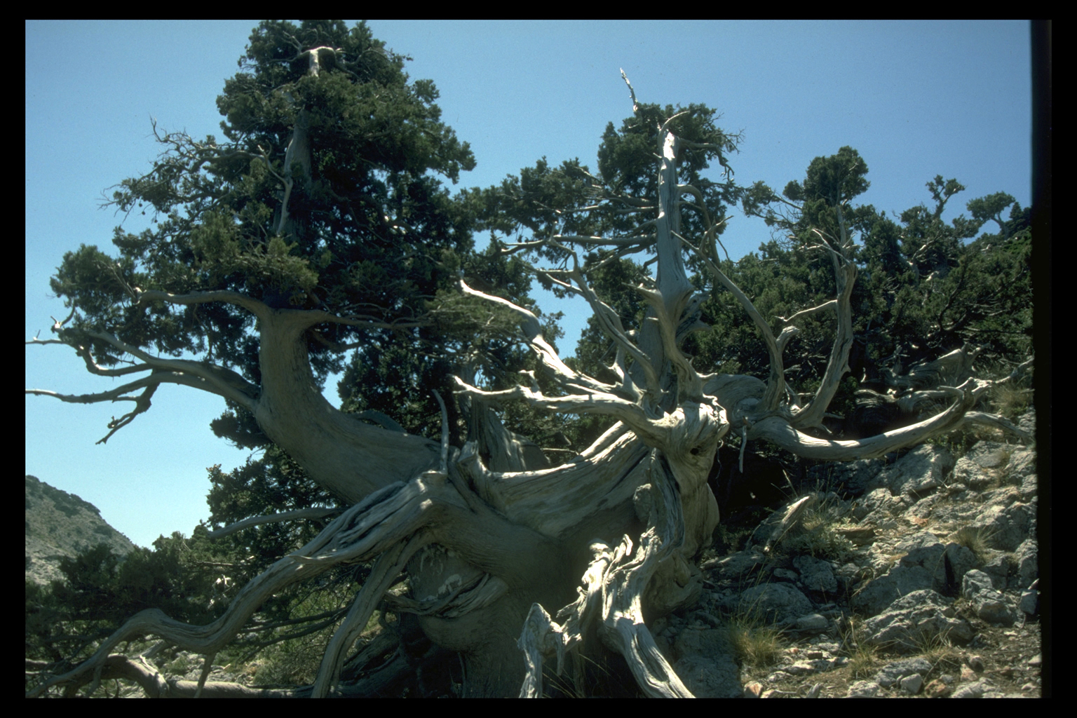
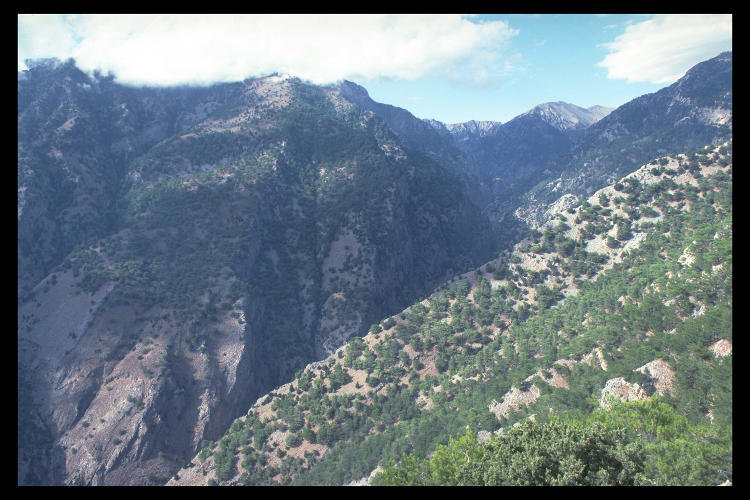
4. Gorges and Cliffs
There are a dozen major gorges in Sphakia, and as many smaller ones,
mostly running roughly N-S, and opening onto the Libyan Sea. W Sphakia
is particularly rich in gorges, two of which once had villages: the Trypiti
Gorge; and Sphakia's largest, the Samaria Gorge. The Samaria Gorge and
its surrounding area have been famous for its tall cypress trees since
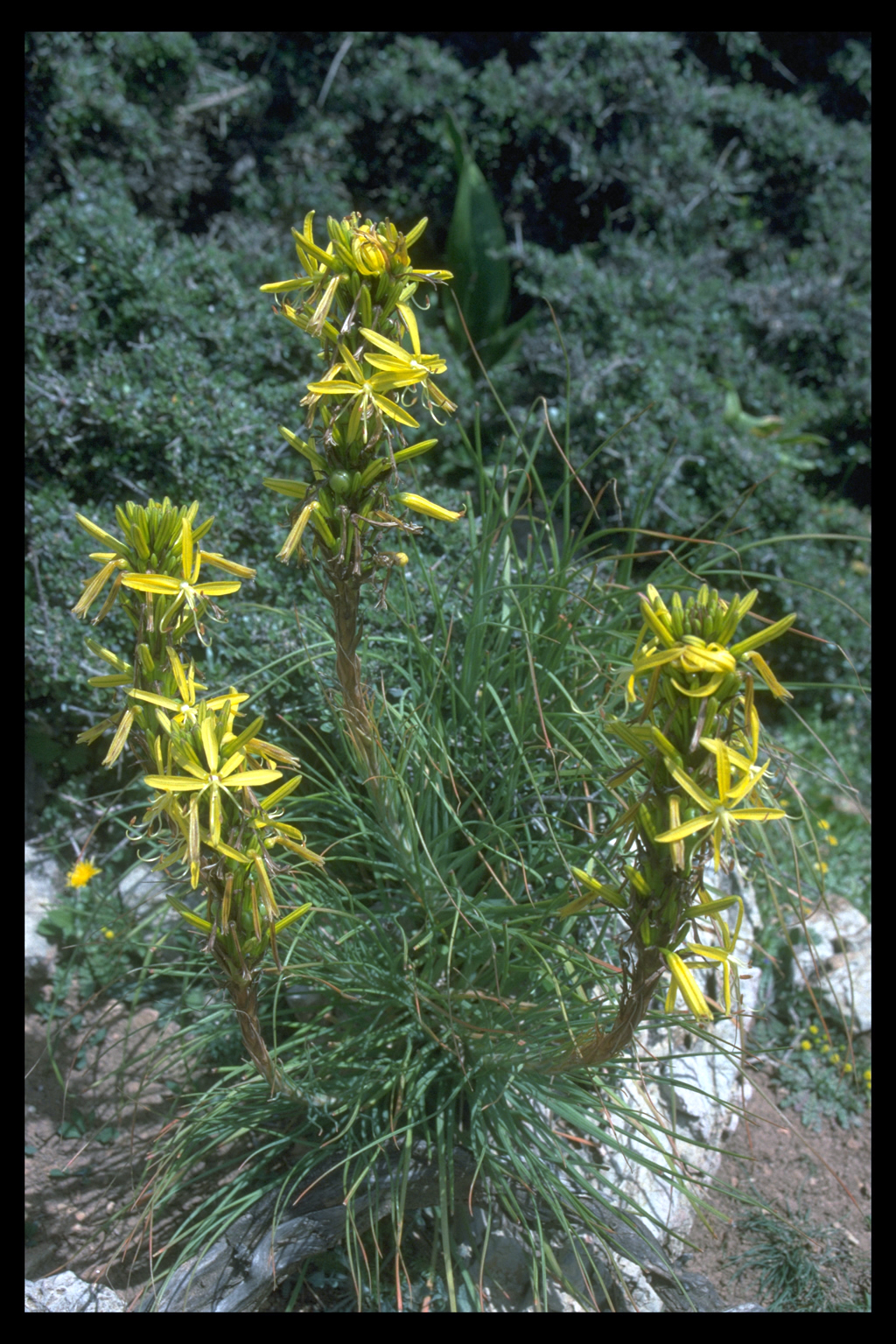
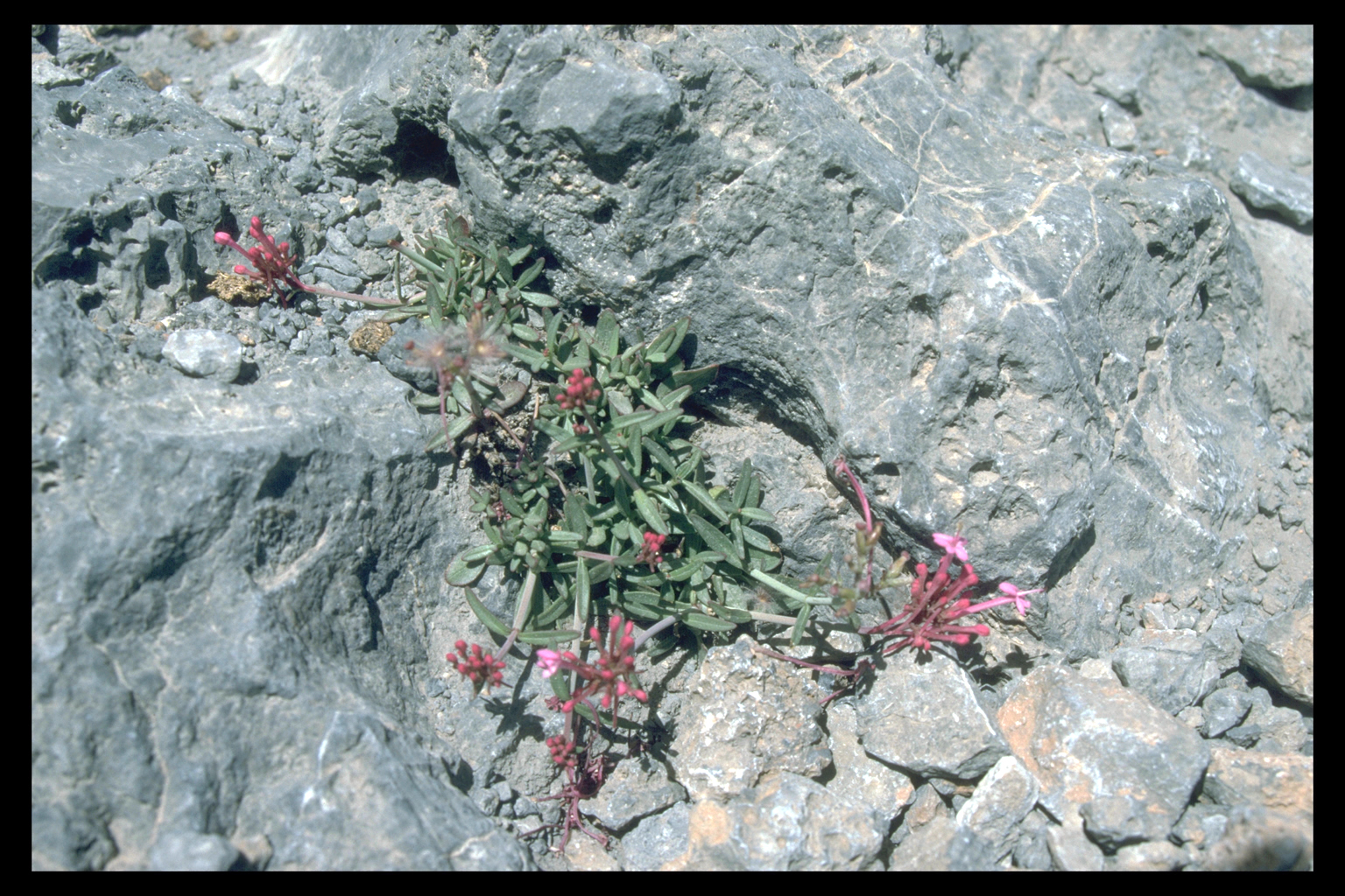
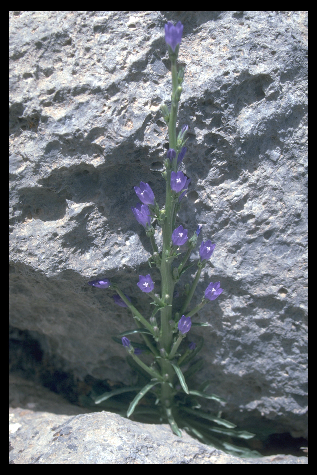
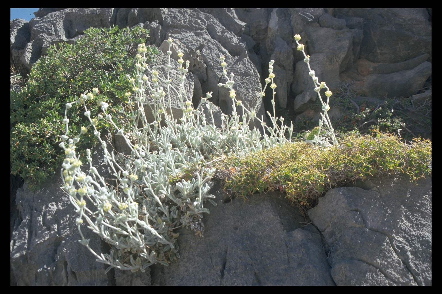
antiquity. Endemic plants often develop in gorge environments (Samaria,
Imbros). The gorge bed of the Imbros Gorge was the gateway to Sphakia
for centuries.
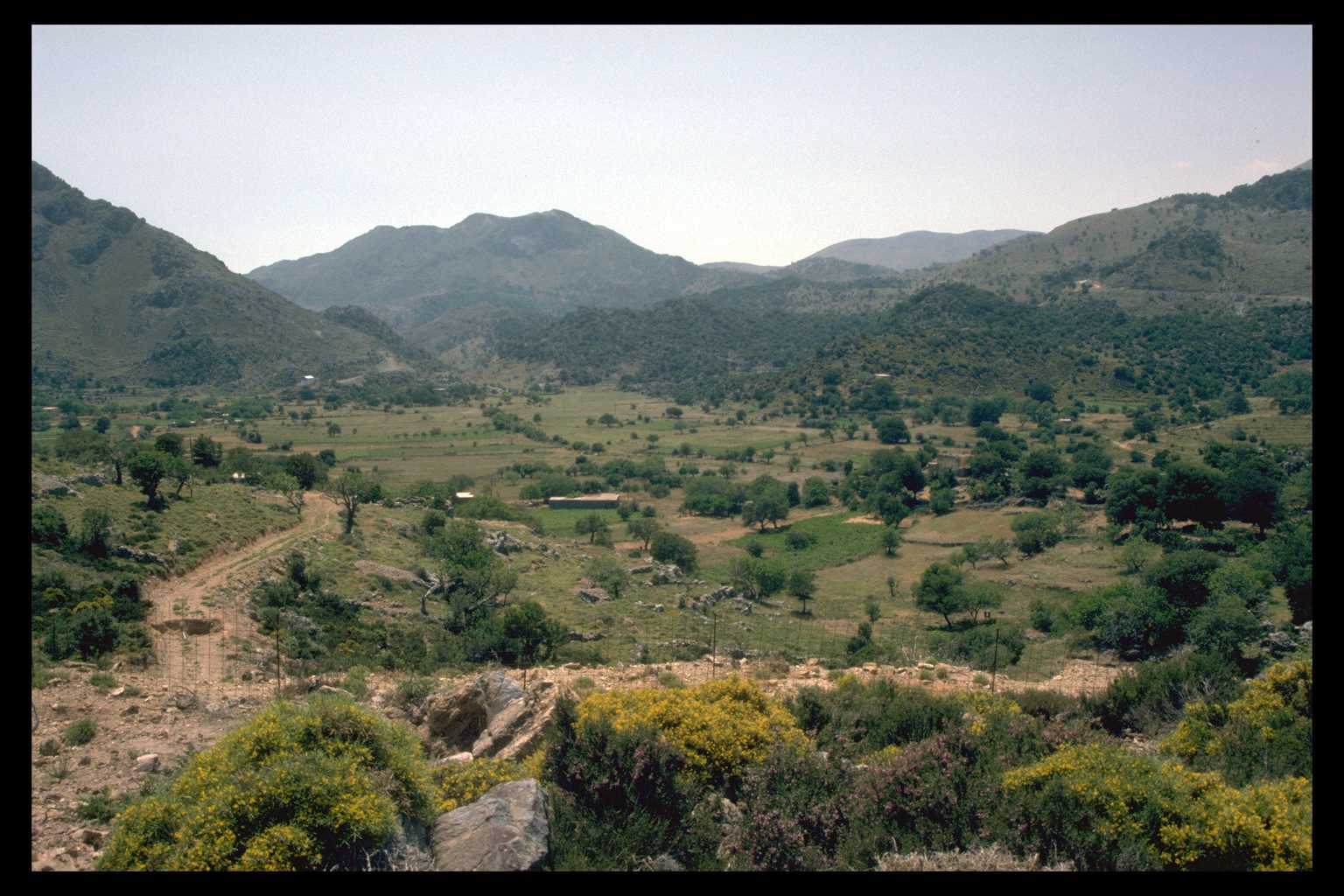
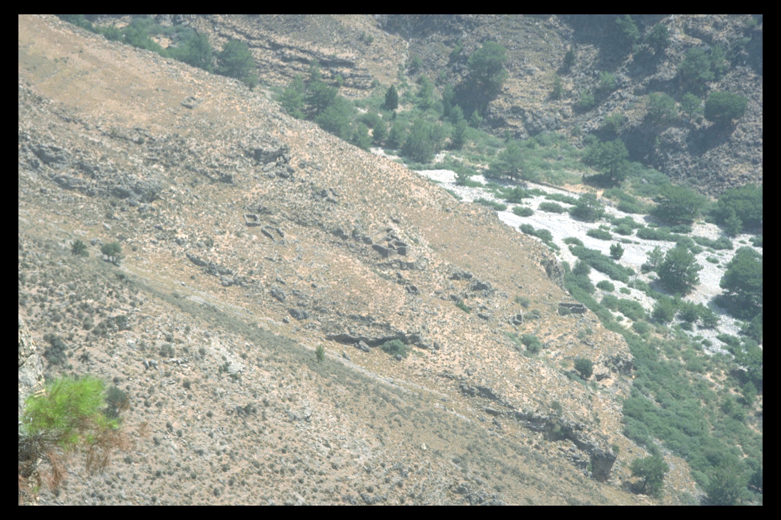
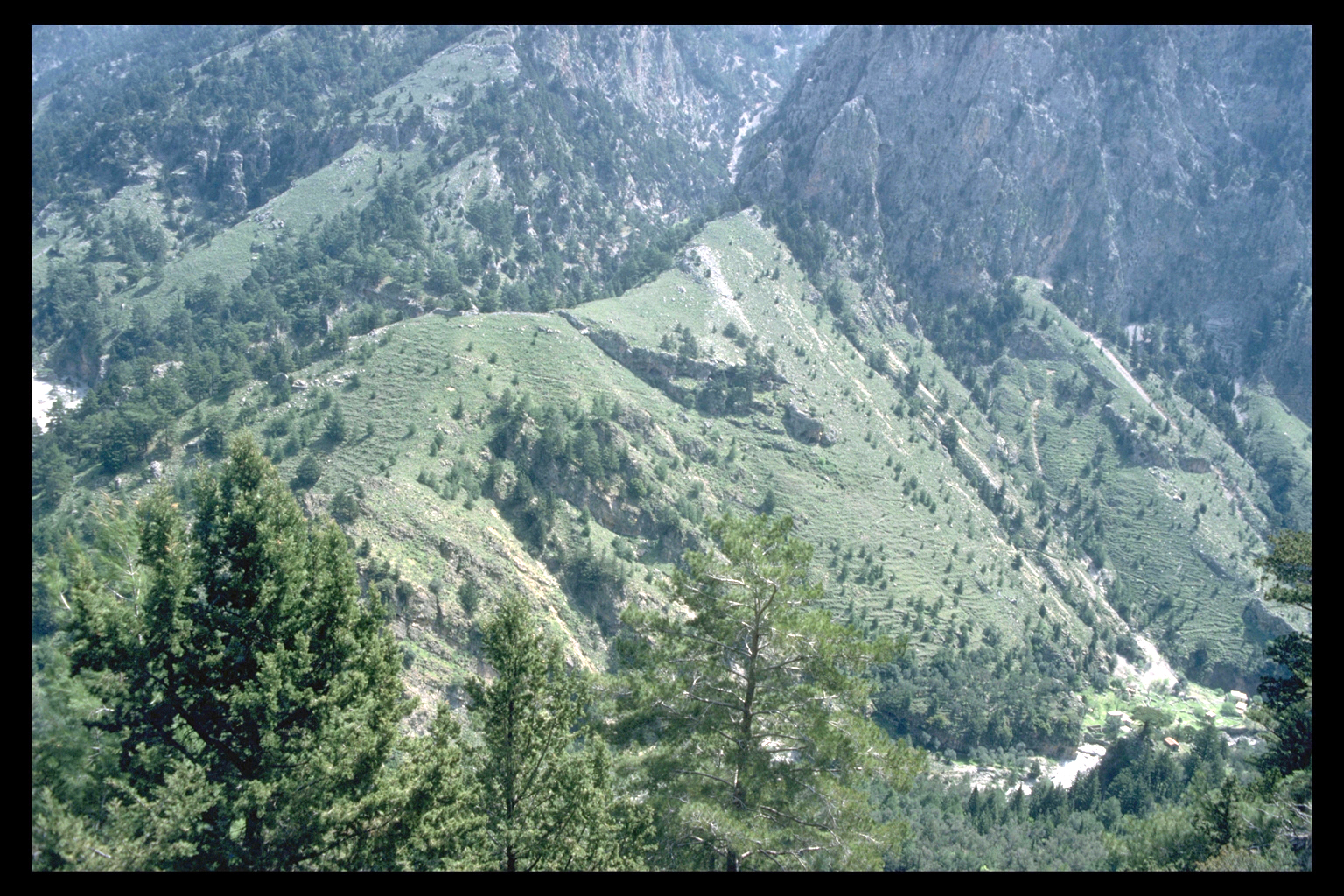
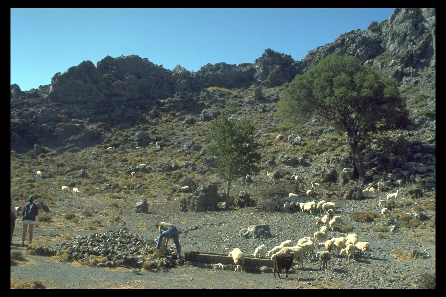
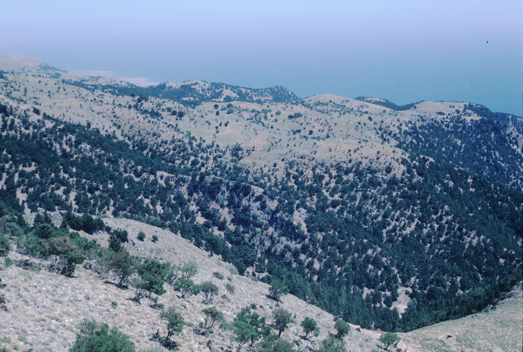
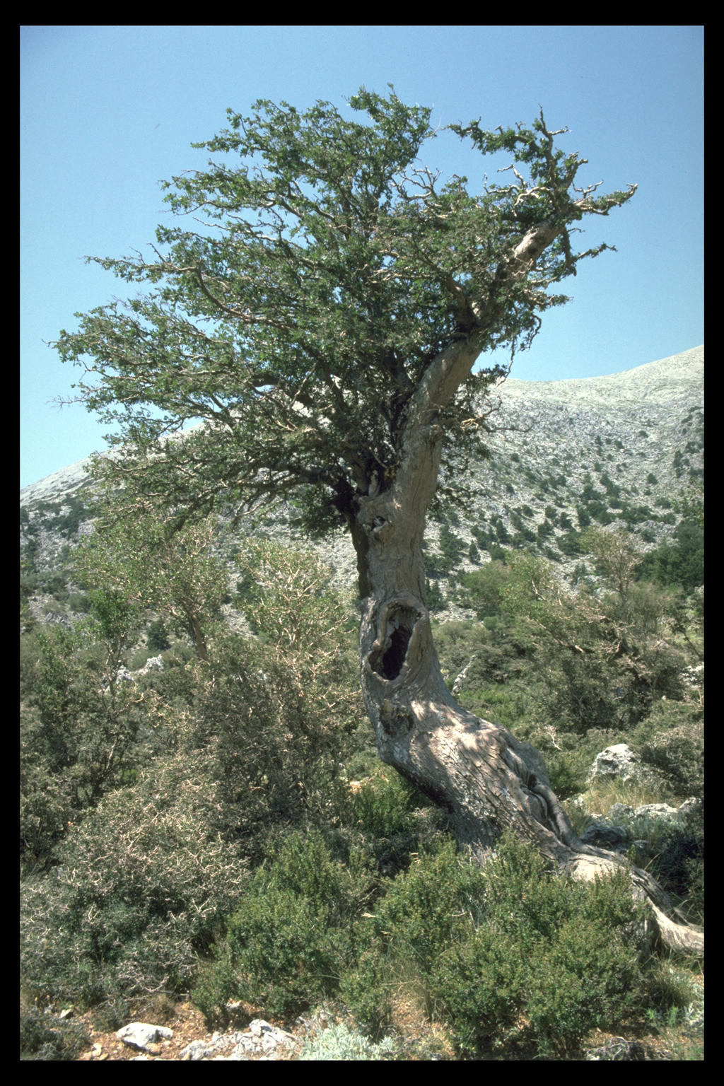
5. Middle Slopes (800 - 1200 metres above sea level)
The middle slopes are less arid than the lower slopes, with relatively
little soil, supporting scattered trees. These slopes were often cultivated
in the past, but are now used either as woodland, or pasture for sheep.
Along one ridge in Region 6 were once three small villages or neighbourhoods,
now deserted (Mouri Ridge from W, with settlements at Koutsoura, Mouri,
Kavros). Endemic plant species growing in this zone include the extremely
rare elm-like Zelkova cretica (Greek: ambelitsia, still used for making
shepherds' crooks).
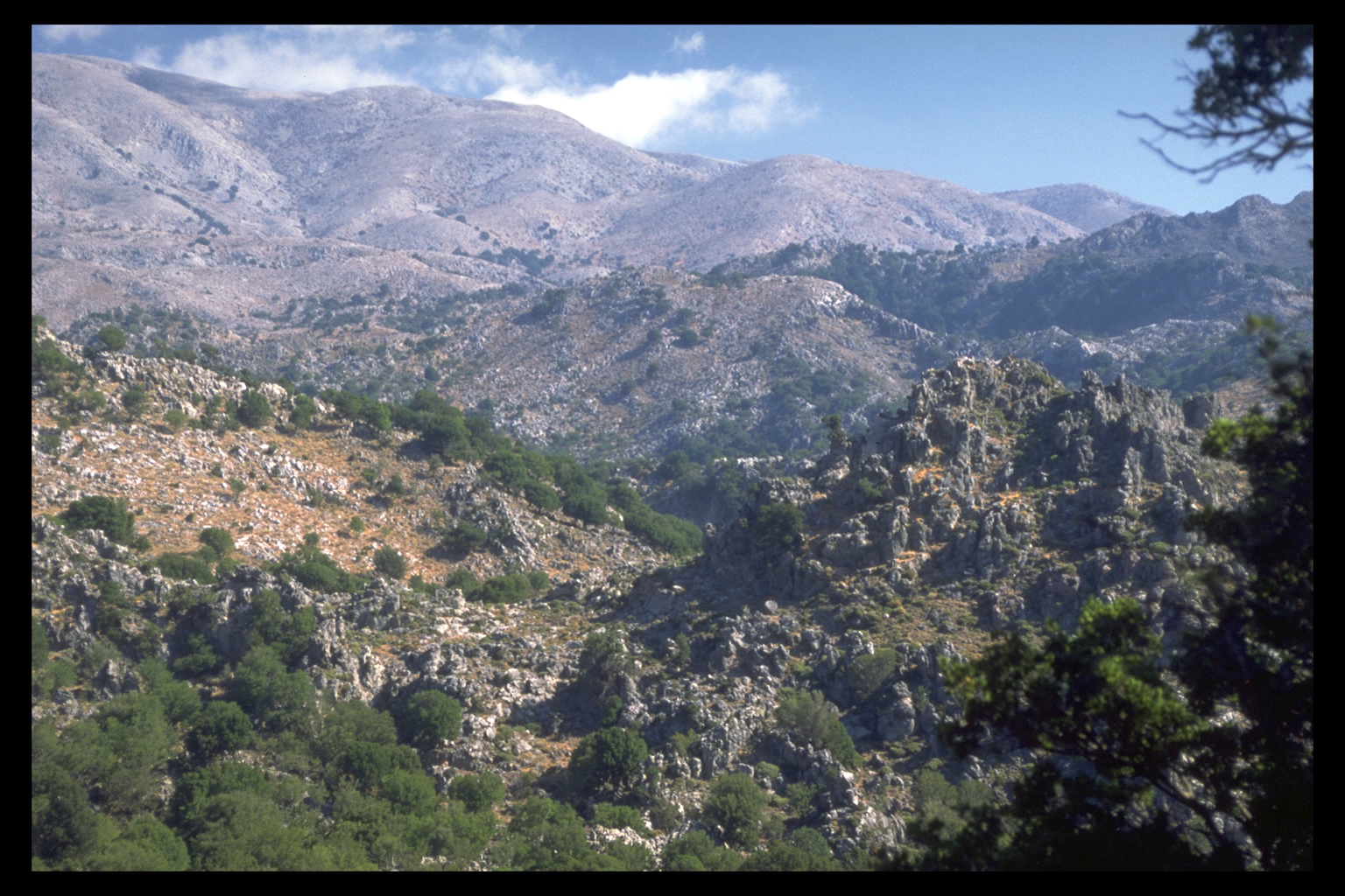
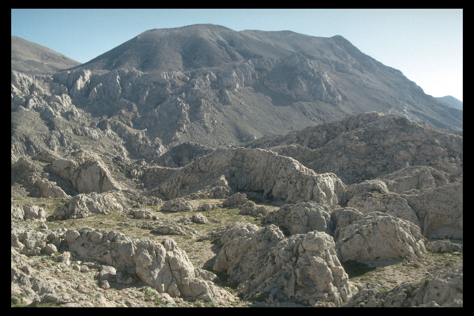
6. Upper Slopes (1200 - 1700)
The
upper slopes are now mainly woodland (often grazed) and show little sign
of ever having been anything else. The trees at this altitude include
cypresses and maples. Few trees grow much higher than this in Sphakia.
Two different kinds of limestone weather differently: rugged platy limestone
in W Sphakia; karst funnels in E Sphakia.
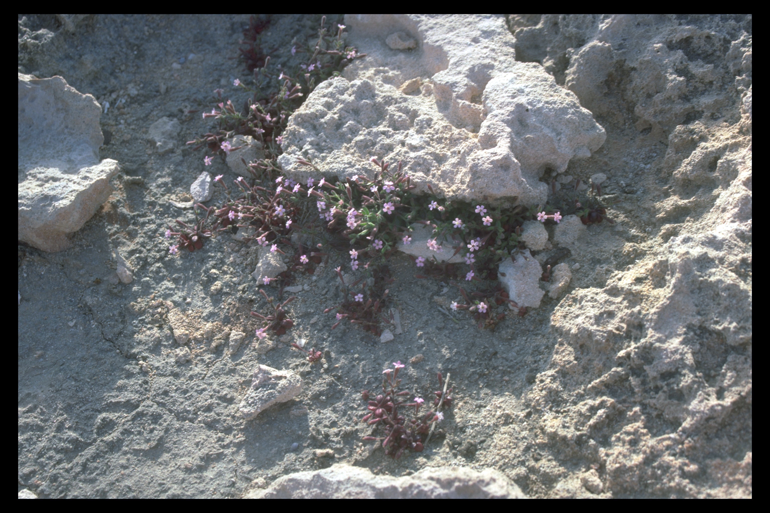
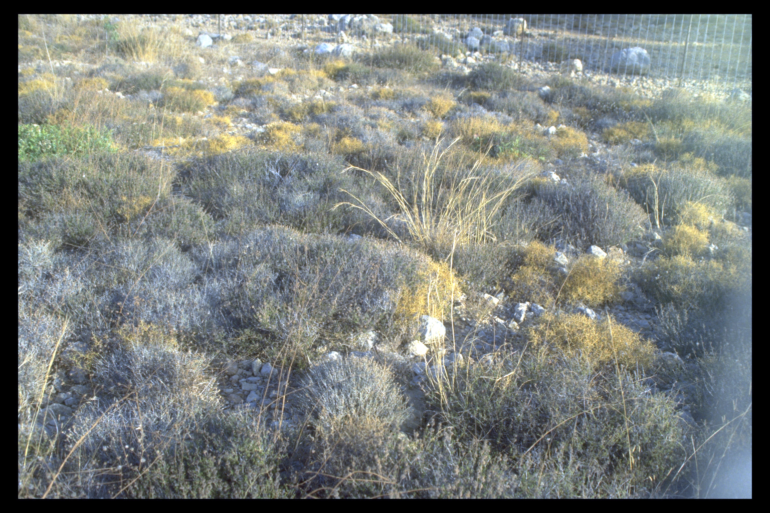
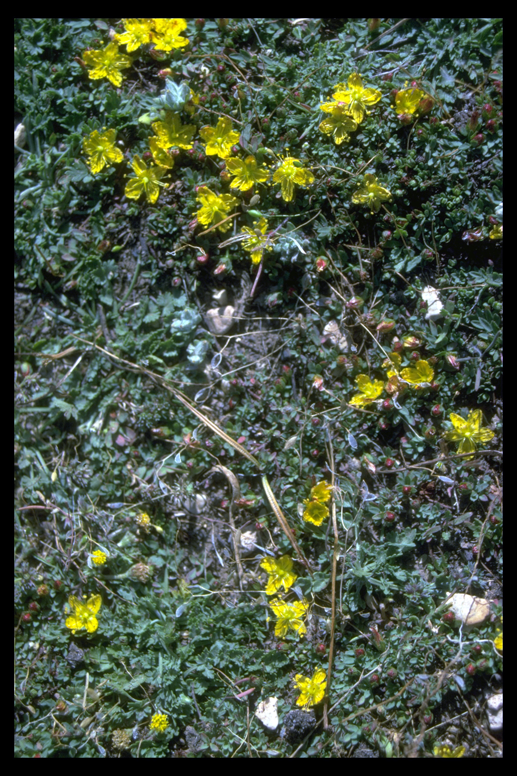
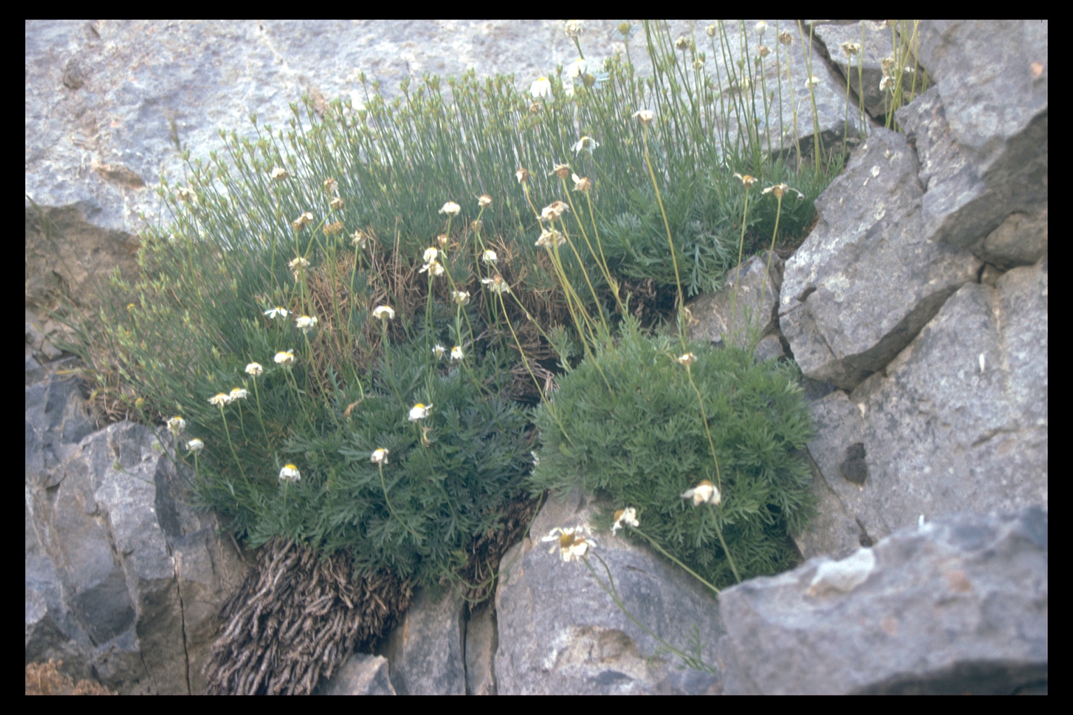
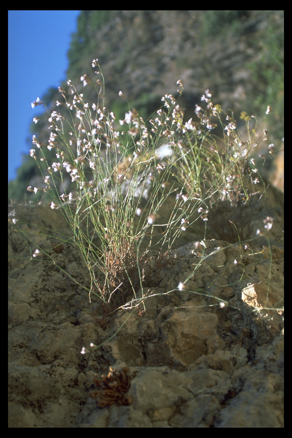
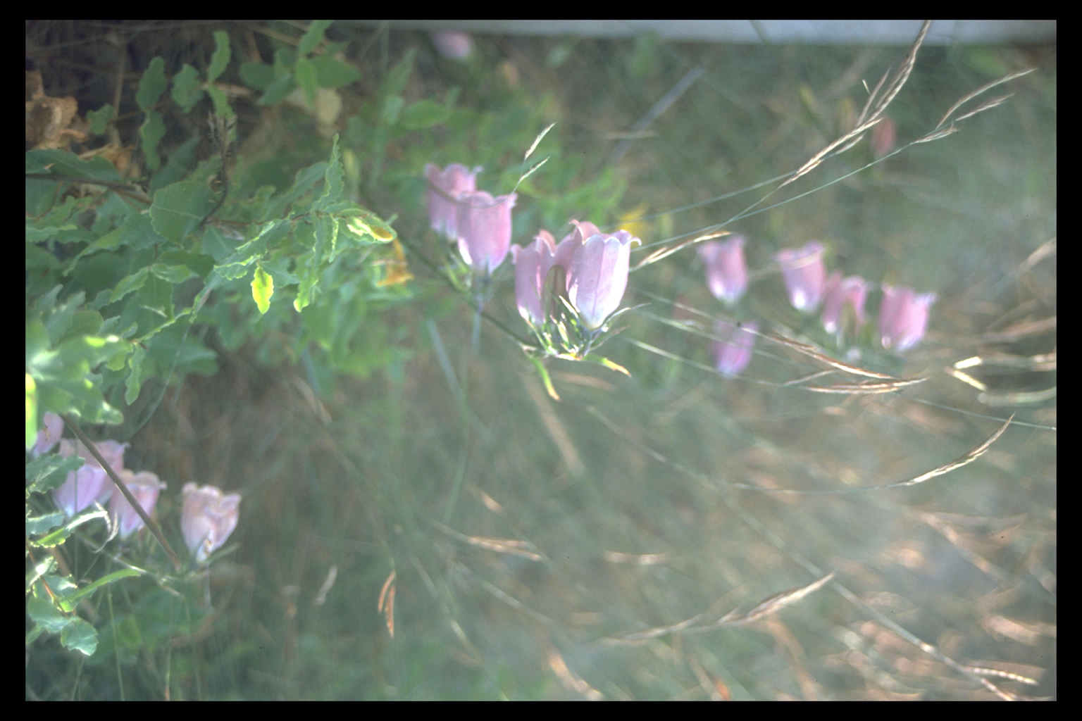
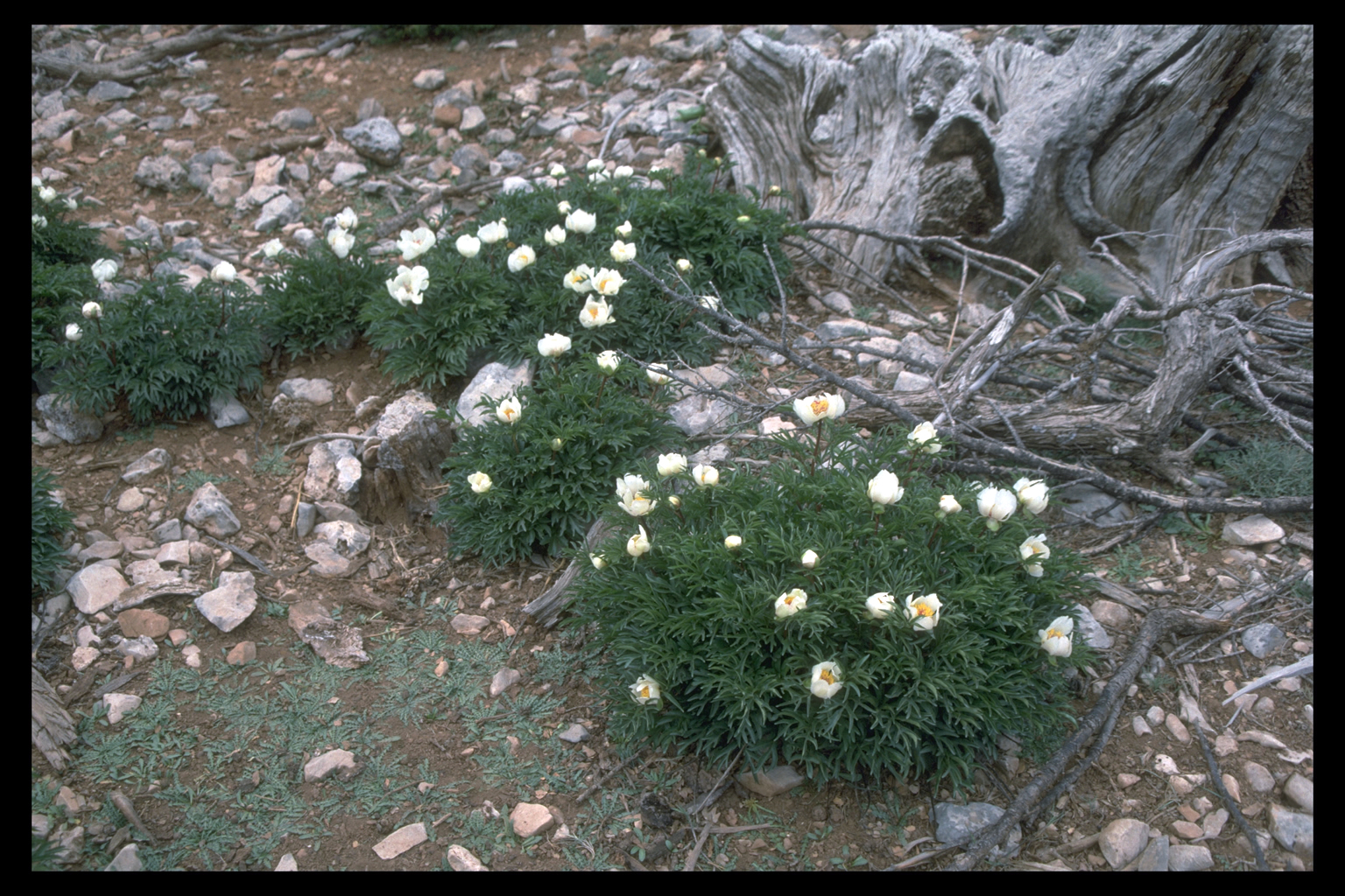
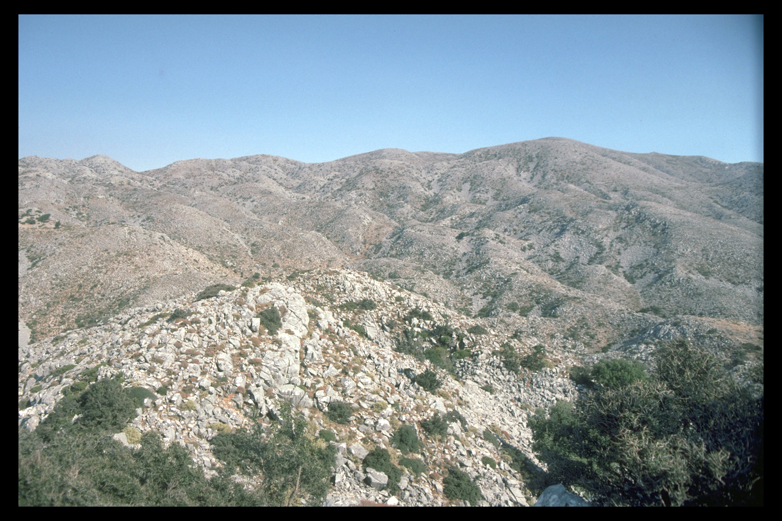
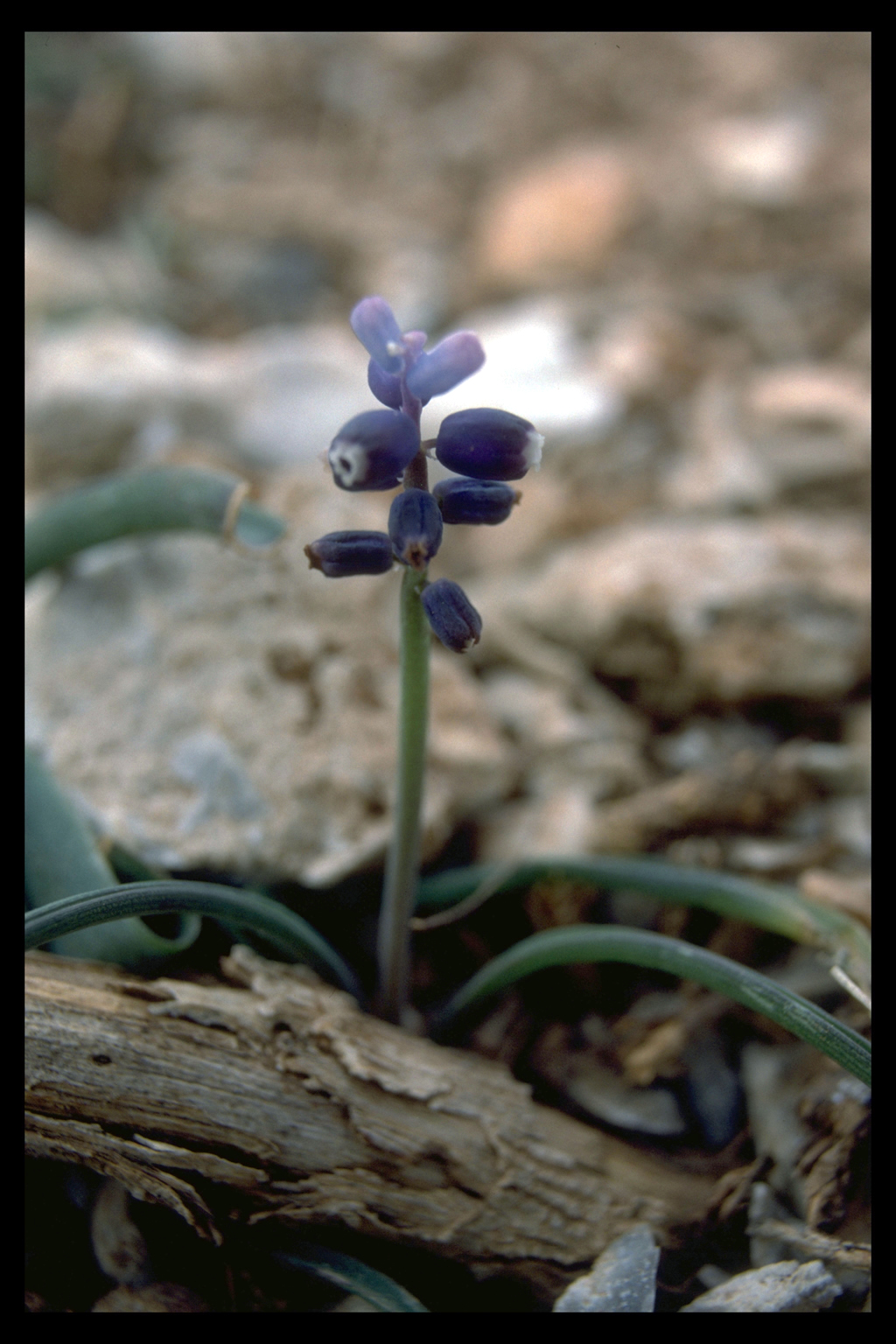
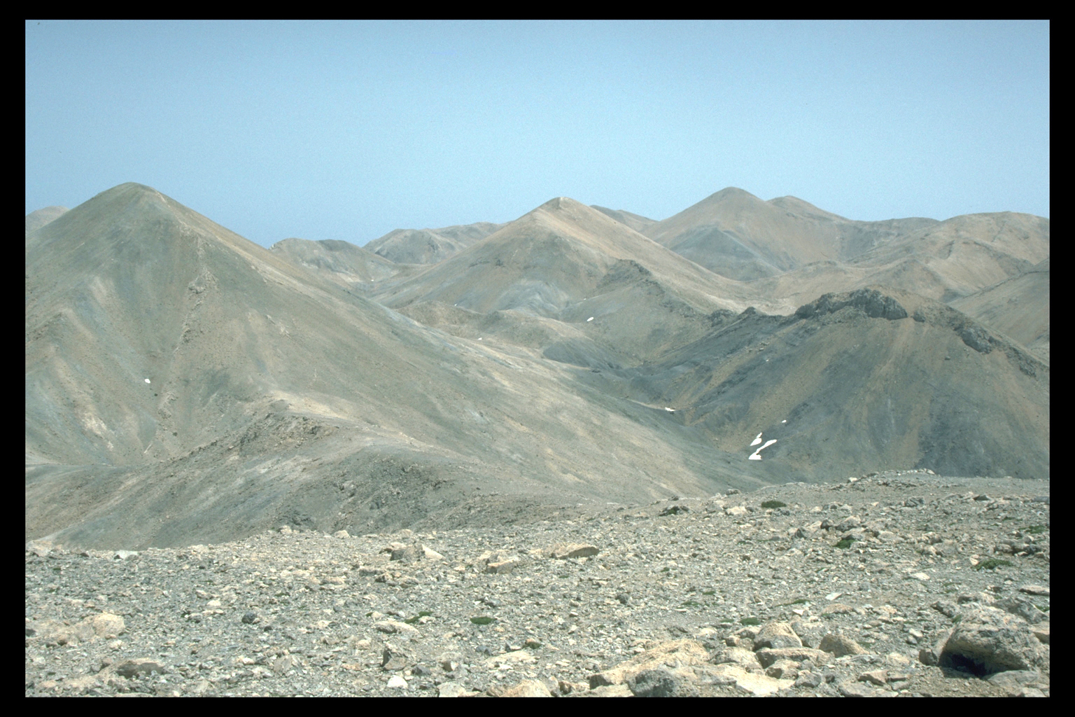
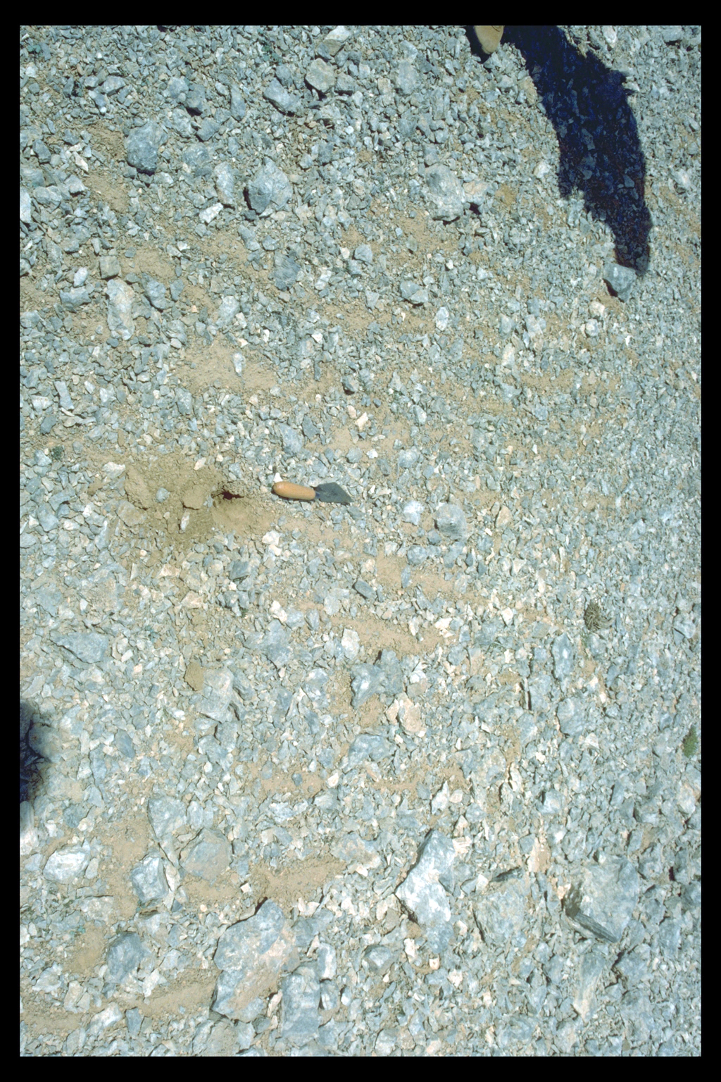
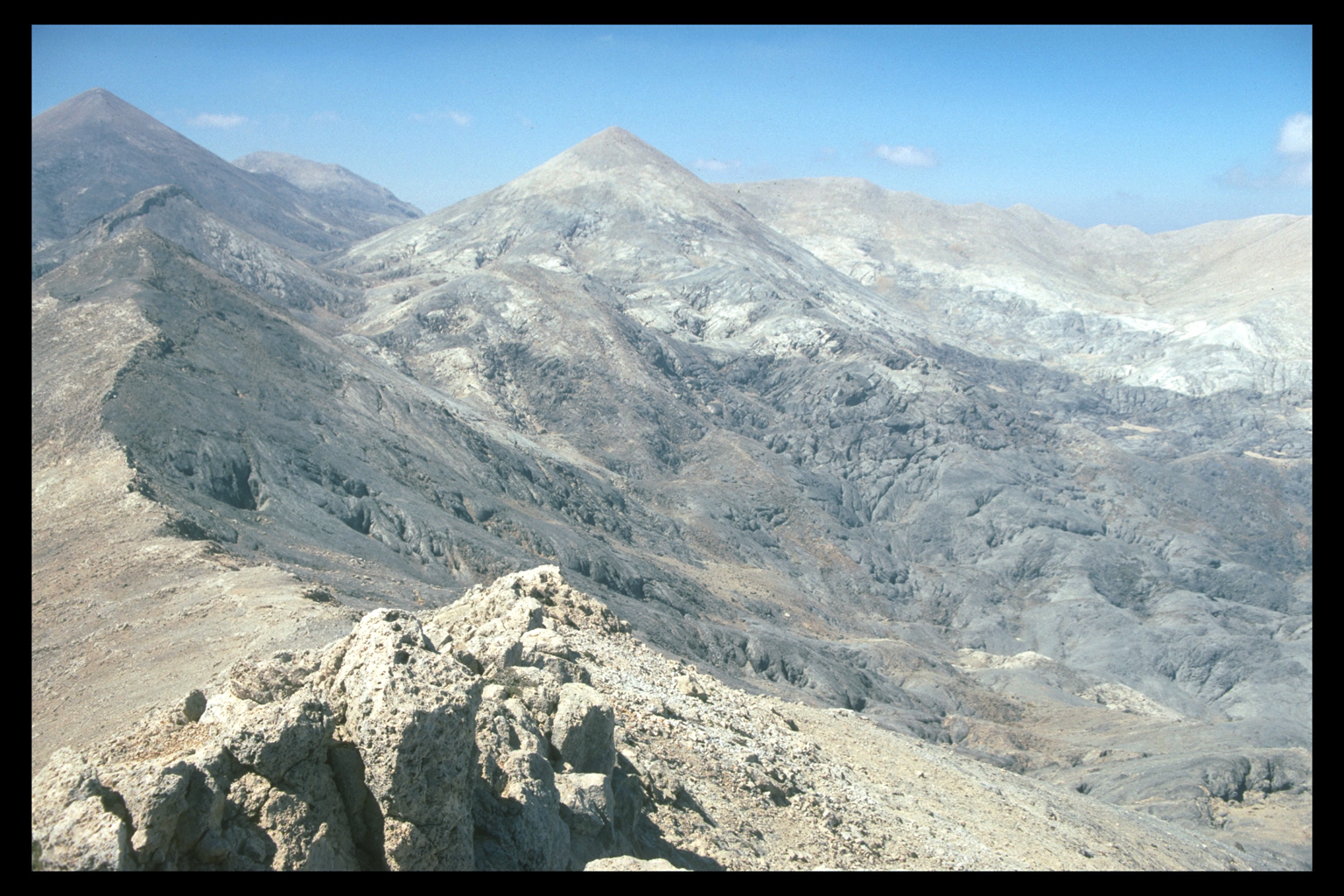
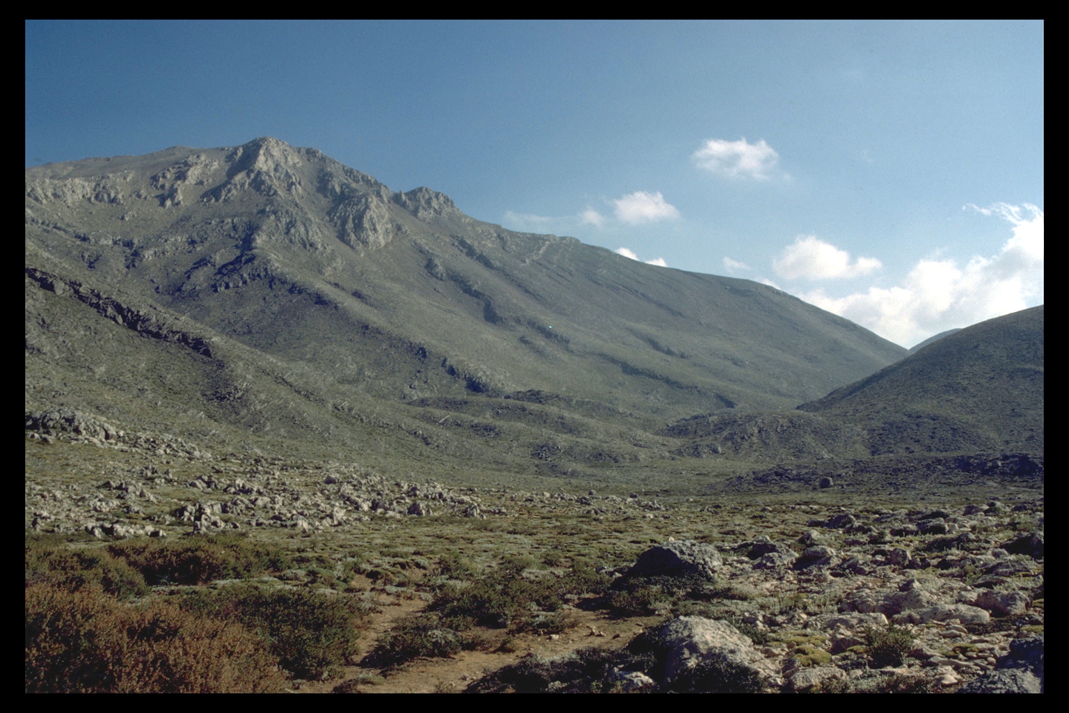
7. Mountain Desert
The Mountain Desert of the high White Mountains is an astonishing landscape
of conical hard limestone hills covered in scree, tower karst, and fissured
black limestone. Much of it is over 2000 masl. In some areas, periglacial
activity continues. The Mountain Desert has no continuous vegetation,
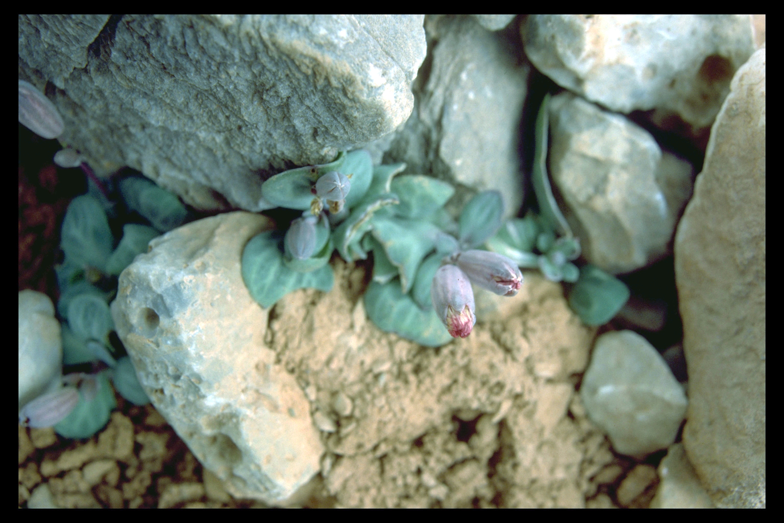
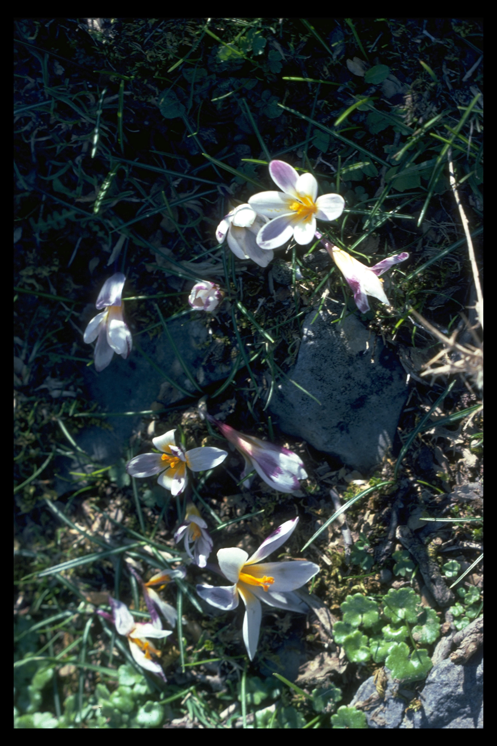
but it has nonetheless produced many endemic plants.
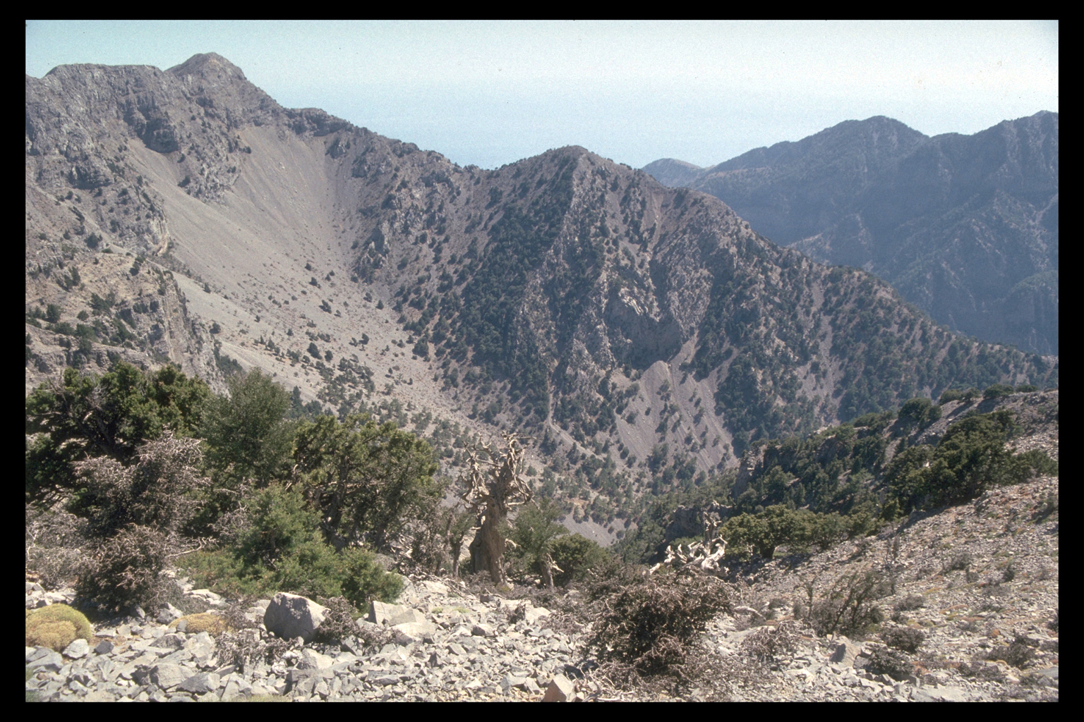
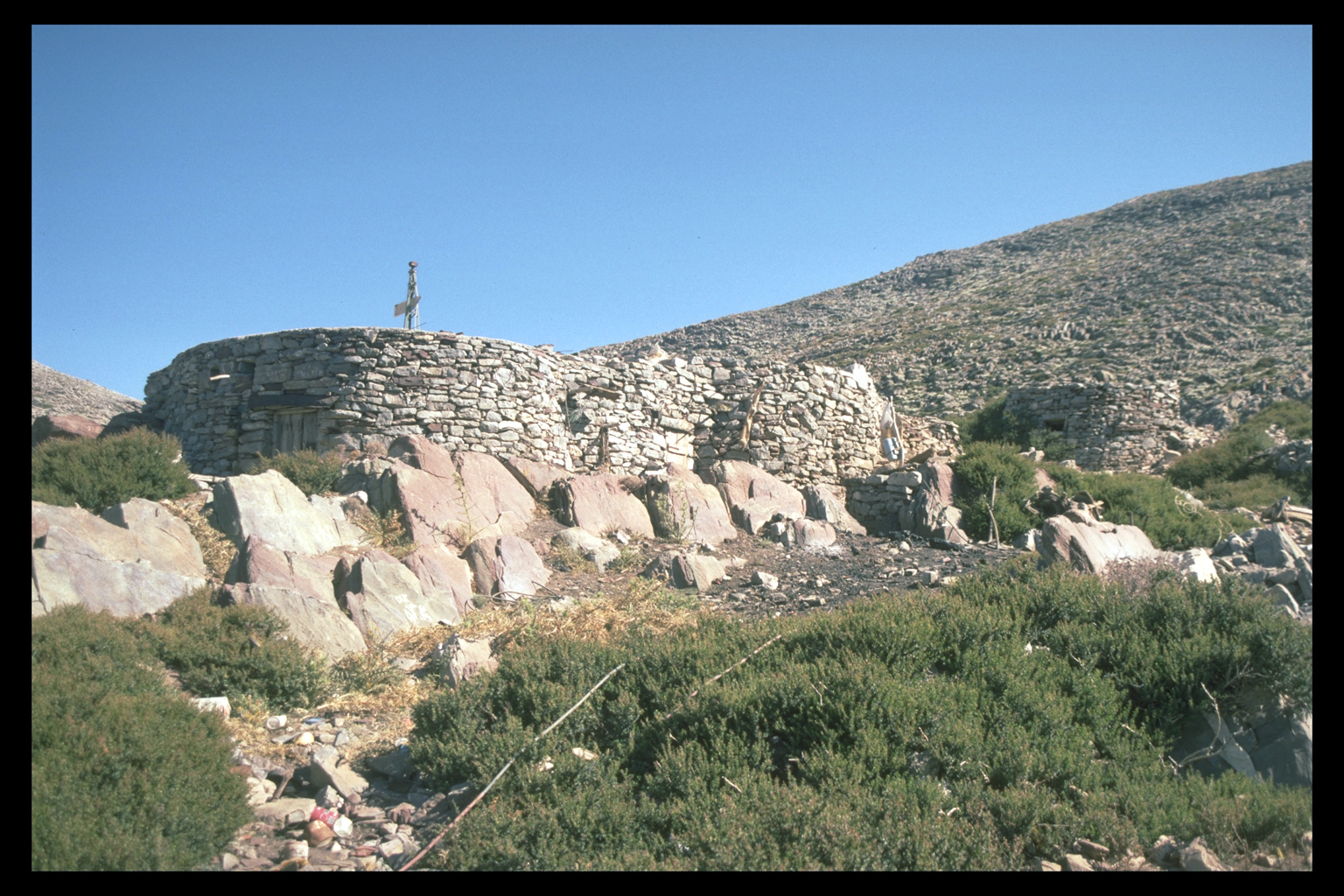
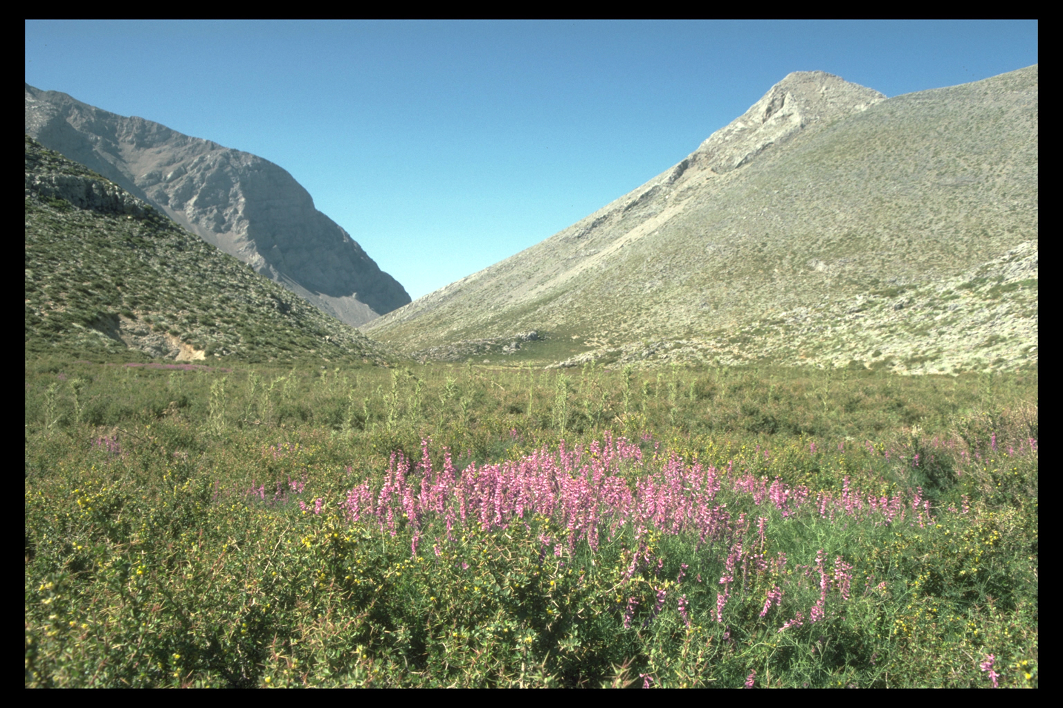
8. Madhares
The Madhares, in the northern half of the White Mountains, are lower
than the Mountain Desert (below 2000 masl), and slightly less arid, though
still too high (1700-2000 m) for tree growth. The area consists of conical
hills separated by small basins with enough soil to support continuous
vegetation; there are also water sources. The Madhares (Greek for summer
pastures) have been used for this purpose at least since the 17th c. A.D.
Some shepherds' huts (Greek: mitata) and milking pens are still used in
the summer. There was no tradition of cultivation in the Madhares, but
shepherds since World War II have successfully grown potatoes here.
|