Zones, Regions and Sites
|
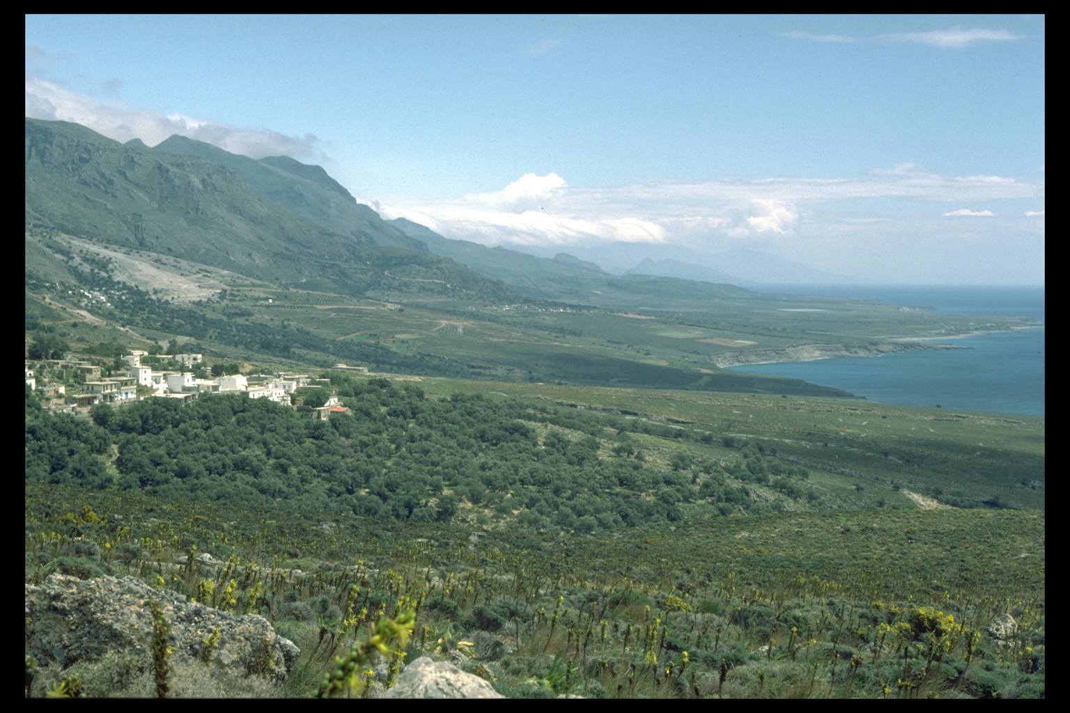
The deme,formerly eparchy (modern administrative district) of Sphakia
has a large area, 472 sq. km.
We decided that it would be appropriate to discuss Sphakia in smaller
units, so we divided it into eight regions, from west to east. They
are:
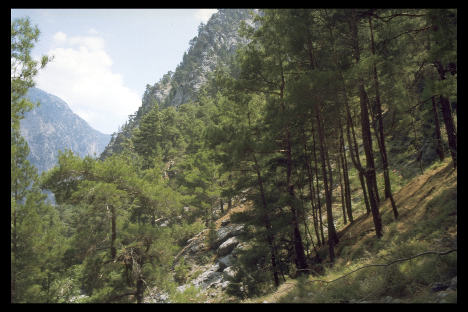
Region 1: Trypiti Gorge - Samaria
Region 2: Madhares
Region 3: Agios Ioannis - Papadiana - Aradena
Region 4: Anopoli
Region 5: Ilingas - Loutro - Livaniana
Region 6: Khora Sphakion - Sphakiano Gorge - Mouri
Region 7: Askyphou - Niato
Region 8: Frangokastello
|
|
On the web site you can look at the following information on zones,
regions and sites
|
Within each of the regions we have identified individual sites. A site
is a locus of human activity. The evidence collected by the Survey suggests
different site functions, such as settlement; religious (cave sanctuary,
temple, church); economic (bee-keeping, shepherding). We have recorded
315 sites ranging in date from ca 3000 B.C. to A.D. 1900, at altitudes
from sea level to 2335 metres.
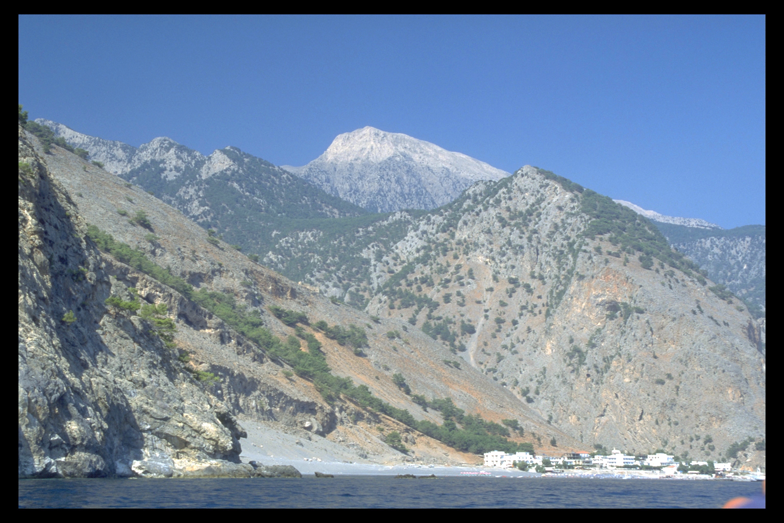
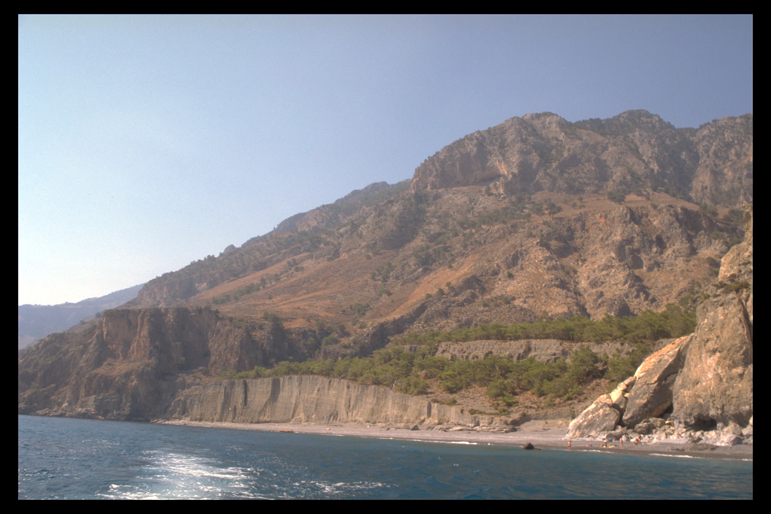
We also divided Sphakia into eight environmental zones:
1 Coasts and Coastal Plains
2 Lower Slopes
3 Basins and Mountain plains
4 Gorges and Cliffs
5 Middle Slopes
6 Upper Slopes
7 Mountain Desert
8 Madhares
All regions include more than one environmental zone, as seen in the
following table.
|
Environmental Zones
|
1
Coasts and Coastal Plains
|
2
Lower Slopes
|
3
Basins and Mountain plains
|
4
Gorges and Cliffs
|
5
Middle Slopes
|
6
Upper Slopes
|
7
Mountain Desert
|
8
Madhares
|
|
Region
1 Trypiti - Samaria
|
x
|
x
|
|
x
|
x
|
x
|
|
|
|
2 Madhares
|
|
|
|
|
|
|
x
|
x
|
|
3 Ag. Ioannis
|
x
|
x
|
|
x
|
x
|
|
|
|
|
4 Anopolis
|
|
x
|
x
|
|
x
|
|
|
|
|
5 Loutro
|
x
|
x
|
|
|
|
|
|
|
|
6 Khora Sphakion
|
x
|
x
|
|
x
|
x
|
|
|
|
|
7 Askyphou
|
|
|
x
|
|
x
|
|
|
|
|
8 Frangokastello
|
x
|
x
|
x
|
x
|
x
|
|
|
|
|