ARCHAEOLOGICAL SURVEY IN SPHAKIA, CRETE
L. Nixon, J. Moody, S. Price, and O. Rackham, Echos du Monde Classique/Classical
Views 34, n.s. 9 (1990), 213-20
We are most grateful to the Editor of Echos du Monde Classique/Classical
Views for permission to reproduce this article here
INTRODUCTION
 The
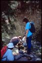
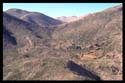
Sphakia Survey undertook two seasons of fieldwork in the spring and summer
of 1989 1. In the spring we worked mainly
in the Samaria Gorge; we are most grateful to the Archaeological Service
and to the staff of the Canadian Archaeological Institute at Athens for
making it possible for us to begin work there at an unusually early date.
The two objectives of the spring season were: 1) to investigate the possibility
of pre-Neolithic occupation in the Samaria Gorge, with specialist help
(Bailey, Kotzambopoulou); and 2) to continue the survey begun in the Samaria
Gorge in 1987. In addition, with the kind permission of Melpo Pologiorgi,
we were able to examine the Archaic material from Tarrha (excavated by
G. Tzedakis). We also visited Anopolis, and the eastern end of the eparchy
of Sphakia (area of Skaloti and Argoules).
The
Sphakia Survey undertook two seasons of fieldwork in the spring and summer
of 1989 1. In the spring we worked mainly
in the Samaria Gorge; we are most grateful to the Archaeological Service
and to the staff of the Canadian Archaeological Institute at Athens for
making it possible for us to begin work there at an unusually early date.
The two objectives of the spring season were: 1) to investigate the possibility
of pre-Neolithic occupation in the Samaria Gorge, with specialist help
(Bailey, Kotzambopoulou); and 2) to continue the survey begun in the Samaria
Gorge in 1987. In addition, with the kind permission of Melpo Pologiorgi,
we were able to examine the Archaic material from Tarrha (excavated by
G. Tzedakis). We also visited Anopolis, and the eastern end of the eparchy
of Sphakia (area of Skaloti and Argoules).
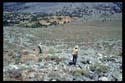
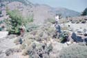
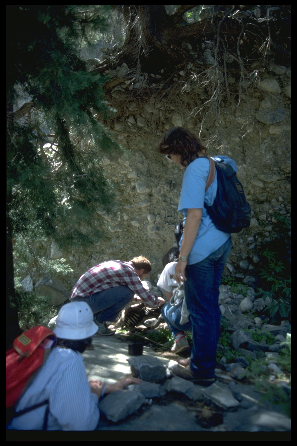
 The
eight week summer season was spent mainly in intensive surveying, largely
by the same method outlined in last year's report 2.
Some surveying was designed to amplify our knowledge of areas investigated
in 1987 and 1988: the ridge site of ancient Anopolis was transected, with
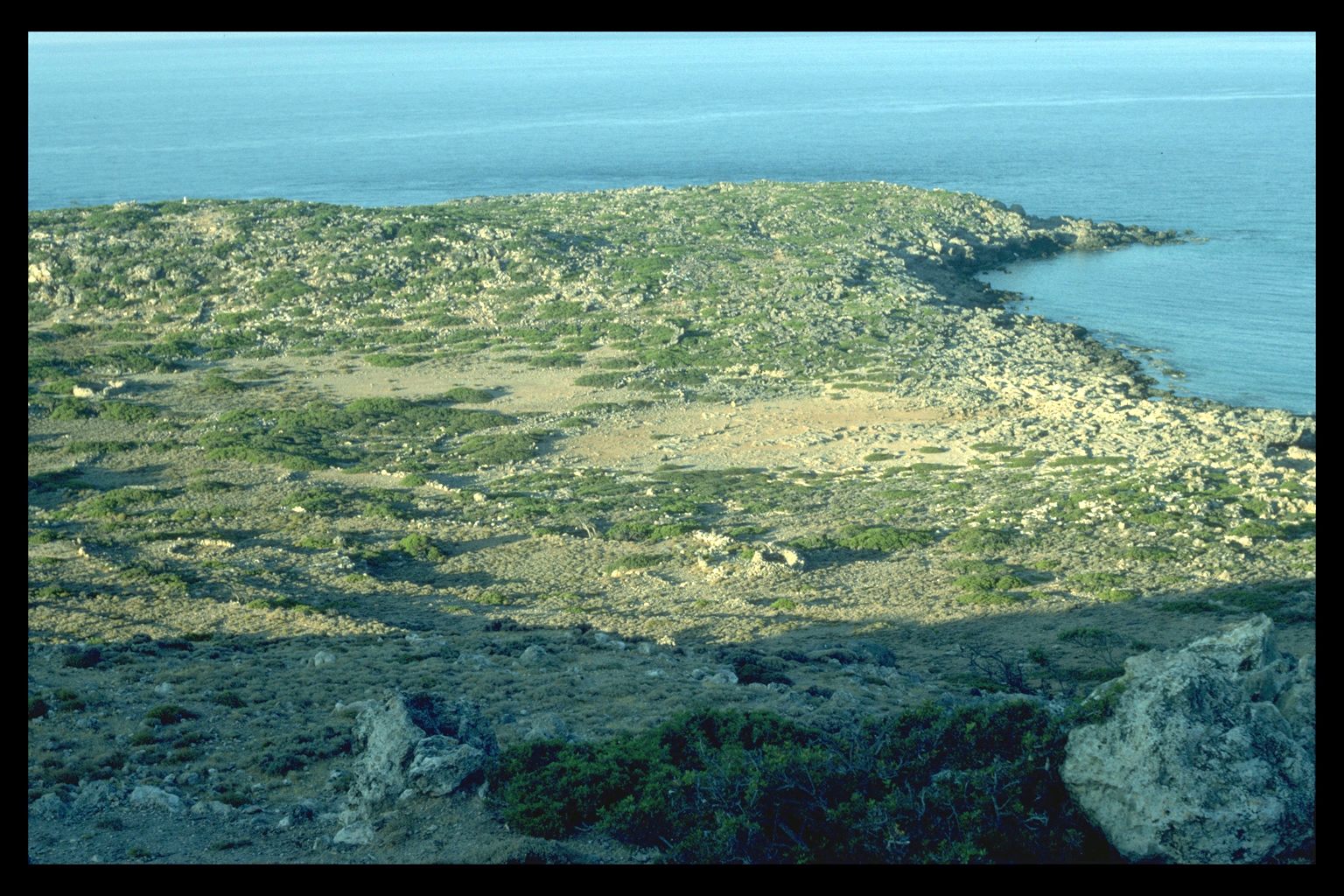
collection of material every 10 m, and the Loutro-Phoinix peninsula was
more thoroughly transected than was possible previously, with collection
of material every 25 m. But the bulk of the transecting took place in
areas not previously investigated by us, or indeed by others. The
eight week summer season was spent mainly in intensive surveying, largely
by the same method outlined in last year's report 2.
Some surveying was designed to amplify our knowledge of areas investigated
in 1987 and 1988: the ridge site of ancient Anopolis was transected, with
collection of material every 10 m, and the Loutro-Phoinix peninsula was
more thoroughly transected than was possible previously, with collection
of material every 25 m. But the bulk of the transecting took place in
areas not previously investigated by us, or indeed by others.
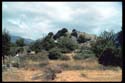
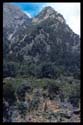
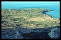
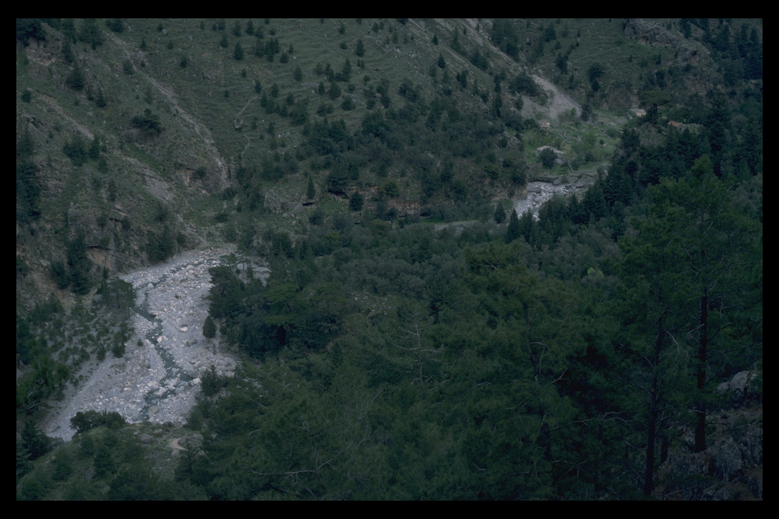
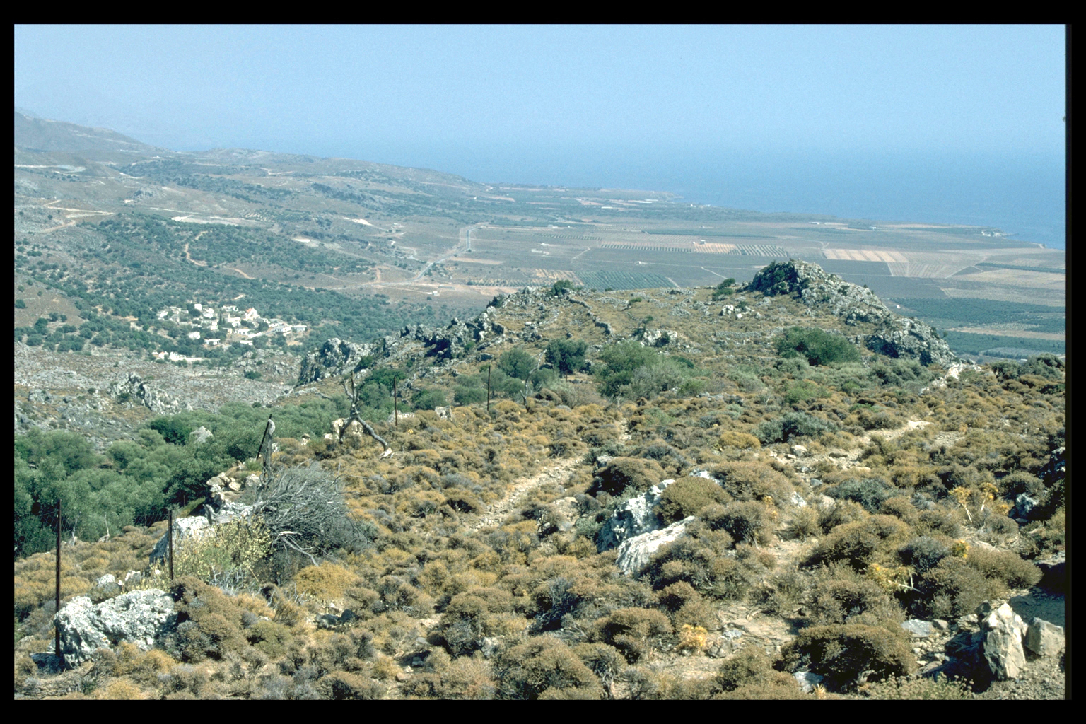
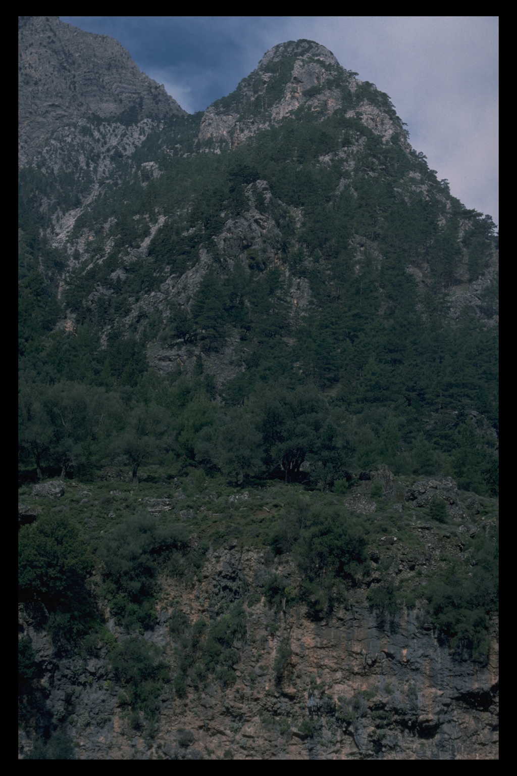
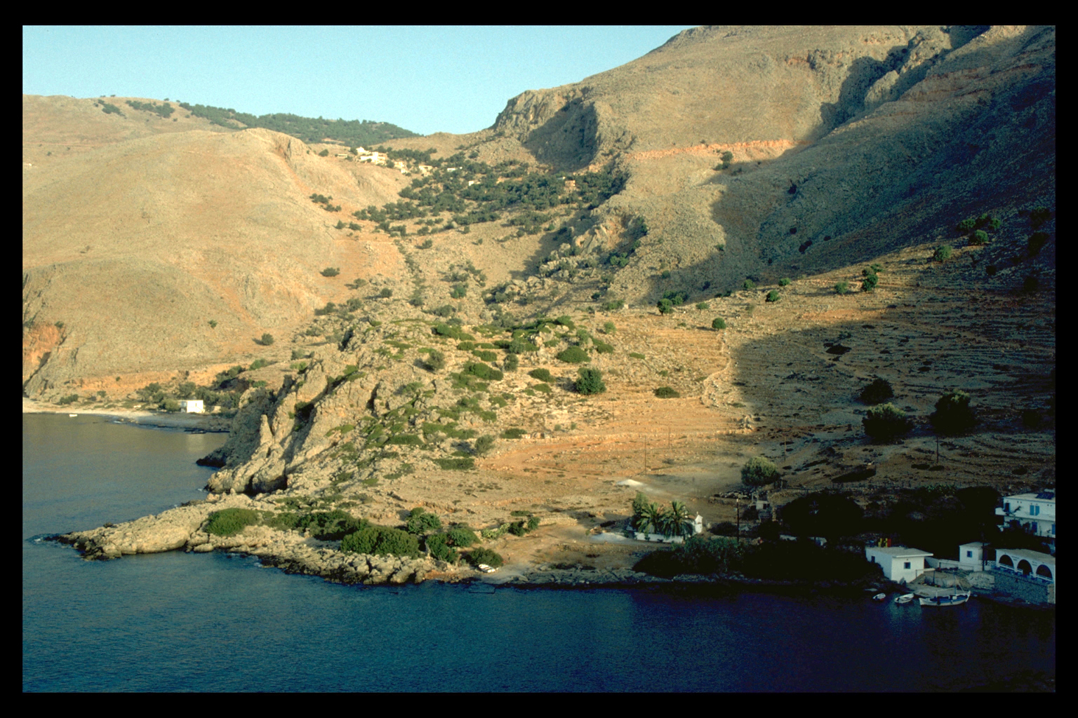
   In
the course of the two seasons we worked in the following environmental
zones (as defined in the report on the 1987 season; see also Environmental
section of web site): coastal plain (Zone 1), to the east of Frangokastello;
foothills, up to 800 m (Zone 2), Ag. Pavlos, around Ag. Ioannis, Loutro-Phoinix
peninsula, Livaniana; mountain plains (Zone 5), Anopolis , Askyphou, Asphendou;
gorges and cliffs (Zone 6), Samaria Gorge; mountain desert (Zone 7), on
route to the Madhares; the Madhares (Zone 8), the pastures high in the
White Mountains. In both spring and summer seasons we also revisited sites
previously surveyed by transects in order to make general site collections
of artifacts and to record other information about the sites; made extensive
investigations of sites discovered by other archaeologists or reported
to us by locals; had the geomorphology of the White Mountains studied
by John Shaw; had the bulk of our post-prehistoric pottery studied by
John Hayes and Margrete Hahn; drew and photographed vernacular architecture;
studied the historical ecology of the region; and took further footage
for the instructional videotape about the survey (a version based on the
1988 season has now been completed). In
the course of the two seasons we worked in the following environmental
zones (as defined in the report on the 1987 season; see also Environmental
section of web site): coastal plain (Zone 1), to the east of Frangokastello;
foothills, up to 800 m (Zone 2), Ag. Pavlos, around Ag. Ioannis, Loutro-Phoinix
peninsula, Livaniana; mountain plains (Zone 5), Anopolis , Askyphou, Asphendou;
gorges and cliffs (Zone 6), Samaria Gorge; mountain desert (Zone 7), on
route to the Madhares; the Madhares (Zone 8), the pastures high in the
White Mountains. In both spring and summer seasons we also revisited sites
previously surveyed by transects in order to make general site collections
of artifacts and to record other information about the sites; made extensive
investigations of sites discovered by other archaeologists or reported
to us by locals; had the geomorphology of the White Mountains studied
by John Shaw; had the bulk of our post-prehistoric pottery studied by
John Hayes and Margrete Hahn; drew and photographed vernacular architecture;
studied the historical ecology of the region; and took further footage
for the instructional videotape about the survey (a version based on the
1988 season has now been completed).
The following provisional results of the 1989 work are presented by
period.
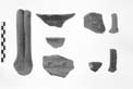
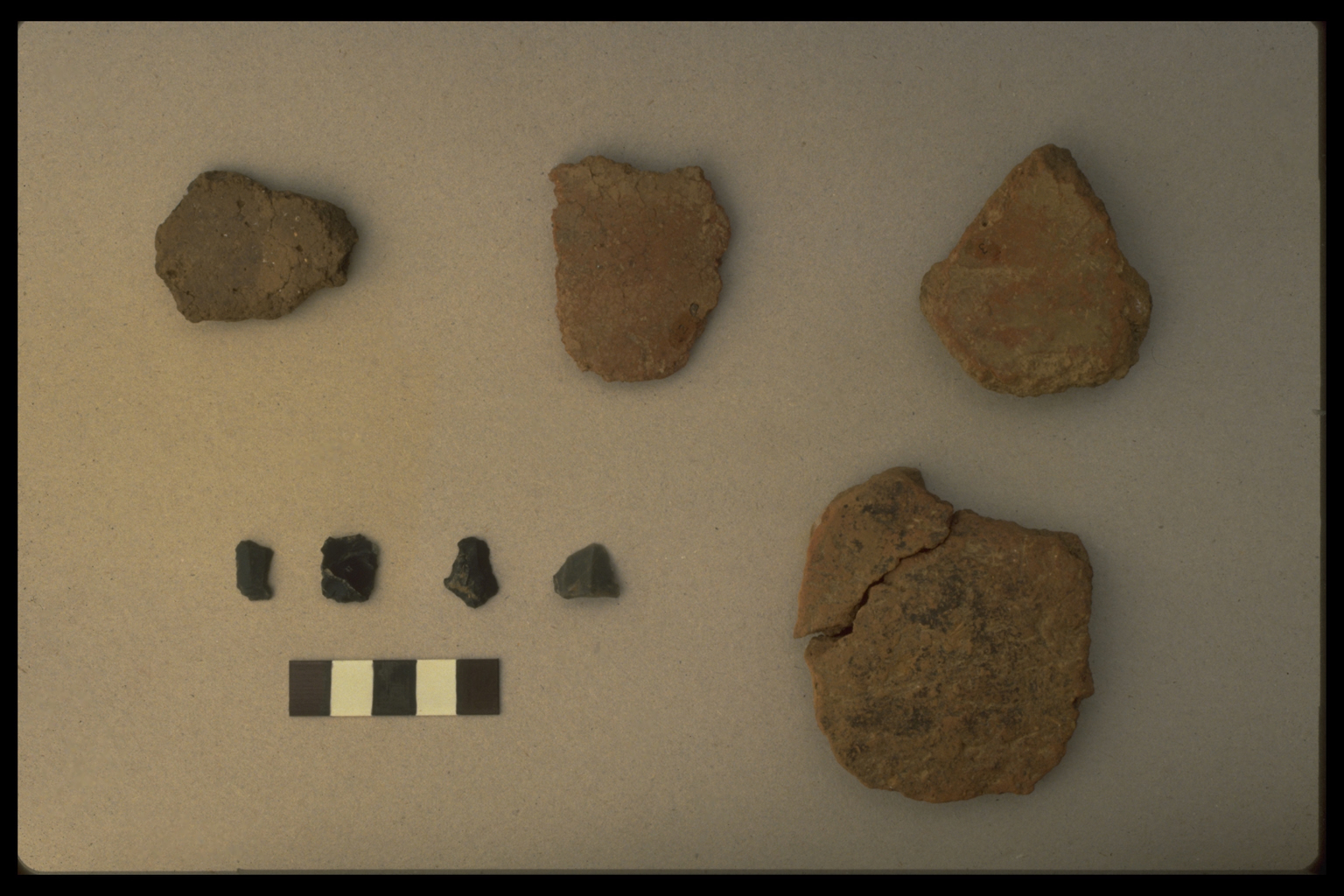
PREHISTORIC
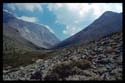
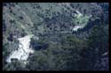
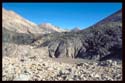
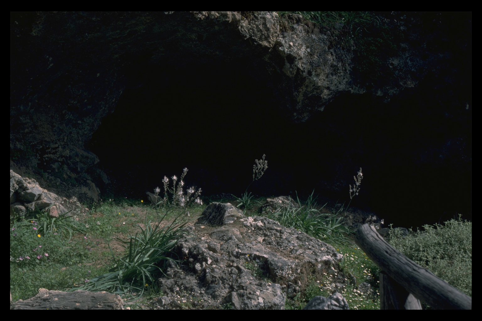
Samaria Gorge
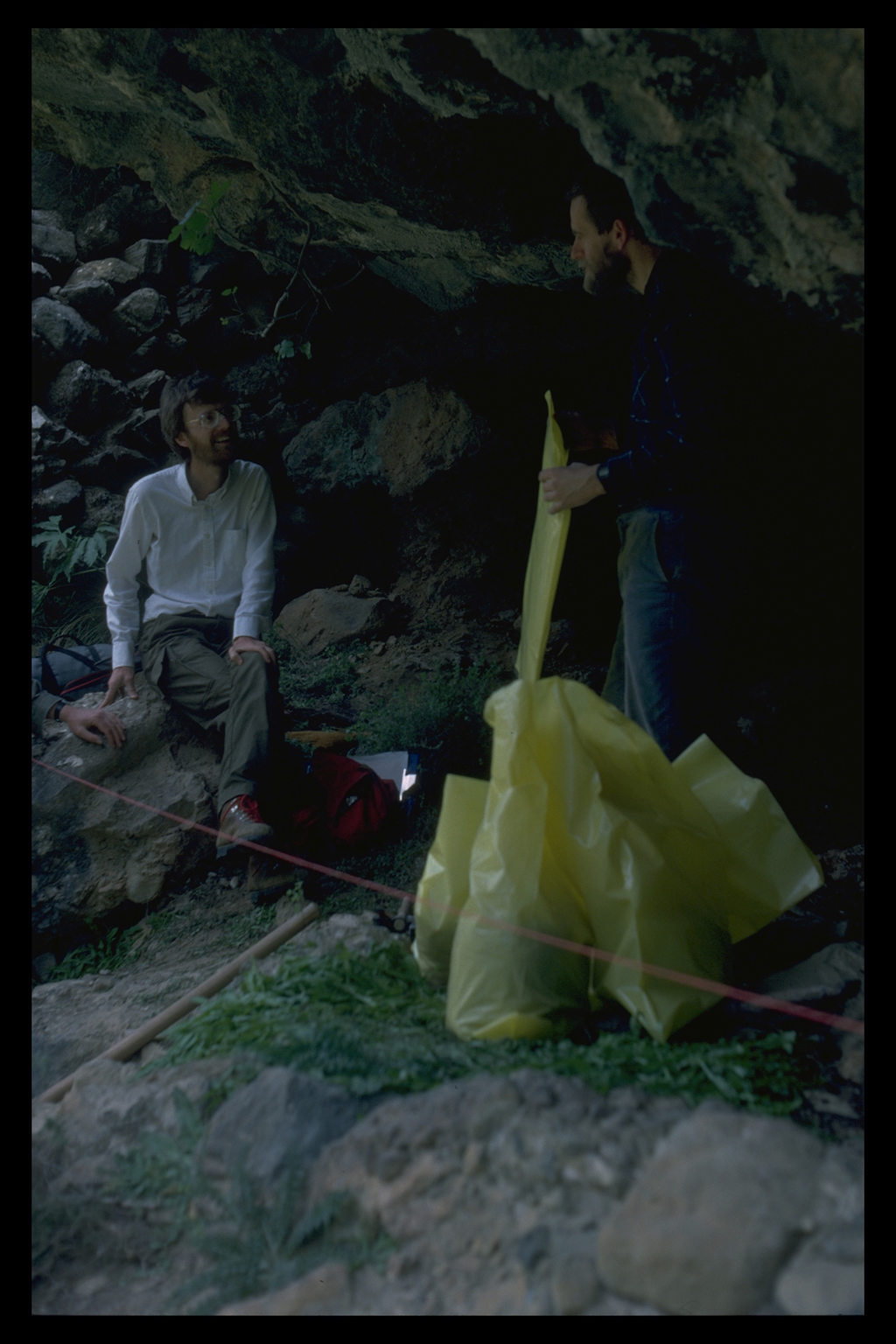
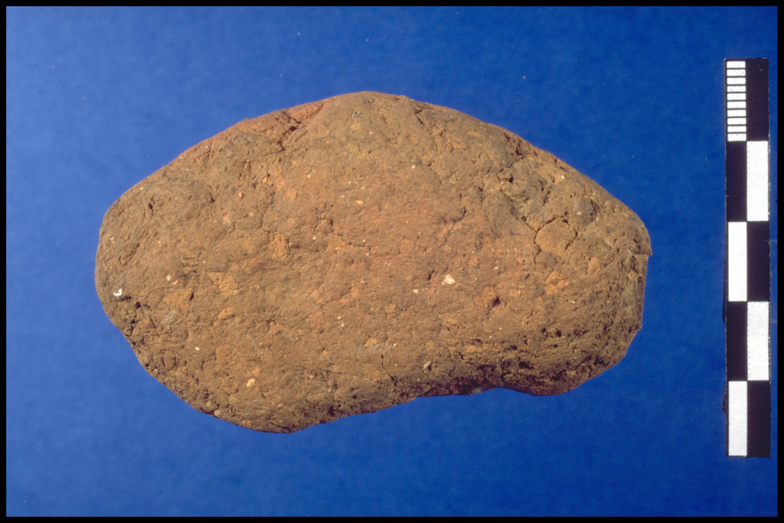
 Under
the guidance of Geoff Bailey, an attempt was made to establish a date
for the possible Mesolithic stone tools found by Mortensen in the Samaria
Gorge in 1982. It was important to verify Mortensen's tentative dating,
as the material would constitute the earliest evidence for human occupation
on Crete, otherwise unknown before the Neolithic period. The pieces of
grey chert were found on the tourist path below slopes too steep for human
habitation. Under
the guidance of Geoff Bailey, an attempt was made to establish a date
for the possible Mesolithic stone tools found by Mortensen in the Samaria
Gorge in 1982. It was important to verify Mortensen's tentative dating,
as the material would constitute the earliest evidence for human occupation
on Crete, otherwise unknown before the Neolithic period. The pieces of
grey chert were found on the tourist path below slopes too steep for human
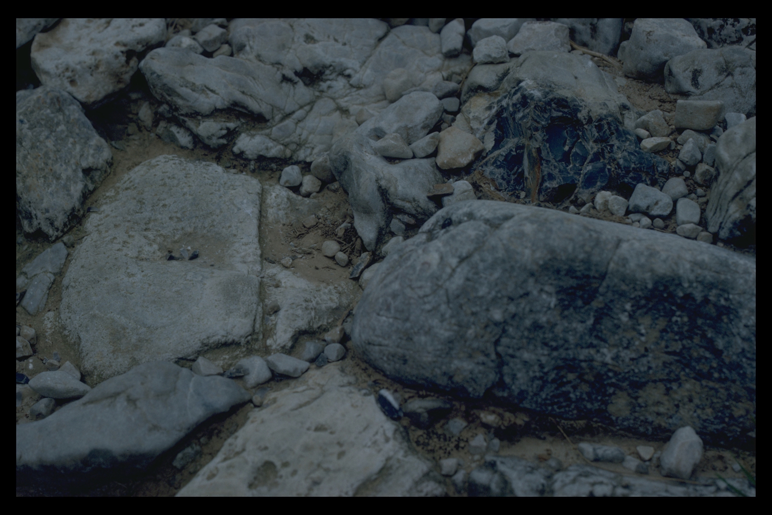
habitation.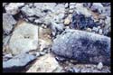 A small rock shelter near the finds yielded very few pieces on the floor
and none in the cemented deposit at the back, and only a few isolated
pieces were recovered by scraping inthe earth along the sides of the path.
A few of the possible stone tools did look worked and would not be out
of place in a late Upper Palaeolithic-Mesolithic assemblage. There were,
however, no standardized tool types, and the seemingly early pieces could
have been produced by natural processes of flint fracture. In fact, large
limestone cobbles with veins of grey chert are embedded in the path where
the pieces were found, and the 200,000 people who hike the gorge each
year would easily provide the kind of trampling necessary to make such
"tools". Our conclusion is that the finds were worked not by
the hands of Mesolithic (or other) people living in the Gorge, but by
accidental wear.
A small rock shelter near the finds yielded very few pieces on the floor
and none in the cemented deposit at the back, and only a few isolated
pieces were recovered by scraping inthe earth along the sides of the path.
A few of the possible stone tools did look worked and would not be out
of place in a late Upper Palaeolithic-Mesolithic assemblage. There were,
however, no standardized tool types, and the seemingly early pieces could
have been produced by natural processes of flint fracture. In fact, large
limestone cobbles with veins of grey chert are embedded in the path where
the pieces were found, and the 200,000 people who hike the gorge each
year would easily provide the kind of trampling necessary to make such
"tools". Our conclusion is that the finds were worked not by
the hands of Mesolithic (or other) people living in the Gorge, but by
accidental wear.
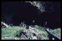
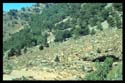
Accordingly, we decided not to excavate trial trenches on the path and
in the area of the adjacent rock shelter, but to investigate other suitable
rock shelters and caves in the Gorge for traces of pre-Neolithic occupation.
Rock shelters and caves were considered "suitable" if they were
located more than approximately 10 m above the old (Pleistocene) river
terraces, now cut the gorge. Rock shelters of this type would have had
easy access to water, while being safe from floods. The 15 rock shelters
investigated occur in the east arm of the gorge at Moti, and in the main
section all the way to the coast at Agia Roumeli. In spite of careful
inspection of a variety of geological sections in these rock shelters
and caves, no indication whatever was found of the stone artifacts, animal
bone, or charcoal which should be associated with prehistoric occupation.
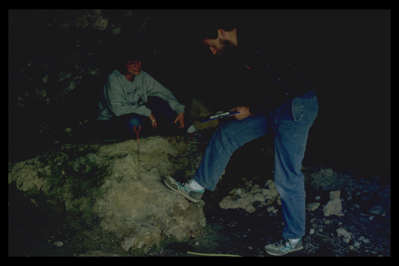
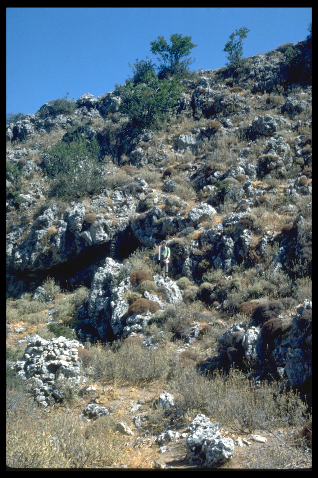
 A
rock shelter close to the old village of Samaria was selected for a more
detailed test, with the approval of Eleni Kotzambopoulou. The site is
about 20 m above the modern flood plain and contains traces of cemented
and partly eroded scree against the back wall.The cave floor also is covered
by soft deposits of soil of greater than usual thickness. The rear section
was cleaned and a small sample of the deposit loosened and removed for
detailed examination. A shallow 50 x 50 cm test pit was excavated at the
base of the section to establish the relationship between the rear section
and the floor deposits. A
rock shelter close to the old village of Samaria was selected for a more
detailed test, with the approval of Eleni Kotzambopoulou. The site is
about 20 m above the modern flood plain and contains traces of cemented
and partly eroded scree against the back wall.The cave floor also is covered
by soft deposits of soil of greater than usual thickness. The rear section
was cleaned and a small sample of the deposit loosened and removed for
detailed examination. A shallow 50 x 50 cm test pit was excavated at the
base of the section to establish the relationship between the rear section
and the floor deposits. 
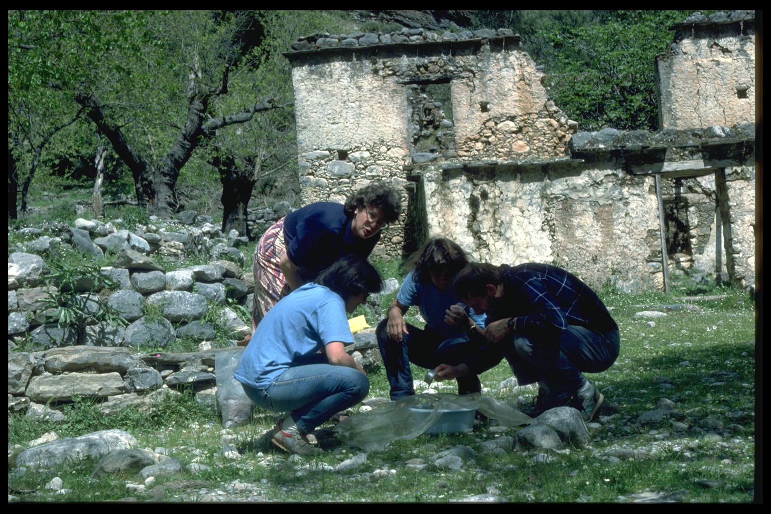
 A
similar shallow test pit was also excavated in the middle of the shelter
floor. Samples of material (rock fragments, sediment) from both test pits
were bagged, sealed, and carried back to the village, where they were
wet-sieved through a 1 mm mesh. Finds of buoyant charcoal or other carbonized
material were collected during the wet-sieving stage, and the dried residue
was sorted for small pieces of chips of flint or animal bone, but nothing
of archaeological significance was found. This negative result confirms
our assessment that these deposits are archaeologically sterile.
A
similar shallow test pit was also excavated in the middle of the shelter
floor. Samples of material (rock fragments, sediment) from both test pits
were bagged, sealed, and carried back to the village, where they were
wet-sieved through a 1 mm mesh. Finds of buoyant charcoal or other carbonized
material were collected during the wet-sieving stage, and the dried residue
was sorted for small pieces of chips of flint or animal bone, but nothing
of archaeological significance was found. This negative result confirms
our assessment that these deposits are archaeologically sterile.
Because scholars have for so long assumed that there were no humans on
Crete before the Neolithic period, few specialists in earlier periods
currently visit the island. In consequence, the collaboration of Bailey
and Kotzambopoulou during the season was very useful. For example, it
is now clear that the gorges in southern Crete (unlike those in northern
Greece) are so geomorphologically active that traces of early human activity
would have been scoured away long ago. Any evidence for the late Pleistocene
occupation of Crete is more likely to be found on the more placid northern
coast.
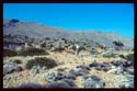
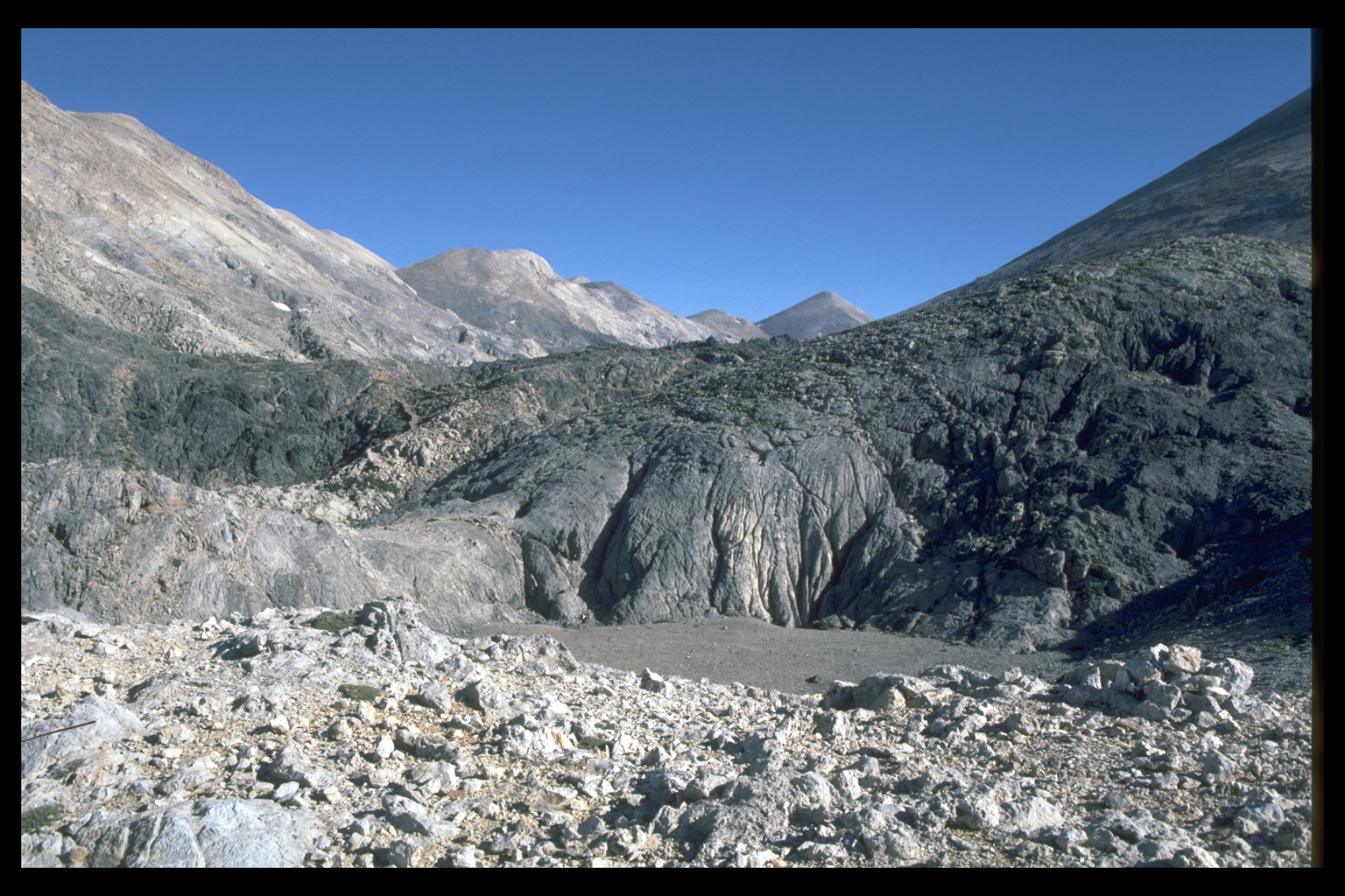
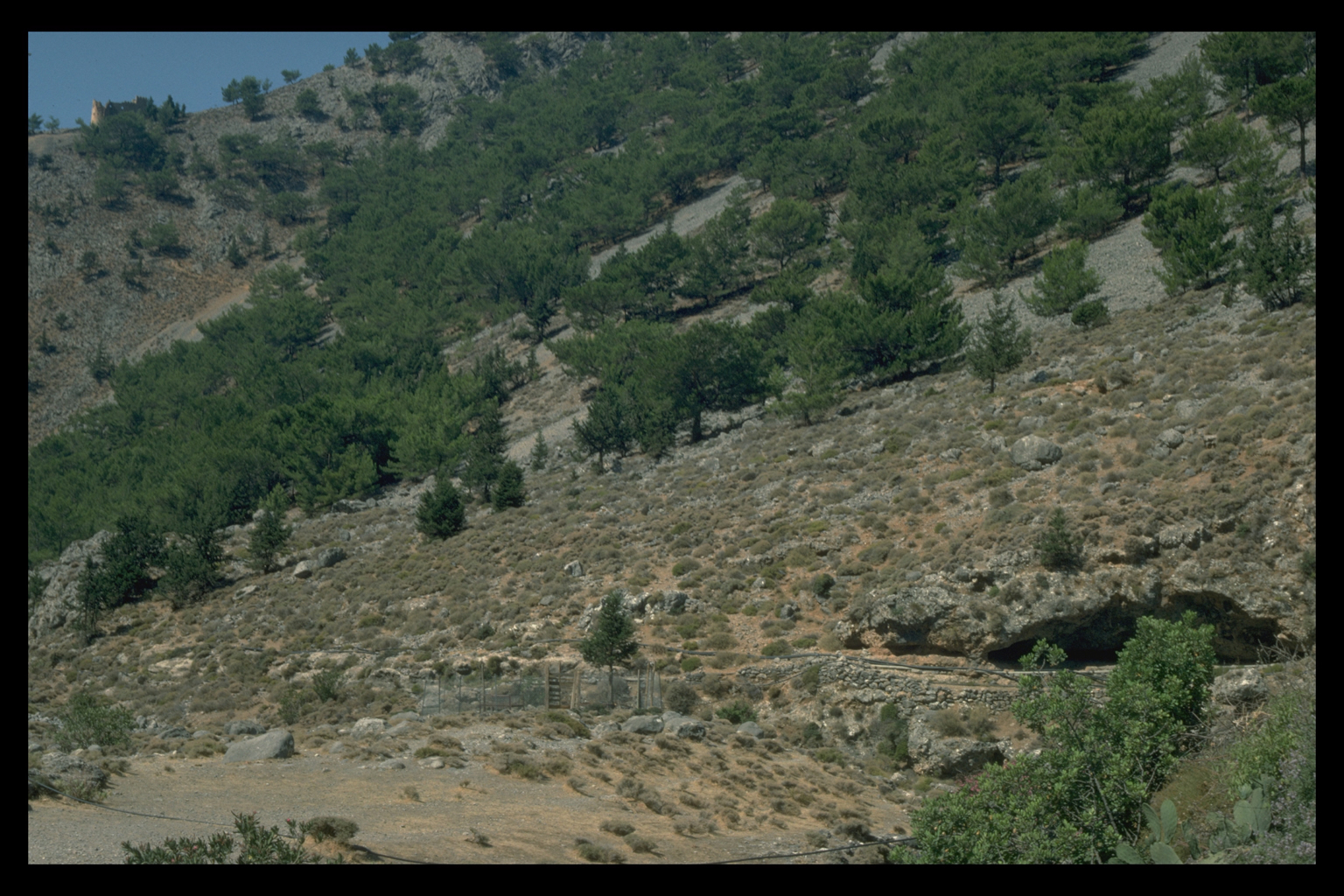
Madhares
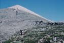
 The
Madhares proved to be of particular interest for the prehistoric period,
both environmentally and archaeologically. Because glaciation is known
to have occurred in the Ida Range of Central Crete, we wanted to see if
it had affected Western Crete as well. John Shaw covered most of the likely
locations in the White Mountains and found a mature periglacial landscape
apparently undissected by glacial action. The bedrock in the White Mountains
fractures easily, and cliffs, if formed at all, are quickly degraded to
scree and smooth, rectilinear slopes not conducive to the accumulation
of snow. By contrast, the highest parts of the Ida Range are made of a
type of limestone whose structure allows the maintenance of steep high
cliffs. Snow may be piled against these cliffs by drifting and thus accumulate
in sufficient depth to form ice and glaciers. In consequence, the Ida
Range was glaciated and the White Mountains were not, even though the
climatic conditions in both areas were favourable for glaciation in the
late Pleistocene. The
Madhares proved to be of particular interest for the prehistoric period,
both environmentally and archaeologically. Because glaciation is known
to have occurred in the Ida Range of Central Crete, we wanted to see if
it had affected Western Crete as well. John Shaw covered most of the likely
locations in the White Mountains and found a mature periglacial landscape
apparently undissected by glacial action. The bedrock in the White Mountains
fractures easily, and cliffs, if formed at all, are quickly degraded to
scree and smooth, rectilinear slopes not conducive to the accumulation
of snow. By contrast, the highest parts of the Ida Range are made of a
type of limestone whose structure allows the maintenance of steep high
cliffs. Snow may be piled against these cliffs by drifting and thus accumulate
in sufficient depth to form ice and glaciers. In consequence, the Ida
Range was glaciated and the White Mountains were not, even though the
climatic conditions in both areas were favourable for glaciation in the
late Pleistocene. 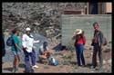
 There
was, however, permanent snow on the White Mountains in this period, creating
periglacial conditions, and, as a result, climatic zones in western Crete
could have been compressed, as they seem to have been in the centre of
the island. Crossing the White Mountains would have been difficult all
year round in such conditions, and there would have been no possibility
for animals, with or without humans, to use the Madhares as summer pasture.
At present, the Madhares are used by shepherds both from the Sphakia side
and from the north from May or June, when the snow melts, until September
or October, when it begins to fall. A paved road is currently being built
on the route that crosses the White Mountains and runs through the Madhares;
its construction makes our investigations all the more timely. There
was, however, permanent snow on the White Mountains in this period, creating
periglacial conditions, and, as a result, climatic zones in western Crete
could have been compressed, as they seem to have been in the centre of
the island. Crossing the White Mountains would have been difficult all
year round in such conditions, and there would have been no possibility
for animals, with or without humans, to use the Madhares as summer pasture.
At present, the Madhares are used by shepherds both from the Sphakia side
and from the north from May or June, when the snow melts, until September
or October, when it begins to fall. A paved road is currently being built
on the route that crosses the White Mountains and runs through the Madhares;
its construction makes our investigations all the more timely.
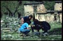
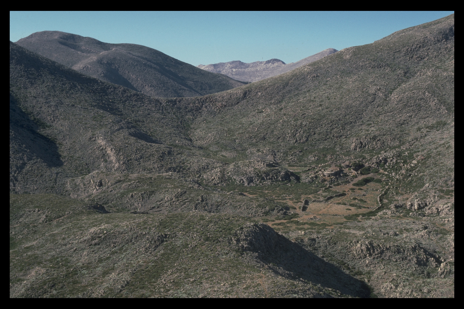
 In
the Madhares, the Survey concentrated on the areas near mitata (stone
huts used by shepherds for cheese-making in the summer) and water sources,
and on the routes in between them, as these offer the only realistic locations
for even seasonal occupation in this area. Seven sites with prehistoric
pottery were found, of which three date to the Final Neolithic/Early Minoan
period. The pottery could be the result of traffic over the White
Mountains, but it could also represent seasonal use of the area. Whether
the Madhares were used by transhumant shepherds in the prehistoric periods
is not yet possible to say, but the early date of this material is interesting
for such a seemingly remote area. In
the Madhares, the Survey concentrated on the areas near mitata (stone
huts used by shepherds for cheese-making in the summer) and water sources,
and on the routes in between them, as these offer the only realistic locations
for even seasonal occupation in this area. Seven sites with prehistoric
pottery were found, of which three date to the Final Neolithic/Early Minoan
period. The pottery could be the result of traffic over the White
Mountains, but it could also represent seasonal use of the area. Whether
the Madhares were used by transhumant shepherds in the prehistoric periods
is not yet possible to say, but the early date of this material is interesting
for such a seemingly remote area.
 We
also identified new prehistoric sites elsewhere in Sphakia. There is prehistoric
material beside the old village of Agia Roumeli and on the coast to the
south, at the mouth of the Samaria Gorge. Despite careful scrutiny, no
prehistoric material was found in the immediate vicinity of the village
of Samaria to accompany the only evidence for prehistoric activity within
the Samaria Goarge: a single Minoan tripod foot from the nearby Mitatouli
ravine. To the east, on a small coastal shelf, there is a site with much
Early Minoan material (and almost nothing later). In the mountain plain
of Askyphou we found two prehistoric sites and some obsidian. We
also identified new prehistoric sites elsewhere in Sphakia. There is prehistoric
material beside the old village of Agia Roumeli and on the coast to the
south, at the mouth of the Samaria Gorge. Despite careful scrutiny, no
prehistoric material was found in the immediate vicinity of the village
of Samaria to accompany the only evidence for prehistoric activity within
the Samaria Goarge: a single Minoan tripod foot from the nearby Mitatouli
ravine. To the east, on a small coastal shelf, there is a site with much
Early Minoan material (and almost nothing later). In the mountain plain
of Askyphou we found two prehistoric sites and some obsidian. 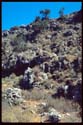
 We
visited the small rock overhang of Skordoulaki in the neighbouring plain
of Asphendou, but found no prehistoric pottery in or near it. The graffiti
below the overhang seem to us to hve been incised with metal tools and
therefore may not date, as has been suggested to any phase of the Stone
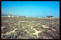
Age 3. On the Frangokastello Plain we found
new Minoan sites in the vicinity of the castle, and near the eastern edge
of the eparchy. We
visited the small rock overhang of Skordoulaki in the neighbouring plain
of Asphendou, but found no prehistoric pottery in or near it. The graffiti
below the overhang seem to us to hve been incised with metal tools and
therefore may not date, as has been suggested to any phase of the Stone
Age 3. On the Frangokastello Plain we found
new Minoan sites in the vicinity of the castle, and near the eastern edge
of the eparchy.
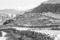
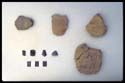
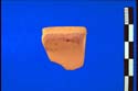
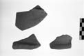
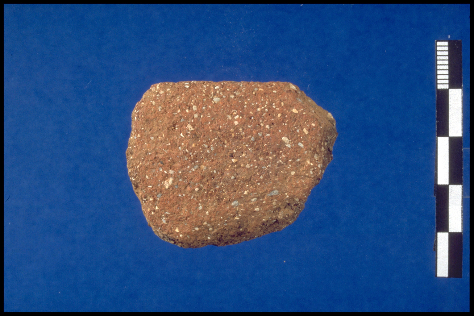
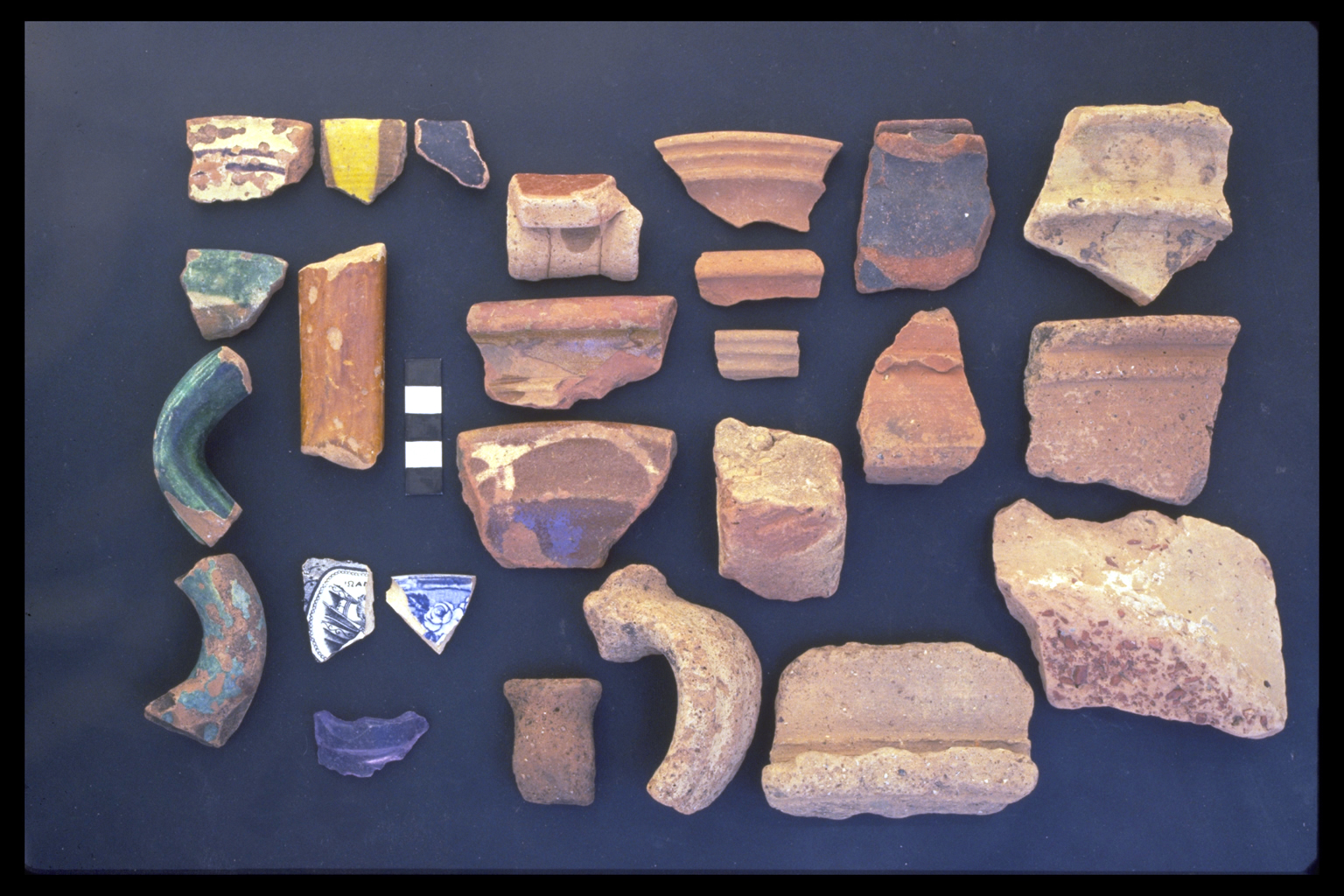
ARCHAIC-CLASSICAL-HELLENISTIC-ROMAN
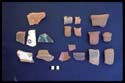
Geometric or Archaic material remains rare, but we now have some sherds
probably from these periods from Ag. Roumeli and ancient Anopolis.
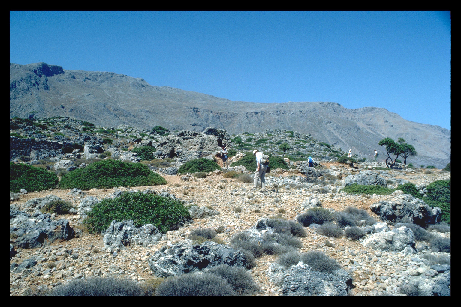
 Identified
classical-Hellenistic sites have increased in number. The hillside west
of upper Ag. Roumeli was the site of the main classical-Hellenistic settlement
of Tarrha. In the Frangokastello area intensive transecting finally located
a classical-Hellenistic site on the slopes near Patsianos which fills
an otherwise puzzling gap between the extensive prehistoric and Roman
material on the plain itself. Classical-Hellenistic pottery is abundant
on the site of ancient Anopolis; the fine wares seem to be largely Cretan
in origin. There was also some Hellenistic-Roman activity up in the Madhares. Identified
classical-Hellenistic sites have increased in number. The hillside west
of upper Ag. Roumeli was the site of the main classical-Hellenistic settlement
of Tarrha. In the Frangokastello area intensive transecting finally located
a classical-Hellenistic site on the slopes near Patsianos which fills
an otherwise puzzling gap between the extensive prehistoric and Roman
material on the plain itself. Classical-Hellenistic pottery is abundant
on the site of ancient Anopolis; the fine wares seem to be largely Cretan
in origin. There was also some Hellenistic-Roman activity up in the Madhares.
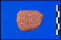
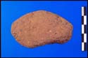
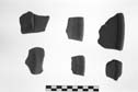
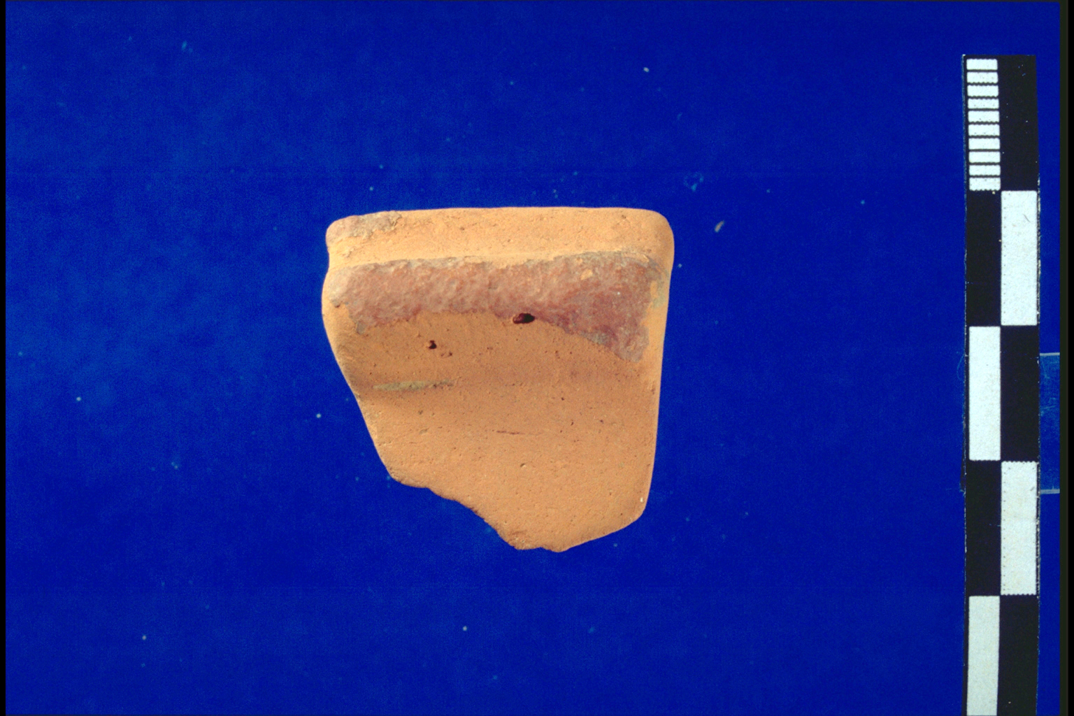
Roman-Late Roman pottery
 The
pottery of the Roman period (studied by John Hayes) includes imports of
the early to mid first century A.C. (Italian terra sigillata; a few Campanian
amphoras), but imported pottery seems to be scarce after this date. The
later varieties of Italian terra sigillata are lacking; other terra sigillata
wares are scarce (except at Phoinix-Loutro); African Red Slip ware of
the imperial period is rare (with second century material occurring mainly
at Loutro, and a third to fourth-century A.C. gap), and there is a lack
of second to third-century A.C. classic Aegean thin, fine cookware types.
In other words, pottery from the classical-Hellenistic period through
the fourth century A.C. seems to be mainly Cretan in origin. During much
of the Hellenistic-Roman period it may be that Sphakia had few connections
with other parts of the Mediterranean. The
pottery of the Roman period (studied by John Hayes) includes imports of
the early to mid first century A.C. (Italian terra sigillata; a few Campanian
amphoras), but imported pottery seems to be scarce after this date. The
later varieties of Italian terra sigillata are lacking; other terra sigillata
wares are scarce (except at Phoinix-Loutro); African Red Slip ware of
the imperial period is rare (with second century material occurring mainly
at Loutro, and a third to fourth-century A.C. gap), and there is a lack
of second to third-century A.C. classic Aegean thin, fine cookware types.
In other words, pottery from the classical-Hellenistic period through
the fourth century A.C. seems to be mainly Cretan in origin. During much
of the Hellenistic-Roman period it may be that Sphakia had few connections
with other parts of the Mediterranean.
Roman-Late Roman sites
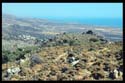
 There
were also changes in settlement location in the Roman period. The inland
site of Tarrha seems to have been abandoned in the Roman or Late Roman
period in favour of the coastal site at the east side of the mouth of
the Samaria Gorge. Ancient Anopolis, too, shows almost no signs of occupation
after the mid first century A.C., while the port below it at Loutro-Phoinix
was active in the imperial period. From the fifth to seventh centuries,
African Red Slip and Phocaean Red Slip appear in concentrations at a small
number of sites: Tarrha , Loutro-Phoinix, the area of Ag. Ioannis, the
Askyphou plain and the Frangokastello plain, including to the east of
the castle; most of this material was discovered in 1989. There
were also changes in settlement location in the Roman period. The inland
site of Tarrha seems to have been abandoned in the Roman or Late Roman
period in favour of the coastal site at the east side of the mouth of
the Samaria Gorge. Ancient Anopolis, too, shows almost no signs of occupation
after the mid first century A.C., while the port below it at Loutro-Phoinix
was active in the imperial period. From the fifth to seventh centuries,
African Red Slip and Phocaean Red Slip appear in concentrations at a small
number of sites: Tarrha , Loutro-Phoinix, the area of Ag. Ioannis, the
Askyphou plain and the Frangokastello plain, including to the east of
the castle; most of this material was discovered in 1989.
 This pattern was noted in 1989. The finds show that Sphakia, even inland,
was in touch with the outside world, but there there may have been fewer
sites in this period.
This pattern was noted in 1989. The finds show that Sphakia, even inland,
was in touch with the outside world, but there there may have been fewer
sites in this period.
 For
example, in the Askyphou plain, there is just one site of the fifth to
seventh centuries, near the modern neighbourhood of Goni, which may represent
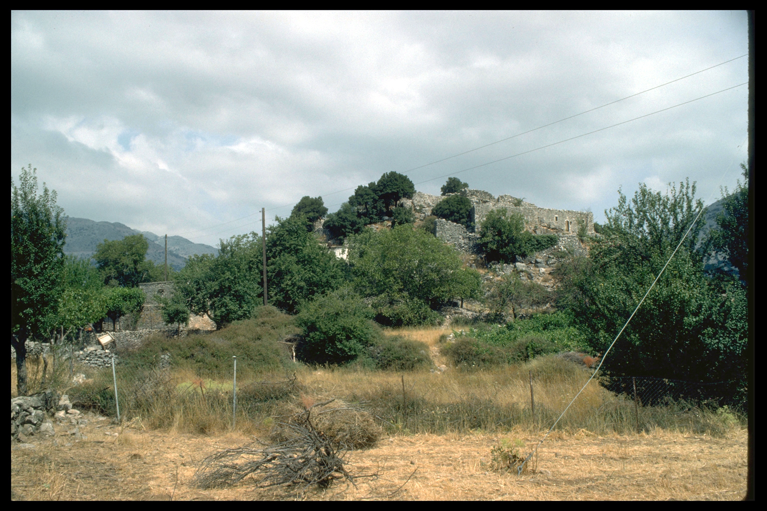
a central place controlling the plain at this time. Finally, a Late Roman
refuge site is located at Pano Khora, high above the old village of Samaria
in the Samaria Gorge. For
example, in the Askyphou plain, there is just one site of the fifth to
seventh centuries, near the modern neighbourhood of Goni, which may represent
a central place controlling the plain at this time. Finally, a Late Roman
refuge site is located at Pano Khora, high above the old village of Samaria
in the Samaria Gorge.
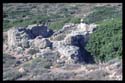
Late Roman earthquake
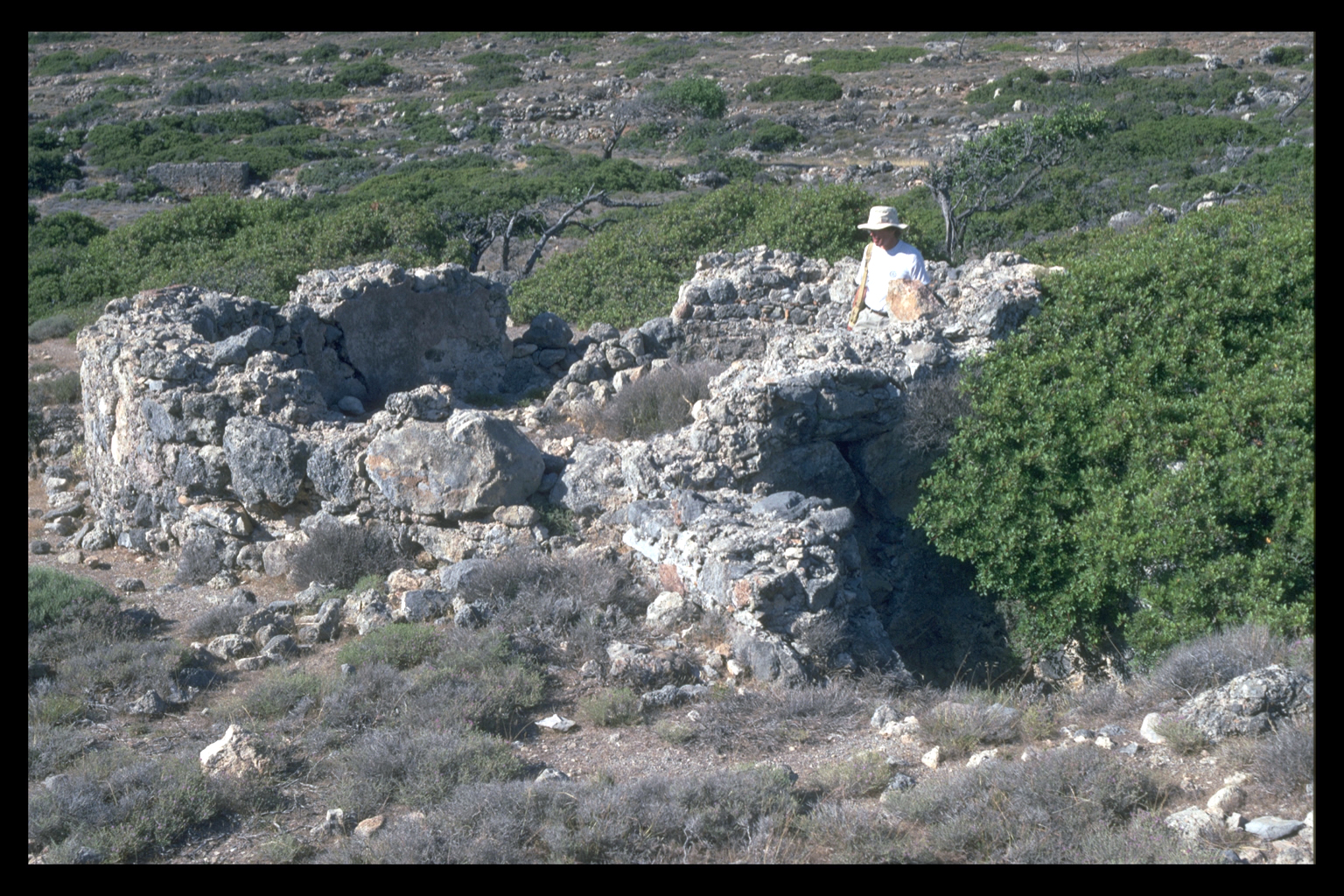
 The history of the coastal sites was dramatically affected some time between
A.D. 380 and 460 by a violent earthquake which raised the western end
of Crete 4. The uplift in Sphakia was about
4 m. The coastal site of Tarrha would have been very vulnerable to the
sea before this uplift. Walls of two different periods run around the
site on the east side of the river mouth 5.
One wall is 1.20 m wide, built of unshaped, unmortared limestone and conglomerate.
There are traces of a second wall of mortared stones with occasional tile
fragments which runs about 2 m horizontally below the first. These walls
are probably a defence against the sea, dating to before the uplift. Graves
of the Greek and Roman periods were located inside the wall, which would
otherwise be very anomalous; the wall appears to terminate abruptly at
the west edge of the site at a small cliff which would not deter any human
foe; on the south part of the site there is a vertical and doubly undercut
cliff (height about 6 m), and above the cliff is a surf zone stopping
some 5 m (horizontally) short of the wall. Even a slightly higher sea
level would permit the surf to reach the wall. After the great uplift
coastal Tarrha was a much more hospitable place.
The history of the coastal sites was dramatically affected some time between
A.D. 380 and 460 by a violent earthquake which raised the western end
of Crete 4. The uplift in Sphakia was about
4 m. The coastal site of Tarrha would have been very vulnerable to the
sea before this uplift. Walls of two different periods run around the
site on the east side of the river mouth 5.
One wall is 1.20 m wide, built of unshaped, unmortared limestone and conglomerate.
There are traces of a second wall of mortared stones with occasional tile
fragments which runs about 2 m horizontally below the first. These walls
are probably a defence against the sea, dating to before the uplift. Graves
of the Greek and Roman periods were located inside the wall, which would
otherwise be very anomalous; the wall appears to terminate abruptly at
the west edge of the site at a small cliff which would not deter any human
foe; on the south part of the site there is a vertical and doubly undercut
cliff (height about 6 m), and above the cliff is a surf zone stopping
some 5 m (horizontally) short of the wall. Even a slightly higher sea
level would permit the surf to reach the wall. After the great uplift
coastal Tarrha was a much more hospitable place.
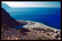
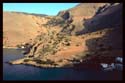
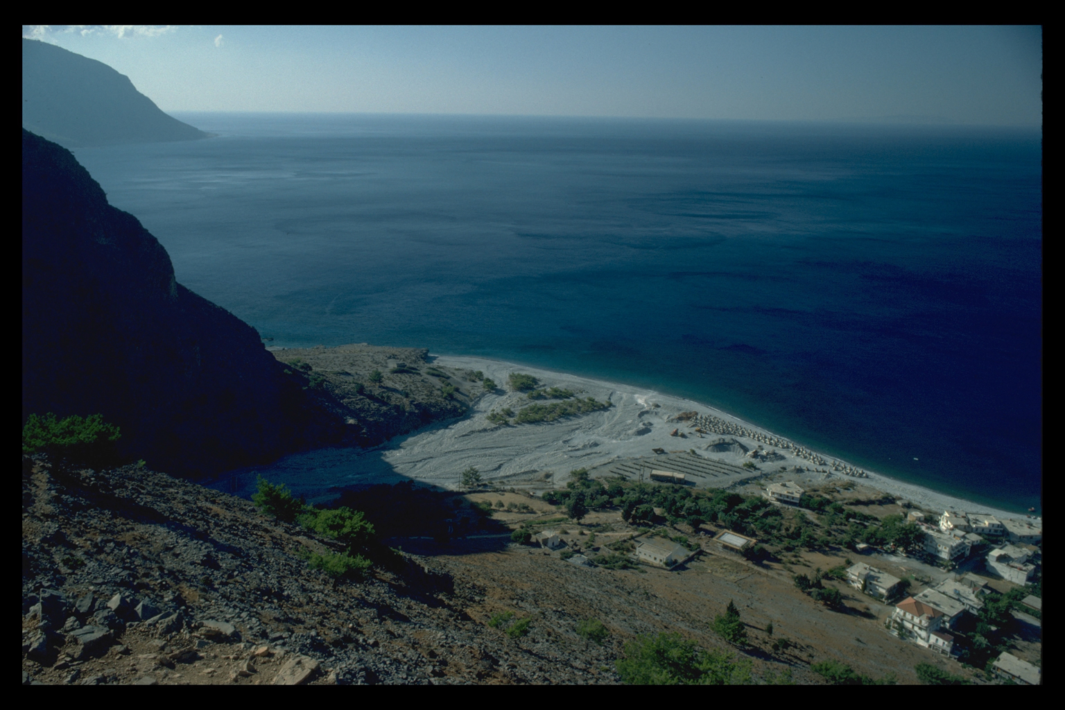
 The
harbours of Phoinix-Loutro were also affected by the uplift. Before it,
a harbour on the west side of the peninsula offered an ample anchorage,
well protected from storms 6. A substantial
wall (1 m wide) ran for over 120 m round its southern side. Within it,
in what would have been shallow water, is a circular tank, perhaps a fish
tank, beside a well. There is a rectangular tank on the north side of
the harbour. This harbour was raised high and dry (except for winter storms)
by the uplift, but there were still two other harbours on the peninsula.
The bay of Poinikas (at the north-west side of the peninsula) may have
been suitable for beaching ships, although very few sherds have been found
nearby.
The
harbours of Phoinix-Loutro were also affected by the uplift. Before it,
a harbour on the west side of the peninsula offered an ample anchorage,
well protected from storms 6. A substantial
wall (1 m wide) ran for over 120 m round its southern side. Within it,
in what would have been shallow water, is a circular tank, perhaps a fish
tank, beside a well. There is a rectangular tank on the north side of
the harbour. This harbour was raised high and dry (except for winter storms)
by the uplift, but there were still two other harbours on the peninsula.
The bay of Poinikas (at the north-west side of the peninsula) may have
been suitable for beaching ships, although very few sherds have been found
nearby.
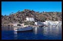
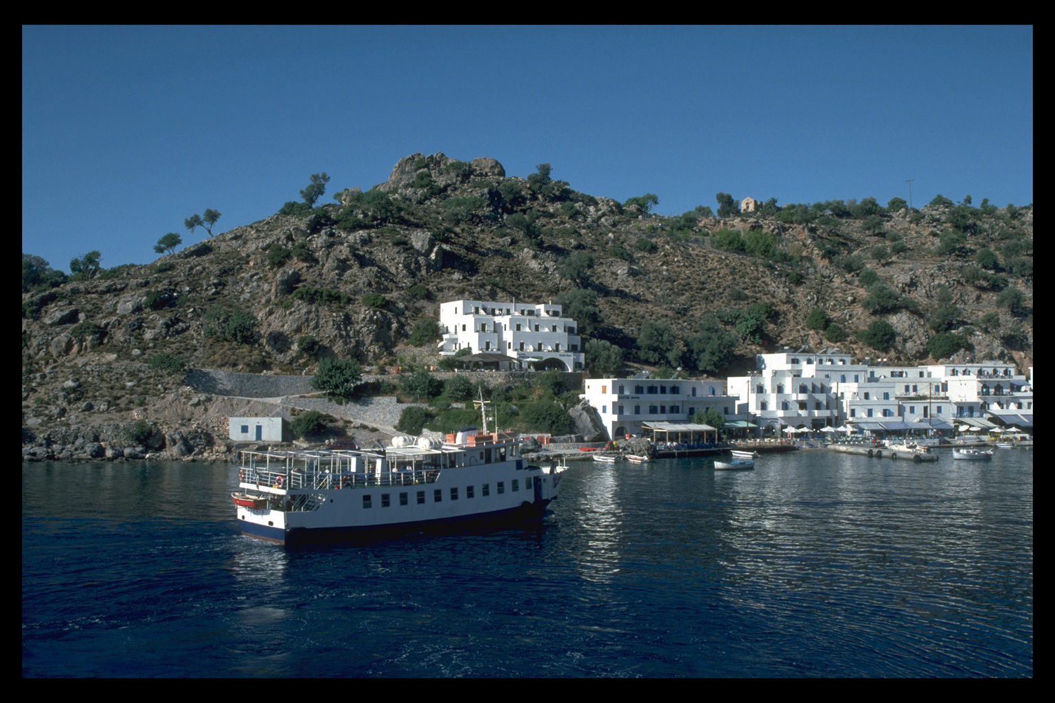
 But
there was still the deep-water harbour on the east side of the peninsula
(the modern port of Loutro). As finds of pottery from the shore and the
harbour itself show, this harbour was used through the Hellenistic and
Roman periods 7. It was (and is) the only
winter harbour on the south coast of Crete. But
there was still the deep-water harbour on the east side of the peninsula
(the modern port of Loutro). As finds of pottery from the shore and the
harbour itself show, this harbour was used through the Hellenistic and
Roman periods 7. It was (and is) the only
winter harbour on the south coast of Crete.
BYZANTINE-VENETIAN-TURKISH
As
everywhere else on Crete, the centuries between the seventh century A.C.,
when recognizable imports end, and the mid-Venetian period remain obscure
archaeologically in Sphakia, since local Byzantine pottery is impossible
to identify with any certainty 8. There
is, however, a tantalizing hint of continuity from the late Roman period
in some possibly Byzantine pottery at the site of Askyphou-Goni. There
is one other site of Byzantine-early Venetian date, in the Asphendou plain;
isolated sherds of possibly Byzantine date come from Tarrha East, Livaniana,
the Frangokastello plain (Ag. Nikitas) and the Madhares.
Venetian
Pottery
is much more common from the fifteenth or early sixteenth century onwards.
New sites of the fifteenth/sixteenth centuries to the early Turkish period
were located in the Anopolis Plain and in the area of Ag. Ionannis; the
Anopolis plain has numerous sherds of the Venetian period. There are imports
of Khaniote ware of the fifteenth-sixteenth centuries, and some imports
from Italy itself, from Loutro-Phoinix and the upper village of Samaria
(the latter is a nice correlate of the exports of timber from the Samaria
Gorge to Venice) 9. Only one type of Venetian
coarse ware has so far been recognized: a jug from Niato of a type which
is found at Khania in the sixteenth to seventeenth century layers.
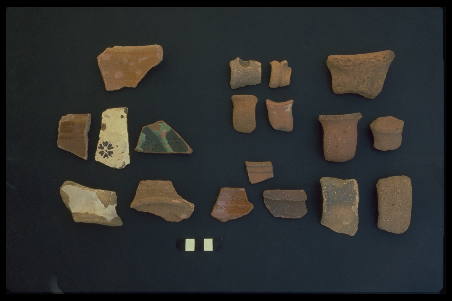
Turkish

 Turkish
pottery has, of course, been found over most of the survey area. Most
common is the eighteenth/nineteenth-century fine dribble ware; imports
include sherds with loop decoration, common in the Khania area, and Çanakkale
or Çanakkale-typewares (for example from upper Samaria). In general,
Turkish coarse ware of the area seems to have a wider range of different
fabrics than is found at Khania. The most interesting sites of this period
explored this year are up in the Madhares. Cooking pots and drinking vessels
of the Turkish period were found around the mitata currently in use. The
nature of the pottery (and the absence of fine wares) shows that the present
pattern of seasonal occupation by (male) shepherds goes back at least
300 years. Turkish
pottery has, of course, been found over most of the survey area. Most
common is the eighteenth/nineteenth-century fine dribble ware; imports
include sherds with loop decoration, common in the Khania area, and Çanakkale
or Çanakkale-typewares (for example from upper Samaria). In general,
Turkish coarse ware of the area seems to have a wider range of different
fabrics than is found at Khania. The most interesting sites of this period
explored this year are up in the Madhares. Cooking pots and drinking vessels
of the Turkish period were found around the mitata currently in use. The
nature of the pottery (and the absence of fine wares) shows that the present
pattern of seasonal occupation by (male) shepherds goes back at least
300 years.
Transecting in Sphakia is now completed; in 1990 we hope to finish the
revisiting of sites and to make further progress on the writing of the
final publication.
LUCIA NIXON, UNIVERSITY OF NEW BRUNSWICK, SAINT JOHN
JENNIFER MOODY, UNIVERSITY OF MINNESOTA
VANNA NINIOU-KINDELI, KHANIA EPHOREIA
SIMON PRICE, LADY MARGARET HALL, OXFORD
OLIVER RACKHAM, CORPUS CHRISTI COLLEGE, CAMBRIDGE
FOOTNOTES
1. Permission to conduct the survey was obtained from the Archaeological
Council of the Greek Ministry of Culture and Sciences, through the
Canadian Archaeological Institute at Athens; and in addition, for
work in the Samaria Gorge, from the Greek Forest Service, and for
use of 1:5000 maps, from the Greek Army Mapping Service. The work
was funded by the Social Sciences and Humanities Research Council
of Canada, the Institute for Aegean Prehistory (New York), the Natural
Sciences and Engineering Research Council of Canada, the Craven
Committee (Oxford), the University of Cambridge, and the EEC project
on the Desertification of Southern Europe. The Oxford University
Language Laboratory again lent us a video camera. We are most grateful
to all these agencies. We would also like to thank other members
of the Khania Ephoreia, especially Stavroula Markoulakis, Maria
Vlasaki, Vanna Niniou-Kindeli and Elphidha Khatzidhakis; and Eleni
Kotzambopoulou of the Ephoreia of Palaeoanthropology and Speleology,
who acted as the representative of the Archaeological Service during
the spring season. We are grateful to Vasilis Kasiotakis and Nikolaos
Papadakis (Greek Forest Service) for permitting us to work in the
National Park of Samaria and to stay in the research station in
the old village. Mikhalis Borakis and Antonios Skoulakis (Forest
Service guards) helped us with logistical problems and local information.
The core team for the two seasons consisted of two survey archaeologists
(Lucia Nixon, then Queen's University at Kingston, now University
of New Brunswick at Saint John; Jennifer Moody, University of Minnesota),
and the member of the Greek Archaeological Service responsible for
Sphakia (Vanna Niniou-Kindeli, Khania Ephoreia); a historical ecologist
(Oliver Rackham, Univesity of Cambridge); and an historian (Simon
Price, University of Oxford). In the spring there were also two
palaeolithic specialists (Geoff Bailey, Univesrity of Cambridge,
Eleni Kotzambopoulou, Archaeological Service); in the summer there
was a glacial geomorphologist (John Shaw, Queen's University at
Kingston); a Roman pottery specialist (John Hayes, Royal Ontario
Museum, Toronto); and a Venetian and Turkish pottery specialist
(Margrete Hahn, University of Odense). In the summer there were
six dauntless Canadian students (Lynn Chang, Julie Clark, Morag
Kersel, David Marko, Queen's University; Douglas Alcock, Carleton
University; Vincent Brown, McMaster University).
|
back |
2. Our two earlier reports are L. Nixon, J. Moody, and O. Rackham,
"Archaeological Survey in Sphakia, Crete,"
EMC/CV 7 (1988) 159-73 (with map of the eparchy); L. Nixon, J. Moody,
S. Price and O. Rackham, "Archaeological
Survey in Sphakia, Crete," EMC/CV 8 (1989) 201-215 (with map
of the Anopolis region).
|
back |
3. A. Zois, "A propos des gravures rupestres d'Asphendou (Cr?te),"
BCH 97 (1973) 23-30.
|
back |
4. P. A. Pirazzoli et al., "Crustal block movements from Holocene
shoreline: Crete and Antikythira (Greece)," Tectonophysics 86 (1982)
27-43.
|
back |
|
5. Partially mapped by G. D. Weinberg, "Excavations at Tarrha,
1959," Hesperia 29 (1960) 90-108 at p. 92; further elucidated and
mapped by the Survey.
|
back |
6. First noted by R. M. Ogilvie, "Phoenix," Journal of Theological
Studies n.s. 9 (1958) 308-14, a reference we owe to Dr. John Wanklyn.
|
back |
7. We are grateful to Dr. Elphidha Khatzidhakis for allowing us
to see the pottery from the harbour at Loutro. The ancient amphorae
are now discussed in J.-Y. Empereur, S. Markoulaki, A. Marangou,
"Recherches sur les centres de fabrication d'amphores de Cr?te occidentale,"
BCH 113 (1989) 511-80.
|
back |
8. For a study of material from Khania see M. Hahn, "Byzantine
and Post-Byzantine Pottery from the Greek-Swedish Excavations at
Khania, Crete," in V. D?roche, J.-M. Spieser, eds., Recherches sur
la c?ramique byzantine. BCH, Supp. 18 (1989) 227-32.
|
back |
9. F. Thiriet, La Romanie v?nitienne au moyen-?ge. Biblioth?que
des …coles Fran?aises d'Ath?nees et de Rome, 195 (Paris 1959) 322.
|
back |
|


